#Earth Observation Hub Learn more
Made possible through partnership with
![]()
#Featured
#Ground stations
#Satellites
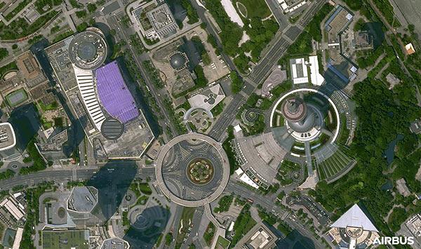
Ground Stations Explained: How Does Satellite Data Travel from Space to Earth?

#0.30m
#Airbus
#Construction
#Drones
#Environment
#Featured
#Maxar
#Optical
#Science
Bridging the Gap: How Buying Satellite and Drone Data is Evolving

#< 0.10m
#10m
#1m
#Agriculture
#Construction
#Drones
#Environment
#Environmental Protection
#Featured
#Multispectral
#Optical
#SAR
#Science
Are Drones and Satellites Competing or Complementary as Sources of Geospatial Data?
#0.30m
#Business
#Construction
#Drones
#Featured
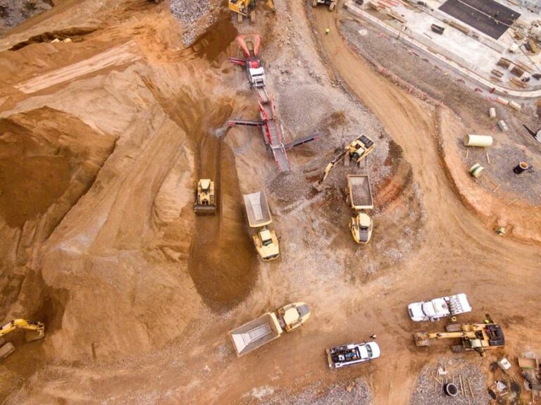
What Construction KPIs Can Be Measured Using Satellite and Drone Data?
#Business
#Construction
#Featured
#Financial Services
#Satellite tasking
How can satellite data add value for different construction stakeholders?
#Business
#Construction
#Drones
#Drones
#Featured
#Satellite tasking
Exploring the role of satellite and drone data in construction progress monitoring
#Copernicus
#Environment
#Geospatial analytics
#Geospatial for Good
#Ideas
#Landsat
#Optical
#SAR
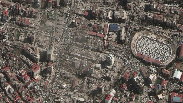
Introduction to Satellite Imagery and its Relevance to Disaster Management

#10m
#30m
#Copernicus
#Deep Learning
#Environment
#Environmental Protection
#Landsat
#Natural Resources
#Optical
#SAR
#Science
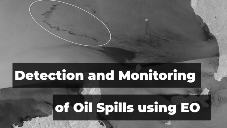
Leveraging Satellite Technology for Advanced Detection and Monitoring of Oil Spills

#>100m
#Atmospheric
#Environment
#Featured
#Government
#MODIS
#Science
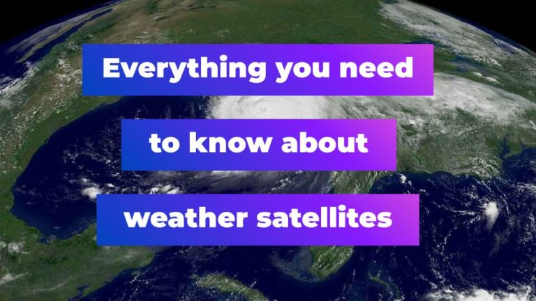
A look at the ways in which satellites are used to monitor and forecast weather
Search