#Environment


#Environment
#Featured
#Science
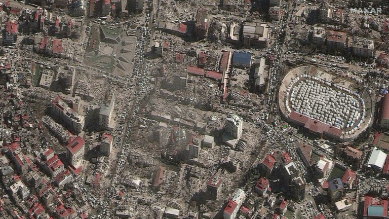
Revolutionizing disaster response with very high–resolution satellite data tasking
#Copernicus
#Environment
#Geospatial analytics
#Geospatial for Good
#Ideas
#Landsat
#Optical
#SAR
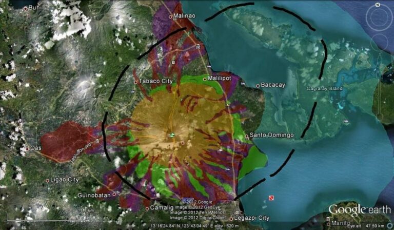
Introduction to Satellite Imagery and its Relevance to Disaster Management

#Environment
#Featured
#Science
How Mining Companies are using Satellite Data for ESG and Operational Efficiency
#10m
#30m
#Copernicus
#Deep Learning
#Environment
#Environmental Protection
#Landsat
#Natural Resources
#Optical
#SAR
#Science
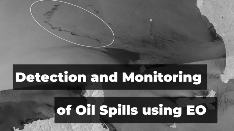
Leveraging Satellite Technology for Advanced Detection and Monitoring of Oil Spills

Search