


#Environment
#Fun
#Science
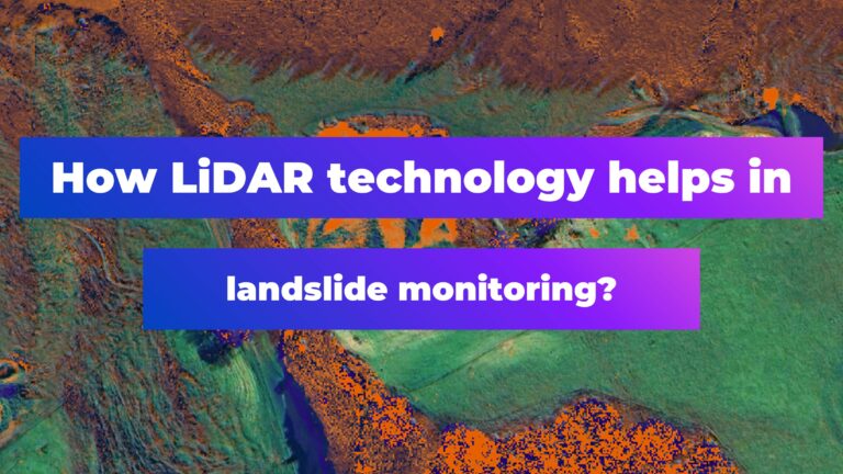
How LiDAR Technology Helps in Landslide Monitoring?

#Ideas
#People
#Satellites
#Science
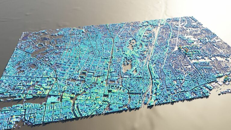
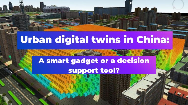
AI Assistance in Creating 3D City Visualizations
#Fun
#Science
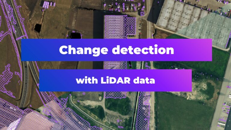
Change Detection with LiDAR Data

#Satellites
#Science
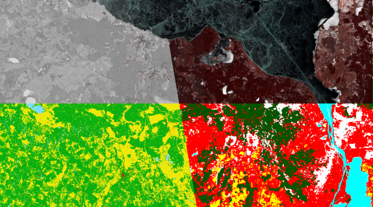
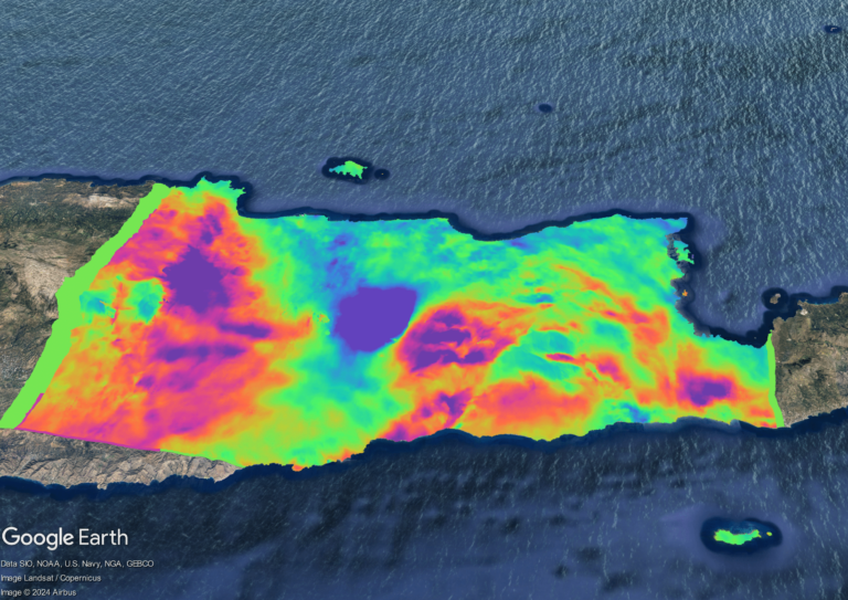
Exploring Earth’s Displacements using InSAR data


Search