Videos
Videos for the geospatial community from all the wonderful content creators from all across the world. Here are all the videos that we recommend that you check out to expand your geospatial horizon.
Geoawesomeness Blog
Geo on YouTube
Bad Addresses Are Expensive: An Introduction to Geo Addressing | Carmen Adame & Colin Mattison
Time to learn about precise Geo Addressing with the first shot from our recent Geoawesome Meetup!
Carmen Adame and Colin Mattison make an introduction to the topic and highlight its role in global logistics and insurance. Check how technologies like Precisely ID are paving the way for enhanced global connectivity and efficiency.
Geo Addressing: Why Bad Addresses Are Expensive | Mike Ashmore – Senior Director @PreciselyData
Ready for the 2nd part of Geo Addressing discussion? Mike's Ashmore's session promises to be a cornerstone, presenting the consequences of having an imprecise address. It's a huge chance to gain insights from a leading expert at Precisely!
EO Hub Survey Insights: The State of Earth Observation in 2024 | Discussion Panel
The second part of Earth Observation Trends 2024, where industry experts discuss the current state and impacts of geospatial technologies. Here you may learn invaluable perspectives from leaders like Julia Wagemann, Arnis Kadakovskis, and Jussi Koski, aiming to bridge gaps in the geospatial community and provide crucial insights into the evolving landscape of Earth observation.
EO Hub Survey Insights: The State of Earth Observation in 2024 | Aleksander Buczkowski
Let's explore The State of Earth Observation in 2024 with Geoawesomeness. Check out the first part from recent event featuring Aleksander Buczkowski unveiling the results of our Earth observation survey conducted with over 100 global industry professionals.
Revolutionizing Offshore Energy with SAR Technology | Erik Holtslag @Pondera
Offshore wind energy leverages aquatic turbines for higher, steadier winds, reducing land impact and emissions. Erik Holtslag of Pondera, with expertise in wind measurement and sustainable energy projects, promotes renewable solutions through innovative wind and solar initiatives.
Revolutionizing Offshore Energy with SAR Technology | Eshanta Mishra @Synspective
Offshore wind energy, utilizing turbines in water and satellite tech, offers consistent winds and minimal land impact, promoting a sustainable energy future. Eshanta Mishra from Synspective specializes in satellite technology for renewables, with a background in technical sales and project management in the AEC industry across Japan and Southeast Asia.
How browser-based mapping will change the way you work with maps
Join Loren Baxter, to understand how Felt designed the first internet-native mapping tool and why it’s about to transform the way you work with maps
Remote Sensing and GIS to Emergency Support, a multi-scalar approach
Sirio Modugno of World Food Programme shares details about how satellite data can be used for global food security
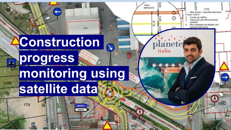
Top use cases for 30cm satellite data
Francesco Lacriola of Planetek Italia shares amazing use cases for 30cm satellite data
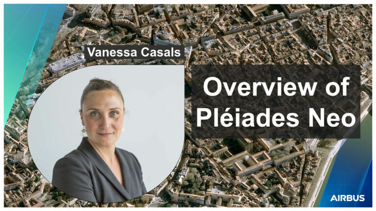
Overview of Pléiades Neo 30cm Satellite Data for Mapping
Vanessa Casals - Pléiades Neo Product Manager @Airbus Intelligence shared details about Airbus's latest 30cm constellation
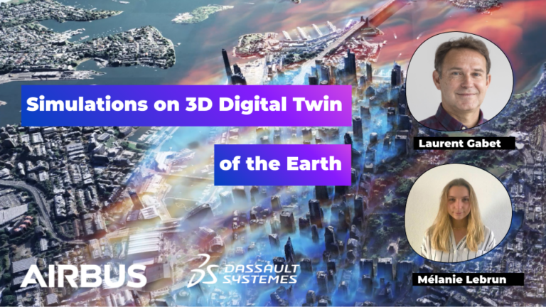
3D Digital Twin of the Earth from Satellite Imagery and Simulations
Laurent GABET of Airbus Defence & Space and Mélanie Lebrun of Dassault Systems present amazing 3D simulations based satellite data
GEOAWESOME @ INTERGEO 2023
Geoawesomeness is holding a panel today on the topic of "AI & Earth Observation for sustainability" - INTERGEO presenter Denise Wenzel met up with Muthukumar Kumar. and Aleks Buczkowski to get some insights for you on the panel and more.
The Golden Age of SAR? | Iain Woodhouse – Professor of Applied Earth Observation at the University of Edinburgh
SAR has promised great things, but has been slow to deliver. Are we now entering the real golden age of SAR, when it becomes the go-to solution for mapping Earth?
Exploring the SAR Revolution: Embracing the New Era in Earth Observation | Antara Dasgupta
Synthetic aperture radar (SAR) technology has exploded in availability as well as demand in the recent years, and with this the potential applications in academia and industry have also been revolutionized. As a SAR expert, I will offer insights on the latest advancements and applications of this technology, by exploring the current state of the art to understand how SAR can contribute to better understanding and monitoring of the earth's surface.
Can SAR data be utilized for effective decision making? | Goh Fukuda – Head of Product Development @Synspective
Dive deep into the realm of Synthetic Aperture Radar (SAR) data with Goh Fukuda, Head of Product Development at Synspective, in this thought-provoking presentation. He explores the crucial question: "Can SAR data be utilized for effective decision making?" Throughout this educational video, Fukuda will take you on a journey into the world of SAR technology, from its basic principles to its potential applications.
Anti-Deforestation Compliance & Risk Mitigation Tech.
Anti-Deforestation Compliance & Risk Mitigation Tech. Jakub is a problem solver at heart with a strong technical background — building products, growing teams, and scaling companies. He has 20 years of experience in software engineering, with over half of that time spent in various leadership positions. He believes in autonomous (product) teams empowered to work on specific customer problems.
EUDR and the Natural Rubber Industry.
EUDR and the Natural Rubber Industry. Helping supply chain and civil society members of the Global Platform for Sustainable Natural Rubber. Aiming to address the growing issues arising around the natural rubber supply chain. The platform is currently hosted by WBCSD Asia Pacific. The Global Platform for Sustainable Natural Rubber is an international, multistakeholder, voluntary membership organisation with a mission to lead improvements in the socioeconomic and environmental performance of the natural rubber value chain.
Earth Observation for Sustainable Forests | Veronika Strnadová and Marketa Gladysev
Veronika Strnadová and Marketa Gladysev of The European Union Agency for the Space Programme (EUSPA) talk about remote sensing and the new EU Deforestation Regulation (EUDR).

Career chat with Martha Morrisey, machine learning engineer at Pachama
In this video, Robin speaks with Martha Morrisey, a machine learning engineer at Pachama, to gain insights into her experience and career path in this field. Discover Martha's journey and the role of a machine learning engineer at Pachama. Pachama is a company that aims to fight climate change by using remote sensing data and machine learning to measure and monitor carbon capture and storage projects in forests.
Geobusiness, women in GIS, mentorship and more, with Cyhana Williams
Cyhana is a UX Researcher with Microsoft and Co-Founder of African Women in GIS (AWiGIS). AWiGIS is an online community for African women worldwide who study, work or are enthusiasts about the geospatial industry. In this episode, she shared her experience working with geospatial data in her community.
Search