Events
All digital and IRL events of relevance to the geospatial community in one place. Interested in hosting an event together with our team? Send us a quick message!

SatSummit 2024
SatSummit convenes leaders in the satellite industry and experts in global development for 2 days of presentations and in-depth conversations on solving the world's most critical development challenges with satellite data.

GEO Business 2024
Join 6,400+ built environment professionals at Digital Construction Week on 5-6 June 2024 at ExCeL London. The UK’s leading event for innovation and technology in the built environment features two
days packed of inspiring content. Including 300+ speakers across 10 stages, 120 hours of CPD accredited education, 150+ exhibitors, live demos, workshops, networking drinks, and much more!
Don’t miss your chance to explore the future of the built environment, get inspired and connect with other industry innovators. Register for your FREE ticket now.
Past events
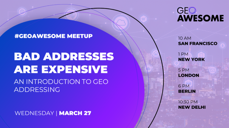
Bad Addresses Are Expensive: An Introduction to Geo Addressing
Join our Community Meetup to explore the importance and challenges of accurate geo-addressing. This session will highlight the significant impacts of address inaccuracies on global logistics, insurance, and beyond. Discover the critical role of geo-addressing in our interconnected world and how emerging technologies, like Precisely ID, promise to enhance global connectivity and efficiency. Don't miss this opportunity to learn about innovative solutions and contribute to improving global address accuracy.
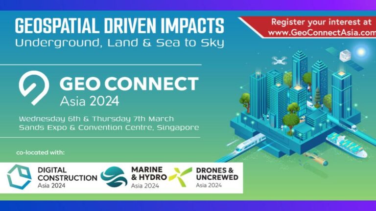
GEO Connect Asia 2024
The Geo Connect Asia Show and Conference has scaled up from its launch to become the regional meeting place for the fast expanding geospatial, positioning, digital construction andremote sensing markets.
Earth Observation Trends 2024
We are excited to present our future plans, exploring the exciting opportunities that lie ahead. Additionally, we'll be taking a reflective look back at the achievements and lessons learned from the past year, aiming to build upon our successes and navigate the path toward an even brighter future. Your active participation and insights are crucial as we collectively shape the trajectory of our community. Let's embark on this collaborative journey together!
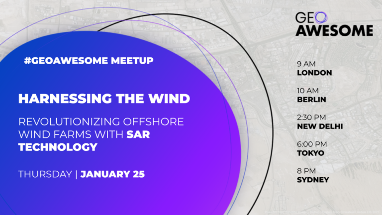
Harnessing the Wind: Revolutionizing Offshore Energy with SAR Technology
Join us for a GeoawesomeMeetup, where we'll dive into the transformative role of Synthetic Aperture Radar (SAR) in offshore wind energy. Hear from Synspective alongside offshore wind farm professionals. Discover how SAR is tackling challenges in site selection, wind pattern analysis, and project planning, leading to more informed decisions, cost savings, and efficient operations. Don't miss this opportunity to explore SAR's impact on the future of renewable energy!
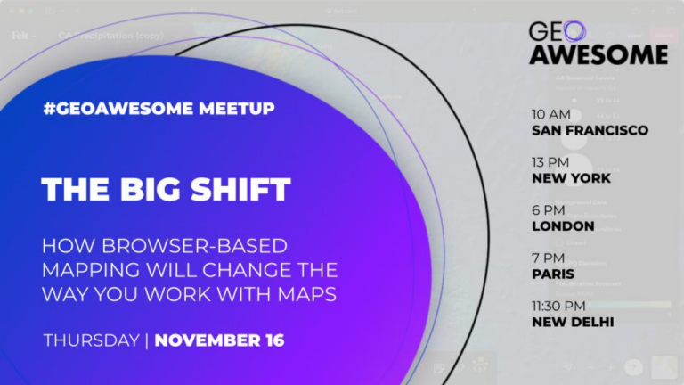
The Big Shift: How browser-based mapping will change the way you work with
Our world changes at a rapid pace. No one is more aware of this than professionals who work with maps on a daily basis. And yet the tools we use to examine, explore, and analyze spatial problems haven’t kept up with our rapidly changing world.
Documents, spreadsheets, images and more have all moved to the web where teams can provide feedback, edit and share seamlessly. This big shift to the browser has unlocked more productivity than anyone could have imagined, and now Felt is bringing that potential for teams whose everyday workflows rely on maps.
Join Felt Designer Loren Baxter, to understand how Felt’s designed the first internet-native mapping tool and why it’s about to transform the way you work with maps.
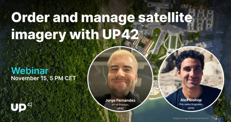
Order and manage satellite data with UP42
Join UP42 for a product-focused webinar, led by VP of Product Jorge Fernandez and Pre-Sales Engineer Alex Bishop. They'll walk you through a real-life project, showcasing the experience of placing orders on the platform, tasking satellites with minimal emails, and accessing UP42 data directly through an ArcGIS Pro account. You'll be able to interact with the speakers throughout the webinar, and the session will be followed by a live Q&A.
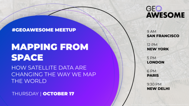
Mapping from Space. How satellite data is changing the way we map the world?
Dive into the transformative realm of satellite-based mapping in our upcoming geospatial community meetup. As very high-resolution satellite data becomes increasingly accessible, it's reshaping traditional mapping methodologies and practices. Our esteemed lineup of guests will share some of the most exciting use cases, highlighting how satellite data has revolutionized their work. Whether you're an experienced geospatial professional or just a mapping enthusiast, this session offers a fresh look into the evolving landscape of geospatial analysis and remote sensing. Discover how experts leverage the unparalleled clarity from above to craft detailed and accurate maps that redefine our understanding of the world.
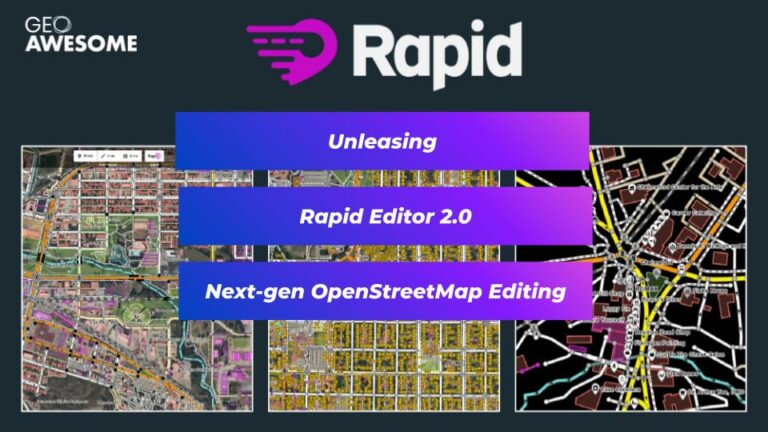
Unleashing Rapid Editor 2.0: A Deep Dive into Next-Gen OpenStreetMap Editing
Join us in this enlightening session where we will delve into the vast possibilities of the new Rapid Editor 2.0 for OpenStreetMap. Keynote speakers from Meta, Humanitarian OpenStreetMap, and leading industry experts will share their insights, offer live demonstrations, and discuss potential applications in various fields. Don't miss this opportunity to engage, learn, and contribute to the conversation around this exciting tool, shaping the future of digital mapping.
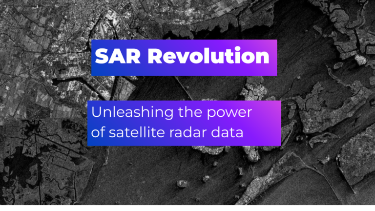
SAR Revolution: Unleashing the power of satellite radar across use cases
Dive into the fascinating world of SAR technology. This digital meetup brings together the expertise of industry experts to explore the latest advancements in Synthetic Aperture Radar (SAR) satellite data and its increasingly significant role in business applications. Witness informative presentations showcasing real-life use cases, followed by an engaging panel discussion, where attendees will have the opportunity to gain insights and exchange ideas. As SAR data continues to reshape industries, enterprises that have mastered its effective use are attaining a competitive edge in the market. Don't miss this opportunity to learn from the best, expand your knowledge, and embrace the future of satellite radar data in mainstream applications.
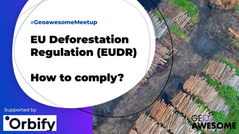
EU Deforestation Regulation (EUDR) – How to comply?
How Traders and Operators can get ahead with the Due Diligence (DD) requirements & adopt Earth Intelligence practices for deforestation free products.
Search