The Latest from Aleksander
#0.30m
#Airbus
#Construction
#Drones
#Environment
#Featured
#Maxar
#Optical
#Science
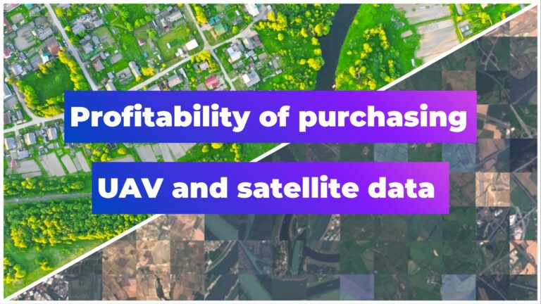
Bridging the Gap: How Buying Satellite and Drone Data is Evolving

AWESOME
5
#< 0.10m
#10m
#1m
#Agriculture
#Construction
#Drones
#Environment
#Environmental Protection
#Featured
#Multispectral
#Optical
#SAR
#Science
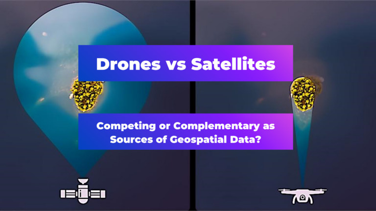
Are Drones and Satellites Competing or Complementary as Sources of Geospatial Data?

AWESOME
8
#0.30m
#Business
#Construction
#Drones
#Featured
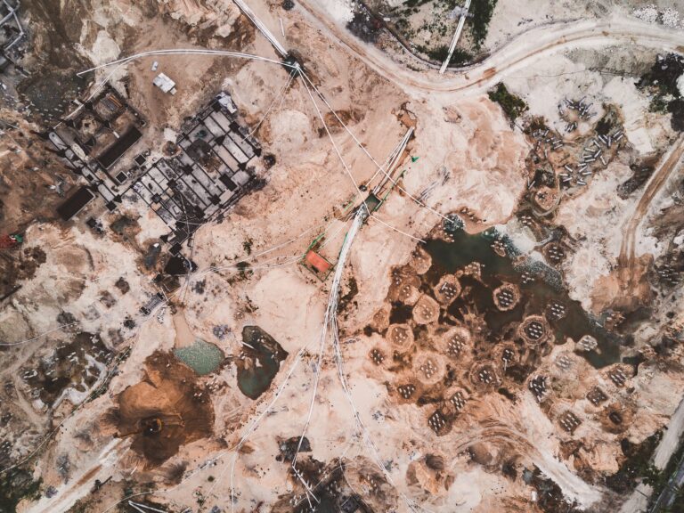
What Construction KPIs Can Be Measured Using Satellite and Drone Data?

AWESOME
4

#Business
#Construction
#Featured
#Financial Services
#Satellite tasking
How can satellite data add value for different construction stakeholders?

AWESOME
5
#Business
#Construction
#Drones
#Drones
#Featured
#Satellite tasking
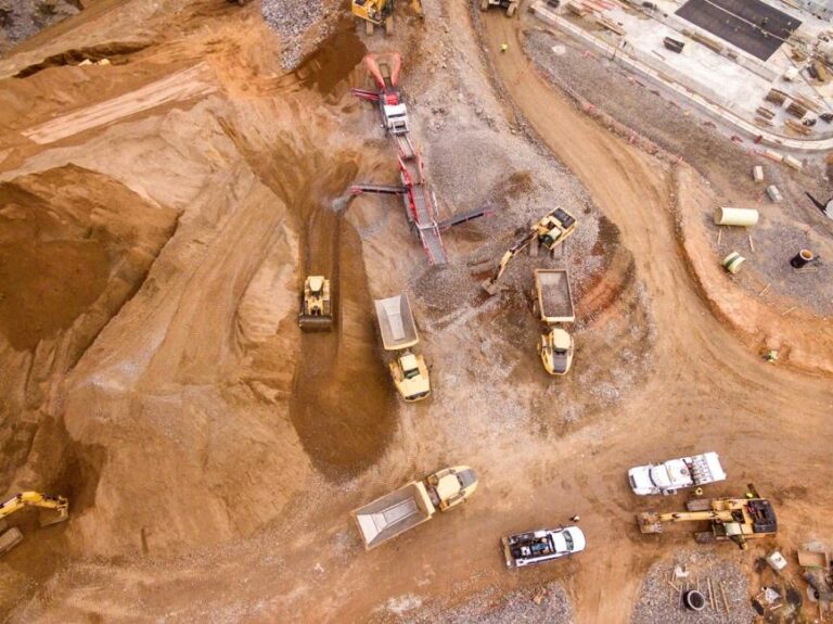
Exploring the role of satellite and drone data in construction progress monitoring

AWESOME
5
#Business
#Featured
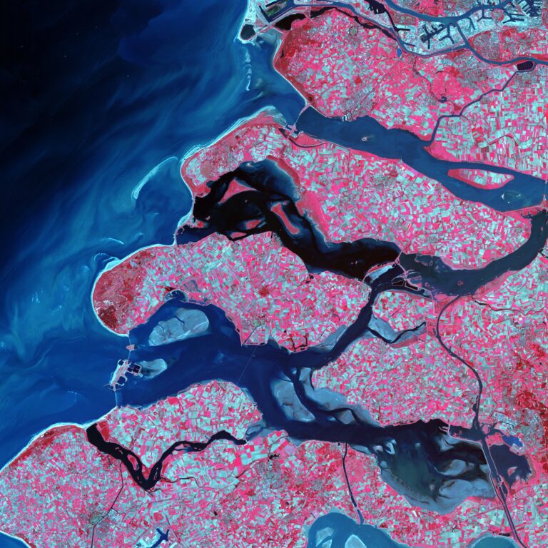
Demystifying satellite data pricing: A comprehensive guide

AWESOME
6
#Environment
#Featured
#Science
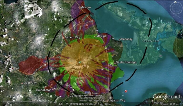
Revolutionizing disaster response with very high–resolution satellite data tasking

AWESOME
2
#Environment
#Featured
#Science
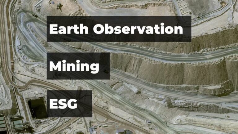
How Mining Companies are using Satellite Data for ESG and Operational Efficiency

AWESOME
5
#Business
#Featured
#Ideas
#Science
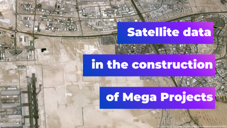
Harnessing the Power of 30cm Satellite Data for Construction Mega Projects

AWESOME
4
