
We are thrilled to announce the release of the first Earth Observation Hub Report: 2024 industry trends and analysis, created based on the result of a comprehensive survey analysis conducted in the final quarter of 2023.
2024 is shaping up to be a watershed year for the industry, given the number of planned EO satellite launches. and expected industry adoption. This report navigates the intersection of technological innovation and environmental stewardship, showcasing how professionals use EO data to meet the challenges of our time
- 77% of respondents use a combination of open and commercial data in their work
- 20% of respondents said that data availability was the biggest industry challenge faced by their organization
- The highest primary use case among respondents was decision-making support (26%) followed by solutions development (25%)
We invite professionals and enthusiasts alike to explore the full report, which offers a detailed analysis and a comprehensive understanding of the EO landscape and its future trajectory. This document is not just a report but we hope that it provides us all a roadmap for navigating the complexities and unlocking the potential of Earth observation technologies.
Download the report for free
You can download the report for free. We hope you enjoy reading it and benefit from the insights we gathered from our community. Together, let’s shape the future of our planet with informed, strategic, and innovative use of Earth observation data.
Your feedback is important to us
We highly value the perspectives and insights of our community and are dedicated to making our future surveys as relevant and informative as possible. We invite you to share your thoughts, experiences, and suggestions with us. Your feedback will be instrumental in shaping the content and focus of our upcoming surveys, ensuring they better meet your needs and address the evolving trends in our industry. Please reach out with your ideas and contributions, and let’s collaboratively craft surveys that reflect our community’s diverse interests and requirements.
You can reach us at info@geoawesomeness.com
About Earth Observation Hub
The Earth Observation Hub, powered by UP42 and Geoawesomeness, serves as a central repository for knowledge on satellite data and EO. The platform has published over 50 high-quality articles and fosters community engagement through various channels. This report builds on that foundation, offering an in-depth analysis of industry trends, challenges, and opportunities.


#Business


Next article

What day comes once every four years? February 29!
Which event pops up twice a year? The Geoawesomeness Munich Meetup!
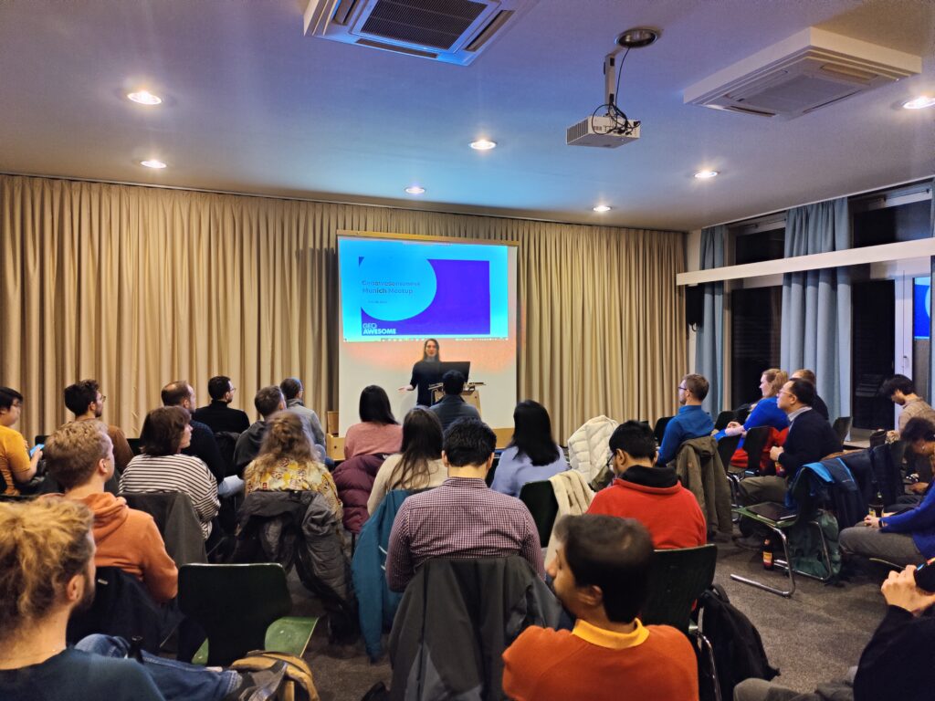
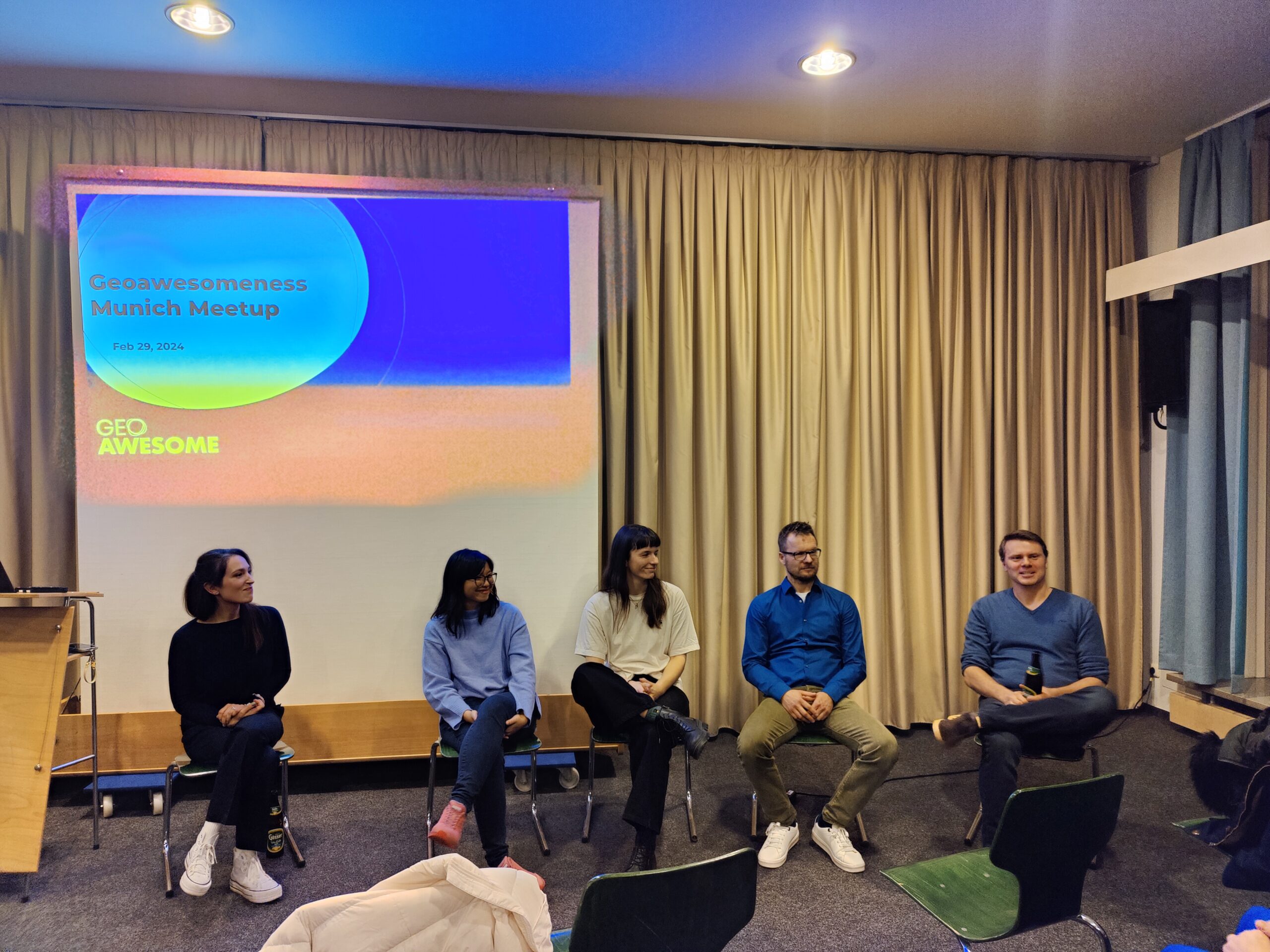
In 2024, The Geoawesomeness Munich community got together for their first meetup on that extra day, February 29. The event brought together around 65 passionate geospatial lovers, 18 cheesy pizzas, and 6 packs of cool drinks.
The evening kicked off with an introduction by our host Sara. We had a wonderful lineup of speakers, all gurus from the geospatial world, sharing knowledge and sparking conversations.
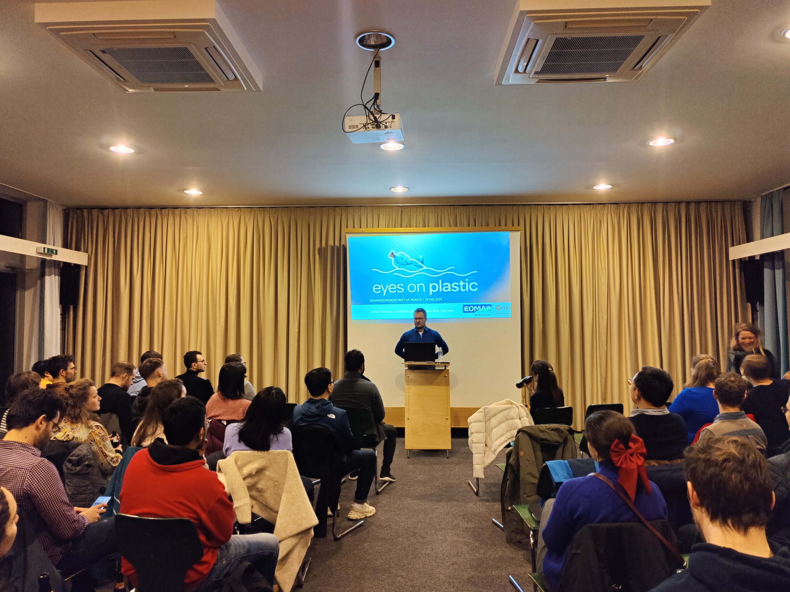
EOMAP: Can you find the plastic in satellite imagery? We can!
Our first speaker is Stefan Mühlbauer, Project & Product Manager at EOMAP. Stefan introduced the company EOMAP’s ambitions to revolutionize the detection and monitoring of plastic debris. The innovative initiative ‘Eyes on Plastic’ grabbed everyone’s attention immediately.
They’re using satellite data, artificial intelligence, and help from people everywhere to find where the plastic’s piling up, from rivers all the way to the sea. With their clever tools that blend satellite images and brainy algorithms, spotting plastic floating in the ocean is getting a whole lot clearer.
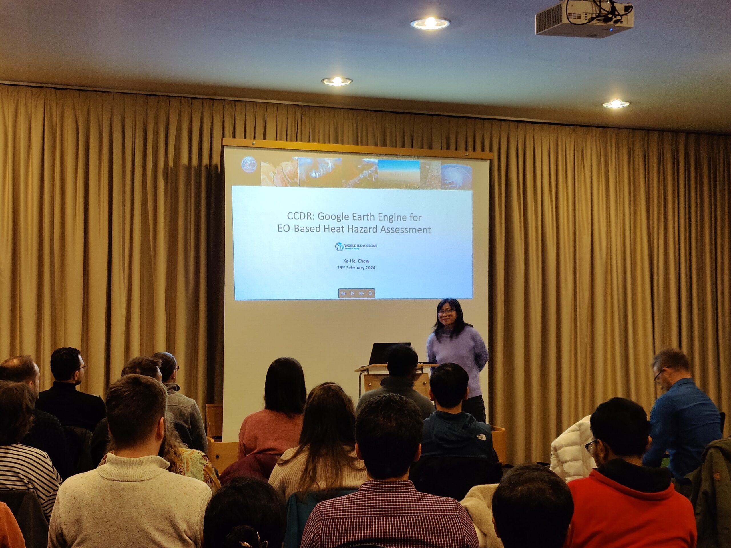
World Bank: User-friendly tools for heat hazard assessment
Ka-Hei Chow, the speaker from the World Bank, gave us a talk about the Google Earth Engine application in EO-Based Heat Hazard Assessment. She highlighted the Country Climate and Development Report (CCDR), which integrates climate risks into developmental planning. Ka-Hei emphasized the current challenges in data resolution and vulnerability analysis, pointing out the need for up-to-date, high-resolution data combined with demographic information to enhance the accuracy of hazard assessments.
The workshop also explored the development of user-friendly tools within the Google Earth Engine platform, which includes components such as a Data Download Tool, Data Analysis Tool, and Map Comparison Tool, to facilitate better decision-making and communication among non-technical users. These tools are designed to simplify the complexity of climate risk visualization, offering standardized, cloud-based solutions for district-level analysis, and enabling on-the-fly data processing for comprehensive project planning.
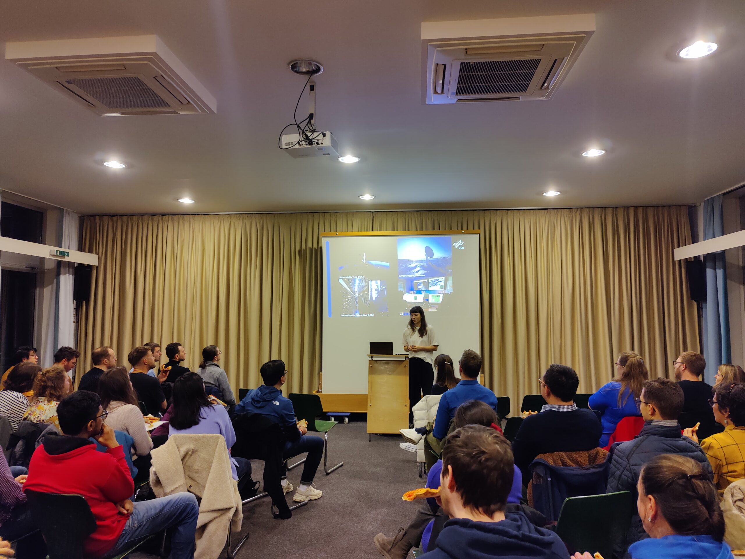
DLR ZKI: Here we are, before, during, and after the crisis
The presentation by Johanna Roll underscored ZKI’s extensive experience with over 700 activations, offering a window into their operations which span from preemptive crisis information to post-disaster analysis. ZKI, a branch of the German Aerospace Center (DLR), has developed a robust framework for utilizing remote sensing data, providing crucial insights before, during, and after crises. Celebrating two decades of pivotal contributions to crisis management, the Center for Satellite Based Crisis Information (ZKI) continues to be a beacon of innovation and support in times of need.
With advanced rapid mapping workflows and an improved system that incorporates 24/7 monitoring from various data sources, including social media, ZKI’s capabilities exemplify the fusion of technology and expertise. Their work in Germany’s flood assessment and the visualization of floodplains in Pakistan showcases their commitment to delivering precise and actionable information to governmental and civil bodies, strengthening resilience and aiding in efficient disaster response and recovery.
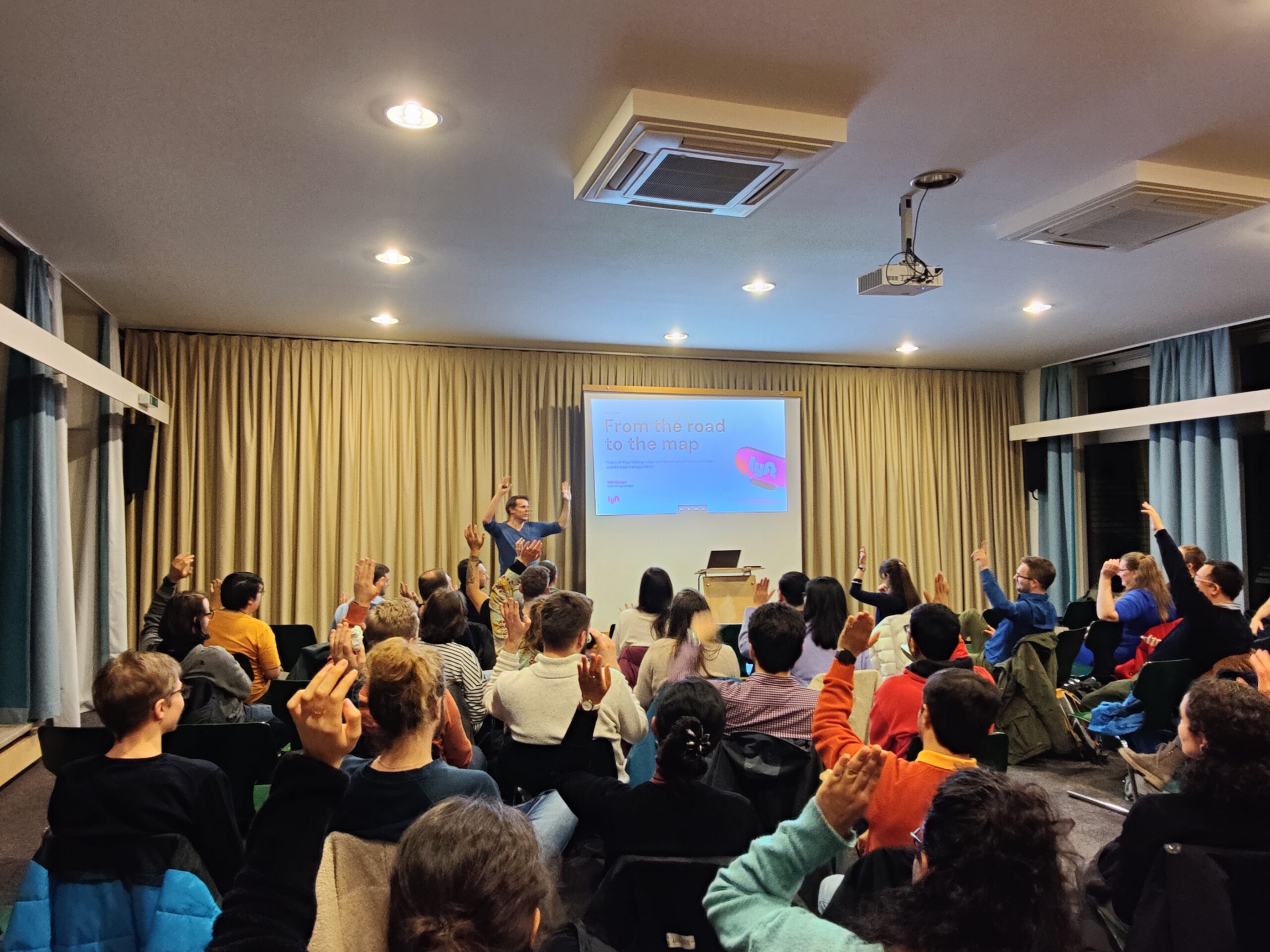
Lyft: How to deal with a new sign?
Another spotlight was on Willi Richert, the engineer manager from ride-sharing giant Lyft. Before sharing, he asked three questions about, whether everyone knows OSM. Not surprised, everyone knows it.
First, Willi introduced their three challenge: driver coming time, cost, and arrival time. These three challenges can only be solved by a sophisticated map.
Willi detailed the sophisticated process they employ to ensure accurate and reliable maps. He have us an exciting and easily understood case: How to update the map when there is a new no-go sign? Willi introduced how they do it in Lyft. This technological synergy aims not only to improve the ride-hailing experience but also to establish a robust framework for rapid response in times of crisis.
After the engaging panel discussion, audience eagerly bombarded the speakers with fascinating questions.
The meetup kicked off at 7pm and wrapped up at 9pm, followed by some socializing over drinks. Geoawesomeness meetups offer plenty of time for learning, networking, and sharing exciting project ideas.
A big thanks to UP42! To find out more about our supporter, visit https://up42.com.
We also want to give a shoutout to our amazing team members, Muthu and Aleks. Keep an eye out for updates on our next awesome get-together and join our lively Munich Geoawesomeness Community!
Until next time,
Your Munich Geoawesomeness Team
Abhi, Florian, Sara, Nianhua, Chris, and Karen