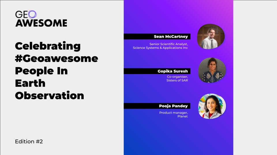

In this series, we’ll be highlighting #geoawesome people making significant contribution in one way or the other to the field of Earth Observation. Get ready to be inspired by their groundbreaking work, dedication to our planet, and the passion they bring to this ever-evolving field.
It’s all about networking and getting to know new people! Happy networking ?
Check out Edition #1 here.
Sean McCartney
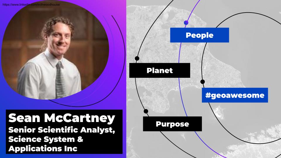
Sean McCartney is a Senior Scientific Analyst at NASA Goddard Space Flight Center, where he has worked for over eight years. He is currently supporting NASA’s Applied Remote Sensing Training (ARSET) program, which offers satellite remote sensing training to policymakers, NGOs, and other applied science professionals seeking to incorporate NASA Earth Science data into their workflow. Sean’s top skills include GIS, program management, and remote sensing. He is fluent in English and has limited working proficiency in French, Malagasy, and Spanish. He holds a certification in Geographic Information Science. Sean’s expertise lies in geospatial technologies combining remote sensing and GIS. He enjoys the challenges of scientific research, partner engagement, proposal writing, capacity building, and communications. Colleagues know him as passionate about his work, always interested in receiving feedback from others, and striving to innovate new ways of leveraging Earth observations to address environmental challenges at the local, national, and international levels. In addition to his work at NASA Goddard Space Flight Center, Sean has experience working overseas and has lived and traveled extensively on five of the seven continents.
Pooja Pandey
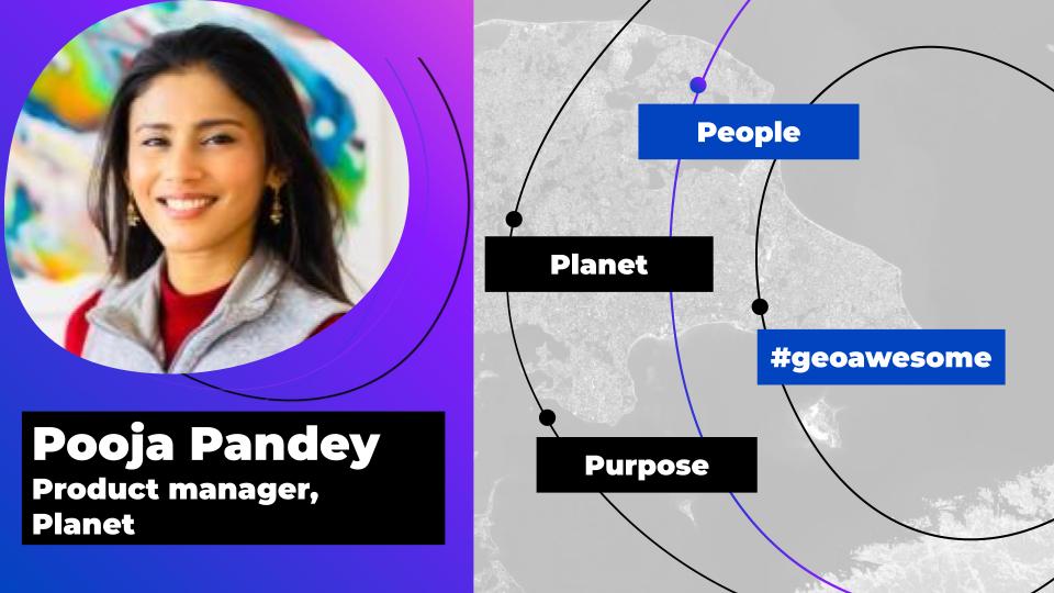
Pooja Pandey is an Earth Observation and Remote Sensing Specialist with expertise in Sustainability, Renewable Energy, and Oil/Gas. She has worked at Planet as a Product Manager for close to 6 years. Pooja has an international perspective and is fluent in four languages, having lived and worked in four different countries over three continents. She has experience working in culturally diverse teams and completed an internship in China working with German and Chinese colleagues. Additionally, Pooja has conducted research into different biogas technologies deployable in China as part of a team of four, which was presented to main stakeholders and is now being utilized by the company in expanding their biogas plant technologies. She has also worked as a Media & Communications Intern at IGEA – International Green Economy Association and as a Research Intern at The Linde Group.
Gopika Suresh
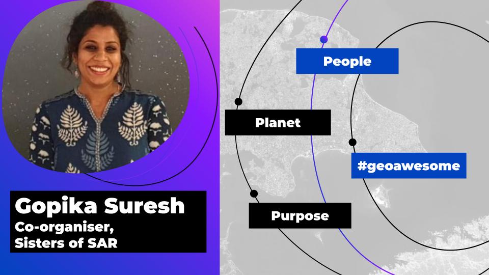
Dr. Gopika Suresh is a Synthetic Aperture Radar (SAR) scientist. She is a co-organizer at SistersofSAR and was recognized as one of Geospatial World’s 50 Rising Stars in 2021. Dr. Suresh has extensive experience in SAR-based land use and land cover change detection, coastline monitoring from SAR, natural hazards mapping using SAR and InSAR, oil slicks & offshore seep detection using SAR, InSAR, PolSAR EO4SDGs, Python programming, and GIS.
Gopika completed her PhD in marine geosciences from the University of Bremen in Germany where she designed and implemented the first system that automatically estimates the locations of offshore oil seeps from SAR data called ASLE- Automatic Seep Location Estimator. Her dissertation title was “Offshore oil seepage visible from space: A Synthetic Aperture Radar (SAR) based automatic detection, mapping and quantification system.” She has also authored several publications related to SAR-based classifiers for land applications in Germany and automatic estimation of oil seep locations in synthetic aperture radar images. Currently, Gopika works as a Senior Remote Sensing Expert at UNIQUE forestry and land use GmbH in Freiburg, Baden-Württemberg, Germany. Prior to this role, she worked as a Research Scientist at Bundesamt für Kartographie und Geodäsie in Frankfurt for one year and five months. She also served as a Postdoctoral Researcher at Earth Observatory of Singapore at Nanyang Technological University where she conducted research on natural hazards mapping using SAR and InSAR.
EO Monthly Gazette
Interested in staying informed about the latest news and development in the world of earth observation? Sign up to our new monthly focused newsletter for the EO industry.


#People


Next article
In this new series, we’ll be highlighting #geoawesome people making significant contribution in one way or the other to the field of Earth Observation. Get ready to be inspired by their groundbreaking work, dedication to our planet, and the passion they bring to this ever-evolving field.
It’s all about networking and getting to know new people! Happy networking 🙂
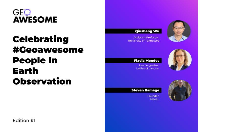
Steven Ramage
Steven is a seasoned professional in the geospatial industry, boasting an extensive career working with prestigious organizations such as Ordnance Survey, Open Geospatial Consortium, and the Group on Earth Observation. Drawing on his wealth of experience and expertise, Steven recently established his own consultancy firm, Réseau. This innovative company harnesses the power of geospatial science and technology to shape policies and drive initiatives aimed at protecting our natural environment and alleviating the impacts of climate change.
Dr. Flavia Mendes
Flavia serves as the Program Manager for Forest and Land Use at Planet. She has dedicated over 15 years to spearheading projects and products in both private and public sectors. Her extensive experience encompasses the use of optical and SAR imagery for land use mapping, monitoring, and modeling. With a deep-rooted expertise in forest conservation (REDD+), agriculture, and land use change in tropical forests, Flavia has made a significant impact in the field. In addition, she is a driving force behind the diversity initiative Ladies of Landsat, championing inclusivity and representation within the geospatial community.
Dr. Qiusheng Wu
Qiusheng serves as an Assistant Professor in the Department of Geography at the University of Tennessee, Knoxville. His research is primarily focused on Geographic Information Science (GIS), remote sensing, and environmental modeling. He is particularly enthusiastic about leveraging geospatial big data, machine learning, and cloud computing platforms like Google Earth Engine and Amazon Web Services to investigate global environmental changes, specifically in relation to wetland and surface water dynamics. A fervent supporter of open-source software and reproducible research, Qiusheng has created and maintained a variety of open-source packages for cutting-edge geospatial analysis. For more information about his research, visit https://wetlands.io.
EO Monthly Gazette
Interested in staying informed about the latest news and development in the world of earth observation? Sign up to our new monthly focused newsletter for the EO industry.