
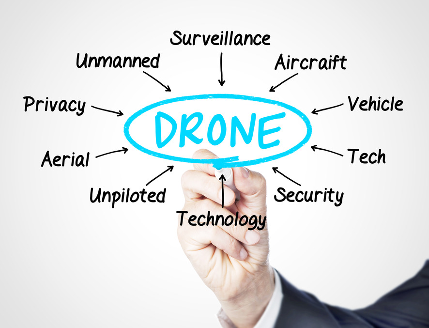
Thousands of flight hours and a few years in, we’ve found ourselves at the center of one of the fastest growing billion-dollar industries. Drone technology, once a solution designed for military reconnaissance, has started hovering around the agriculture industry, and creating solutions for a healthy ecosystem of other commercial markets.
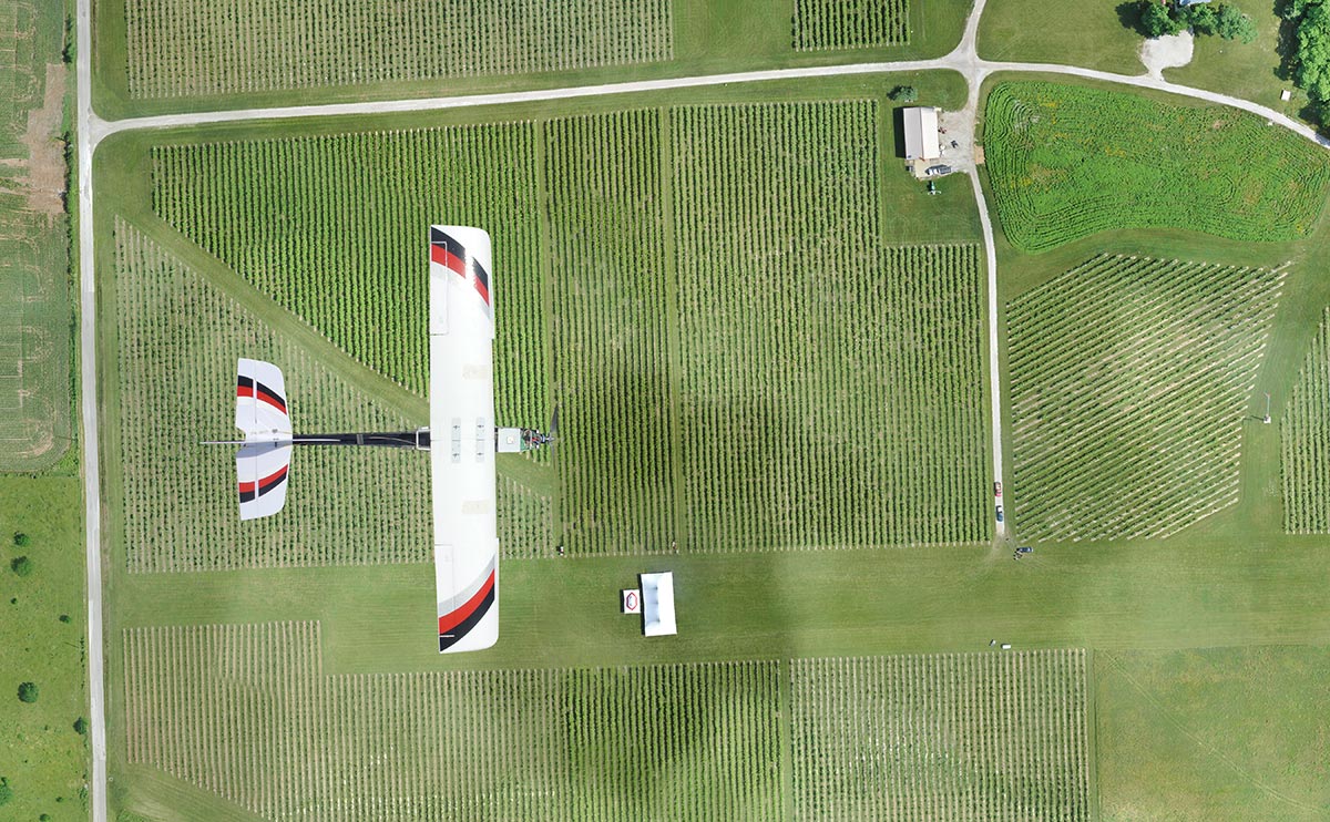
Much has changed since PrecisionHawk launched its first unmanned aerial vehicle (UAV) platform over five years ago. The early model—a four-pound, fixed-wing plane dressed up like a hawk—was used to scare pesky birds away from vineyards. However, we soon learned that viticulture was just a small subset of a data-hungry agriculture market that was embracing the precision agriculture movement.
The power of more information could revolutionize the entire agricultural industry, and commercial use of these tools is on the right path as the FAA draws closer to opening the U.S airspace. But the drone itself is just the first part of the pipeline. While there has been talk about smart farming for many years, growers have often viewed integration as a cumbersome and complicated process. UAV hardware simplifies this process substantially by eliminating unnecessary steps in the field, but the right software and analysis tools are essential for the next steps in farm management.
IMPETUS
Innovation comes from the need to address an existing problem or process that has proven to be inefficient over time. The same applies to agriculture and the integration of drones and data. At this point, traditional methods have not only resulted in a decrease in productivity, but have also contributed to major environmental issues such as drought, resulting from inefficient water use and allocation. In the next 40 years, the world’s population is set to increase from seven billion people to more than nine billion. In order to meet this growing demand, agricultural producers will have to increase food production by 70 to 100 percent. This all needs to happen in a world with increasingly unpredictable weather patterns, ever-rising farm input costs, and limited land to grow on.
In response to this need to produce more with less, farmers have learned that by collecting data in their fields, they could potentially decrease inputs and increase outputs.
Historically, aerial surveying methods, such as satellites or manned aviation, have been used to collect on-farm data, but those technologies are often attached to high costs, untimeliness, and poor ground resolution. By adding drones to their arsenal of farm equipment—as seamlessly as one would introduce a new tractor to the farm—farmers can collect real-time data at high-definition ground resolutions and cut costs in the process.
COMMERCIAL MARKET
According to the Association for Unmanned Vehicle Systems (AUVSI), the UAV market is estimated at $11 billion, and is expected to grow to $140 billion over the next 10 years. As UAV operations shift to the commercial market, speaking from experience, agriculture seems to be taking the lead and agriculture is expected to capture approximately 80% of the known market. Of course that’s not to say that other industries are not cognizant of the recent advancements and wide array of impactful use cases that drones bring to the table. In the last 18 months, we’ve seen interest from other billion dollar sectors such as insurance, utilities, emergency response, mining, and life sciences.
With the FAA seeking to build the most competitive regulatory environment for drones, it clearly doesn’t take much to postulate that UAVs will inevitably become a viable business tool in the future.
In the same regard, precision agriculture is the future of farming. We envision UAVs to become as commonplace as cellphones have in recent years, but realize that in order for growers to fully adopt this technology, they need a reliable hardware and software system that delivers actionable insights.
We expect a steady increase of demand for solution-based technologies that are focused on core agricultural practices. Precision agriculture professionals with deep knowledge in this field will have an advantage when it comes to developing tools and algorithms that can turn data into usable information.
DRONE TECHNOLOGY RUNDOWN
Many people are unfamiliar with some of the technology basics of drones today. Here’s your primer.

source: MrDrone.net
Choosing a UAV
In terms of maneuverability, UAVs are either autonomous (programmed with an extremely high level of artificial intelligence on-board, allowing them to operate completely autonomously) or radio-controlled (as seen in many hobbyist platforms in the market). In theory, both types have the ability to collect data, but the key differentiator is the onboard intelligence, which ensures the user is collecting a quality of data that they can make decisions on. Autonomous UAVs, equipped with on-board flight diagnostic software, are able to detect and adjust to highly volatile elements such as weather and wind speed. By eliminating the human touch point, autonomous UAVs operate with a much lesser degree of error.
On the other side of the spectrum, UAVs are also classified according to their wing configuration—with rotary and fixed-wing being the most widely used. Fixed-wing drones assume the usual airplane design and fly a preprogrammed flight path. Rotary types, with their multi-component propeller system, have the ability to move in several directions—a feature that is essential in unique applications involving more pointed inspections. However to address the need for consistent data sets, as with the case of big business, fixed-wing UAVs have proven to be a much better fit.
Remote sensing
It is a common misconception that more data equates to more information. In truth, actionable information can be attributed to a few elements such as data quality, back-end analysis efficiency and more importantly, sensor choice.
Picking the right sensor for each application is like activating human sensory receptors. Are we able to determine if a surface is rough by smelling it? We can try, but certainly not. Our decisions are shaped by what we are able to sense, and because sensation is the foundation of cognition, picking the most appropriate sensor suite for a certain application is no different.
In these early days, visual and multispectral sensors are seeing the most traction in terms of use cases, across a network of major industries. This increased interest has sparked the development of more options than ever before.
Currently UAV operators are being sold an NDVI collected using a visual a multispectral sensor to look at qualitative data. This is essentially useless in making a quantitative decision, which leads nicely into the importance of information processing and GIS/analysis. Each part of the pipeline needs to fit together in order to provide value to a user. If you can have all of those pieces in one platform, it eliminated confusion and increases efficiency.
Information delivery
Corporations and small businesses are progressively joining us in assuming this data-first mentality. In the last year as we began to break ground in international markets, we noticed a steady uptake of clients who are primarily looking for highly efficient solutions that solve specific problems such as anomaly detection or disease identification. At the end of the day, aerial images don’t mean much if they don’t deliver insights—like measuring crop health and indicating problem areas—that directly contribute to a business’s strategy, operations, and planning.
The challenge we face most often is communicating to customers that the system will work with a farm’s operational flow. This platform is much more valuable than just pictures stored on a memory card—it provides applicable information right away. Educating and highlighting this fact to users is key. You don’t need to be a pilot or aerospace engineer to use this technology. This system is designed to be accessible.


#Business


Next article

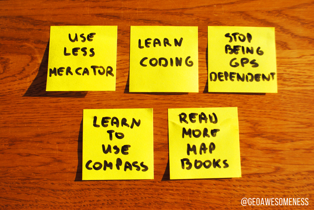
New Year’s Eve has always been a time for looking back to the past, and more importantly, forward to the coming year. It’s a time to reflect on who we are and where we want to be. Most of people will make a New Year’s resolution – maybe to lose weight, quit smoking or drink less. But GeoGeeks are not ordinary people and our resolutions are a bit different… Here is my list:
1. USE LESS MERCATOR PROJECTION
As we all know Mercator projection is not the best way to represent the surface of the Earth for everything besides marine navigation. Nevertheless most people use it for small scale maps of the whole world. Our role as GeoGeeks is to bring enlightenment to ordinary people… I want to start from myself and stop using Mercator projection out of pure laziness.
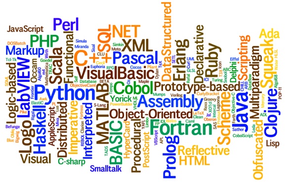
2. LEARN HOW TO CODE
Imagine all these amazing maps you could do in CartoDB or Mapbox if you could code even a little bit. Every year the same resolution but in 2016 it must became a truth. Which language? I’m still not sure but this overview might be helpful to make this choice.
3. QUIT YOUR GPS ADDICTION
Location-based apps are great but using GPS to find your way too often decreases your spatial orientation abilities. My goal for 2016 is to use less navigation, memorize my routes and minimise my GPS dependency.
4. LEARN HOW TO USE COMPASS
If there is one thing that everything GeoGeek should be good at, it’s using a compass. There was never a good time to do that but in 2016 I want to master it.
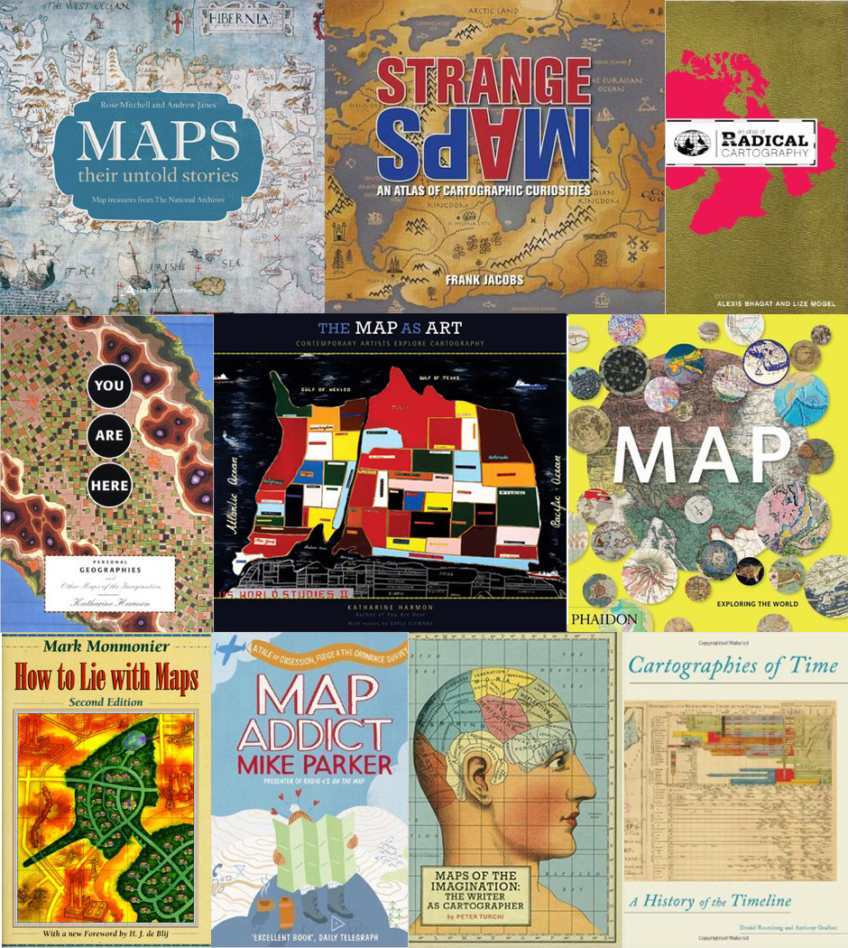
5. READ THAT BOOK
So many map-related books on my shelf but no time to read it. My goal for 2016 is to read this ten map books you see below in ten months.
What are your New Year’s resolutions?