
Cartography is all about small details that make a huge impact on the visualisation. When looking at map design of the companies like Google, HERE or TomTom you can clearly see the differences but it’s hard to indicate what would you change to make it look better. Nowadays cartography of mature navigation providers is all about tiny changes to the font size, playing with shades, and icons or adding one pixel to the road width. It’s also about showing relevant content and seamless generalisation.
Today Google announced a series of small design changes that will significantly improve your map experience.
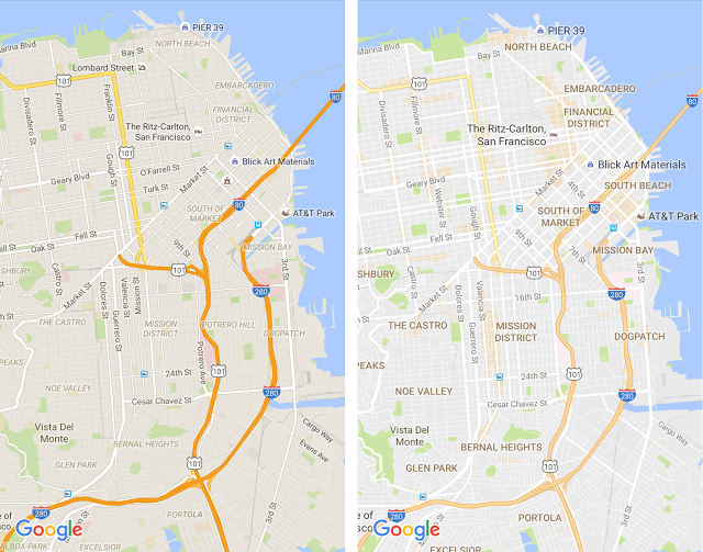
On the left you can see the old design and on right the new one. The first thing you’ll notice is that the new, subtle colour palette is a little bit brighter, making it easier to read the text. The new colour scheme makes it also easier to differentiate between man-made or natural features, and quickly identify places like hospitals, schools or highways. The design got cleaned also by removing unnecessary elements like road outlines.
Another thing that you’ll notice is improved typography of street names, points of interest, transit stations, and other to make them more distinguishable from different things on the map. It also makes it look consistent as the district names are finally not in an italic font. The fonts are bigger and therefore more readable.
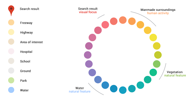
Google Maps Color Palette
The changes are really small but at the end we get a significant improvement. The design is cleaner and more user-friendly.

#Business


Next article
DJI, Chinese drone giant, has added a new data layer to its system. All pilots in the US will be now alerted about wildfires and DJI’s geofencing system will prohibit them from entering fire risk areas.
The real-time data stream will come from AirMap, an app that supplies drone pilots with information about airspace restrictions from the US Department of Interior’s incident command system.
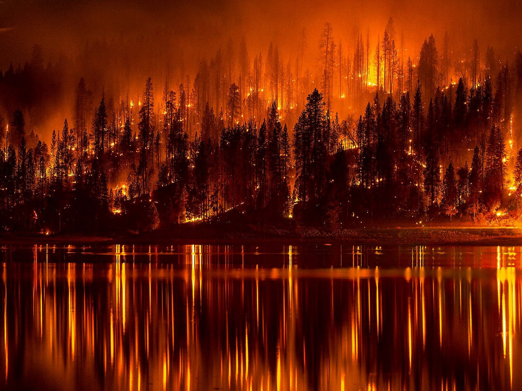
Wildfires might look beautify from the sky, unfortunately there have been several incidents when firefighters in California had to ground their helicopters as drones were flying too close to the fire. In 2015 the local government of California offered a $75,000 reward to catch the drone pilots who interfered with firefighters actions.
Drone safety is one of the key industry areas of interest. There are several layers of these efforts. On one hand regulators are trying to define safety rules and educate millions of pilots to behave responsibly. On the other side there are data suppliers like AirMap or hardware and software providers like PrecisionHawk’s LATAS which are trying different approaches to keep our airspace safe.
All these efforts are just the beginning of the journey but they are a must considering the number of new drones in the skies each month.