Key takeaways from Geo for Good 2022 – geo product updates, impacts, and diversity and inclusion
Professor Iain H Woodhouse, Knowledge and Outreach Lead at Earth Blox, shares updates from Google’s annual event for the changemakers making a positive impact in the world.
Every year, at the Geo for Good Summit, Google brings together nonprofits, scientists and other changemakers who want to leverage their technology and mapping tools such as Google Earth, Earth Engine, Environmental Insights Explorer, and My Maps for positive social and environmental projects. The event has been running since 2011, and for the last two years, was held online due to the pandemic. This year, the event was a hybrid, with some 300 delegates coming together in-person in Mountain View, California and over 2,000 joining in online from around the world.
Geo for Good combines plenary sessions, workshops, demo stations and panel discussions delivered by a wide range of experts from Google and the community. So what did we learn? Below are my key takeaways from the event.
Geo Product updates – what’s new in Google Earth, MyMaps, Earth Engine and Environmental Insights Explorer
The latest update from Google Earth included news about a forthcoming new UI that will support better data management and editing. And combined with new cross-platform interoperability, it is going to be even easier than ever to use GE in the field. This includes being able to easily upload photos and location, wherever you are.
MyMaps is Google’s lightweight mapping tool to make it easy to make maps, import Sheets data and share with others. It is now possible to sync between Sheets and Maps so they can be kept updated, and merging multiple datasets is now easier than ever.
And for Earth Engine (apart from the big news of the year about them moving to a commercial offering) the key updates were in the new data added to the catalogue. This includes data from the new Landsat 9 continuing the multi-decade Landsat dataset, additional data from the canopy laser scanner on the ISS, GEDI ( L4B 1km gridded biomass and L2A top height) and the new inclusion of the Dynamic World land classification layer. Dynamic World is updated with every Sentinel 2 image acquisition, and provides a % probability that a pixel lies within one of the 9 classes. Built in collaboration with WRI, this 10m resolution data layer can be used as a land cover classification layer “as is”, but it can also be used as an input layer to create new locally-specific land cover classifications. Incredibly powerful, and it will be amazing to see its full potential, especially when we include it within Earth Blox.
Finally, we also saw an introduction to the new Google Environmental Insights Explorer. This is designed to help city planners adapt to low carbon economies by tracking carbon emission inventories. It incorporates transport and building emissions (using Google Maps data) and calculates the total solar rooftop potential of buildings inside a city. They have now expanded the building coverage to 14,000 cities for as much as four years of historical data for some cities. The most recent addition (for some cities) is a tree canopy map for tracking urban trees.
Impacts
With the announcement earlier this year that Google is now offering commercial access for Earth Engine there was also a lot of interest in the session on “Sustainability Impacts: A Commercial Perspective” where Brian Sullivan and Jen Bennett described how Earth Engine and Google Cloud Platform are coming together to achieve sustainability impacts. Google-wide, they have ambitious targets for the company to go “beyond carbon neutral” and to support their partners (companies, non-profits, researchers, policymakers, etc) to scale up climate solutions. They see Earth Engine as one of these scalable solutions, with huge impacts on protecting the world’s forests by working with WRI on Global Forest Watch, and with Unilever on helping create deforestation-free supply chains.
Earth Engine for Non-Coders
Making geo technologies accessible is critical to accelerating and scaling solutions in the fight against climate change. At Earth Blox, our mission is to increase access to big Earth data to accelerate the transition to a much more sustainable, equitable and inclusive world. We do this today through a no-code interface to Google Earth Engine and so understanding the beginner’s journey is really important to us.
In the Earth Engine for Non-Coders session Earth Blox CEO, Dr Genevieve Patenaude, joined Google’s Karin Tuxen-Bettman to show beginners how they could work with Earth Engine without having to know how to code in JavaScript or Python. We got some great feedback from potential users as well as a long list of registrations to our early access program launching in the new year (you can sign up here – use the code Geoawesome22).
Projects making an impact
The Community Talks at Geo for Good are a highlight as this is where we get to see the real world applications of the technology and the problems it is solving. Perhaps two of the most inspirational projects were Navajo Nation drought monitor and the search for the Andean Cat.
Dr. Rocio Palacios, from the Andean Cat Alliance, explained how the Andean Cat has been an elusive species, only being tracked down as recently as 20 years ago. It is a small cat, not much bigger than a domestic cat, but has an important role in Andean folklore and is sacred amongst indigenous groups of the area. But it is at risk, with only 1,400 adult Andean Cats known to be alive across four countries: Peru, Bolivia, Chile, and Argentina. With such a low population density, it is a hard species to study, but with the help of Google Earth Pro, Dr Palacios and her team have managed to evaluate the cat’s ecosystem and set camera traps that have allowed them to create the first ever comprehensive population assessment map. The accessible nature of Google Earth has ensured that the process has brought together a range of stakeholders, including isolated communities, so that instead of being invisible, the Andean Cat is now “in everyone’s mind”.
Working with the Navajo Nation, Nikki Tulley, from BAERI/NASA Ames Research, has been developing the Drought Severity Evaluation Tool, an Earth Engine app that monitors drought conditions in the Navajo Nation. It allows easy access to analyse and visualise the data, and creates on-the-fly maps and time series graphs for users from non-technical backgrounds. A key message of this project was about recognising the sovereignty of indigenous nations. Often when using satellite data it is easy to forget that there are histories, traditions and beliefs that need to be recognised and included through consultation and engagement with the people who are connected to the landscape being observed from space.
Diversity and inclusion
A key plenary session was the panel on An Inclusive Future for the Geo for Good Community, which asked the question what does an inclusive future mean to you, and what actions can we take as individuals and as a community to make it a reality? Excellently introduced and moderated by Morgan Crowley (Ladies of Landsat) and Sabrina Szeto (Women+ in Geospatial) the session panel provided a strong collective message in support of diversity and inclusion in the geospatial industry. Our own Genevieve Patenaude was also one of the panel members, and those of you who saw her heartfelt presentation at the Living Planet Symposium earlier this year will know she’s a passionate advocate for equality, diversity and inclusion in all things “geo”, and at the root of it all is simply being kind.
Ultimately, we loved attending Geo for Good 2022 because we were able to meet so many people in person that we’ve only met via Google Meet or social media. Earth Blox is a people-centric company, so conversations with speakers and Google staff over a coffee or lunch is always inspiring. The great thing about Geo for Good is that you can meet the people that make the tools, and if you don’t meet them at break times, you can find them camped out in little tents around the venue with bookable time-slots to sit and ask questions of the experts. Whether it’s how to wrangle some data on Earth Engine or importing GeoTIFFs into Google Earth, whatever your problem there is someone there to help. It really is a “festival of geo.” If you get the opportunity to attend in person, seize it. I promise you won’t regret it.
The Geo for Good Summit is available to watch on demand here.
We invite the Geoawesome community to register for free, early access to Earth Blox – use the code Geoawesome22.

#People


Next article
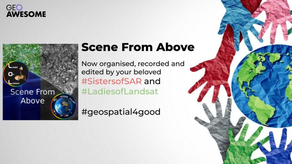

If you are in any way related to the Earth observation (EO) industry, chances are you have already heard about the popular Scene From Above (SFA, @eoscenefrom) podcast. Now for Season 13, we are delighted to announce an upgrade, if you will. Folks, we present to you SFA 2.0, now organised, recorded, and edited by your beloved Ladies of Landsat and Sisters of SAR. The new SFA is buit with a diversity, equity, and inclusion twist! You will now hear voices previously unheard and learn about the brilliant work being done by leading female EO Scientists!
With over 30K listens, the SFA podcast originally hosted by Alastair (@ajggeoger) and Andrew (@map_andrew) was more or less heard by everyone in the industry. If you wanted the latest scoop on the cool things in the world of EO, SFA was the place to get it. Due to their full-time jobs, Andrew and Alastair have finally decided to move on after 12 whole seasons of SFA. We are immensely grateful for their guidance for producing the podcast this season and their kind handover of their brainchild. 🙂
The Fabulous Ladies of Landsat
Ladies of Landsat (LoL) is a Twitter-based organisation founded in 2018, led by women in Landsat. LoL hopes to increase inclusivity in the field of remote sensing and EO, having buit a community of over 11K followers on Twitter and over 1K on LinkedIn! LoL does a hugely popular weekly Twitter series in addition to highlighting female-led research in remote sensing through #LoLManuscriptMondays. They also organise in-person and virtual networking events, conference symposiums, and more. LoL members tend to be application scientists making a difference using EO as their primary tool.
Sparked by a popular catchphrase to empower women at heavily male-dominated EO conferences, the Ladies of Landsat were born as Dr. Kate Fickas (@katefickas) and Dr. Meghan Halabisky (@mhalabisky1) cheered each other on, as the only women in attendance at an international conference. They were joined soon after by the fabulous Dr. Morgan Crowley (@morganahcrowley) and Dr. Flavia De Souza Mendes (@flasmendes), LoL slowly transformed into the organisation that today supports thousands of women in EO. Through direct connections, promoting successes, communicating their cutting-edge science, or tackling tough subjects such as DEI in the field, LoL has been a game-changer for many women in EO.
The Sensational Sisters of SAR
Inspired by the huge success of LoL and a similar lack of support in the synthetic aperture radar (SAR) community, we launched Sisters of SAR (SoS, @SistersOfSAR) on Twitter in 2020 and LinkedIn in 2022. Born through a conversation with Morgan of LoL, this idea of creating an inclusive SAR community came to Dr. Laura Dingle Robertson (@LDR1) and Sarah Banks (@SAR_ahBanks). Soone after Dr. Gopika Suresh (@Go__Pika) joined hands with them, and I, Dr. Antara Dasgupta (@ant_dasgupta) joined more recently. Led by a kick-ass team of multi-disciplinary scientists, we at SoS are working on increasing visibility of SAR and the women in SAR.
We as SoS host a highly in-demand weekly series on Twitter and LinkedIn, as well as a website where we maintain a list of #SAR_Stars. We promote diversity, equity, and inclusion for women across various career stages involved with SAR in any way as part of our weekly SAR Star series. Everyone from radar engineers to SAR application scientists, are equally welcome and lovingly supported by the SoS. We also organise networking events and host inclusive panels where the voices of women can (finally) be heard. The SoS dream is to make SAR accessible to everyone who wants to use it. Regardless of gender, career stage, access to resources, or geographical location, we welcome everyone! We are constantly working to ensure that the voices of women in SAR no longer go unheard or unnoticed!
Revamping the SFA Podcast
We all have full-time jobs, most of us have kids, and academic lives which require multiple unpaid additional responsibilities. Additionally, we have now also ventured into the podcast space. Indeed, when we decided to take this on, we asked ourselves, if we were awesome or just plain stupid! Honestly, the answer is maybe we are a bit of both. The truth is, though, that we must embody the change we expect to see in our world. You may say that we are dreamers, but as John Lennon said, we are not the only ones (thank god for that!). Our passion for diversity, equity, and inclusion in EO motivates us to persevere.
We would like to emphasise that we are not taking this on to kill our spare time. Moreover, this is a huge responsibility! Especially after SFA being a one stop shop for all things EO for so long, we are not taking this lightly! However, we know what our organisations mean to women in our field all over the world. Thus, despite everything already being crazy, we jumped at this opportunity to give them another avenue to get their motivation.
As you will learn through the episode, the problems faced by underrepresented scientists are specific, unique, unbelievable, and often heartbreaking. We hope that our efforts will help bring the silent struggles of our underrepresented colleagues and friends to the fore. It is only through understanding and acceptance, that we can support each other better and change things. Season 13 of Scene From Above (SFA) is our effort to shed some light on these hard issues.
Presenting the EO Scene from Above 2.0!
In this season, we worked hard to incorporate diversity in geography, sensors, application area, gender, and orientation. We aim to bring these often unheard voices to the forefront of the EO industry. We hope that our efforts will soon help eliminate all male and all white expert panels at conferences and events. While this is mostly out of convenience, this tells us that women cannot be experts. Let’s change that together, shall we?
There are NO excuses for leaving women behind anymore. Our own efforts and the lists we maintain of female EO experts debunk the “they don’t exist” argument. Our own version of SFA will now further highlight the wonderful work that women are already doing in our field. Hopefully this will invite more people to recognise the value of diversity, equity, and inclusion at our workplaces and in the EO industry.
So give it a listen, support us to support others, and give us feedback so that we can grow!