
Google Earth allows you to travel around the globe in a matter of a few clicks. Since 2013, when the new Timelapse feature has been introduced, it also lets you travel in time. The Timelapse allows you to preview not only the latest but also historical satellite imagery.
This week Google made the Timelapse even better. The company updated Google Earth with petabytes of historical data dating back to 1984. Although it’s not a significant update as it only adds images dating 4 years earlier than before, there are a lot of cool materials released together with the update.
Google created a lot of cool timelapses that illustrate in an amazing way various processes that change the shape of our planet. You can see how cities grow, how forests disappear, glaciers move… Take a look at the visualizations below:
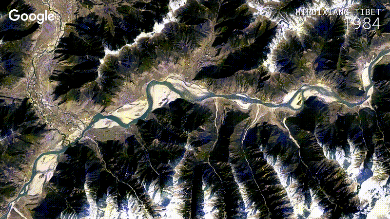
Google Earth Timelapse – Tibet, China
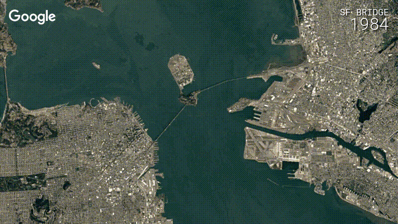
Google Earth Timelapse – San Francisco, Oakland Bay Bridge
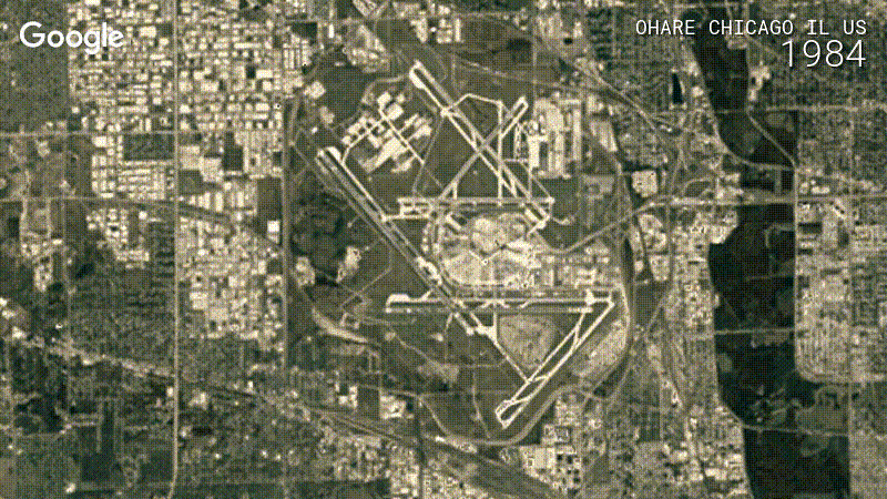
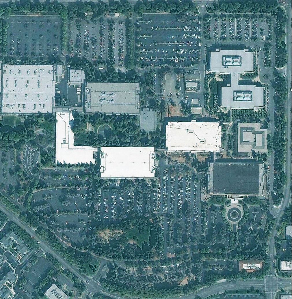
Google Earth Timelapse – Chicago, Ohare
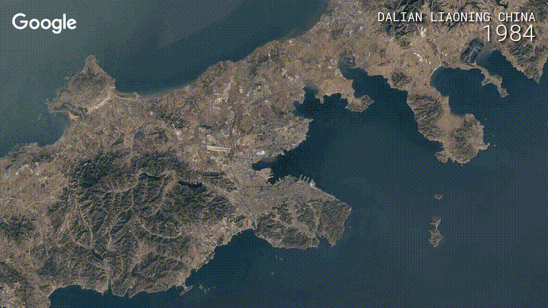
Dalian Liaoning, China
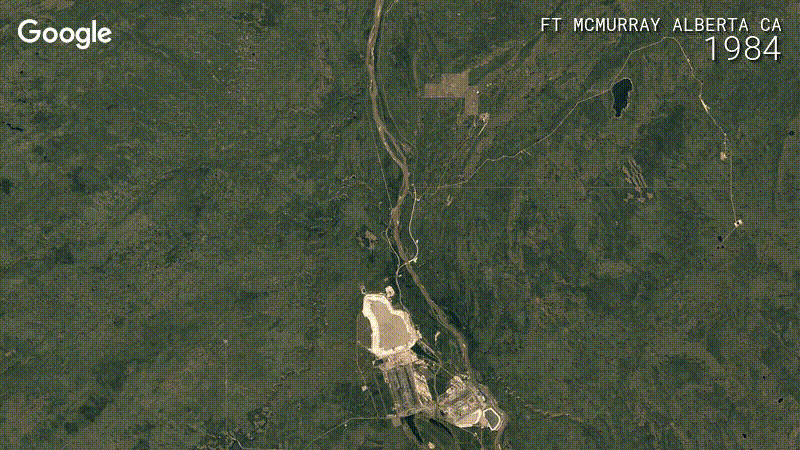
Ft. McMurray, Alberta, CA
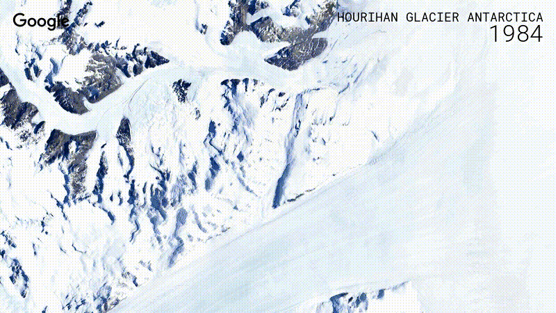
Hourihan Glacier, Antarctica
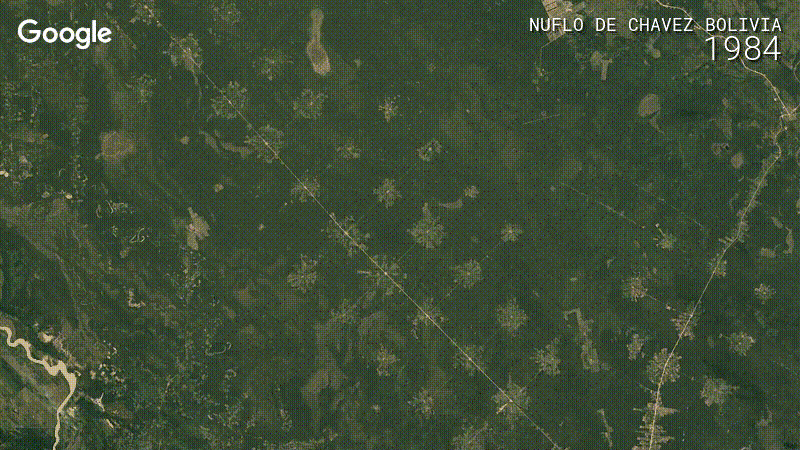
Nuflo de Chavez, Bolivia

Shirase Glacier, Antarctica
Amazing. In addition to Google Earth you can also view the images via the Google Earth Engine. Take a look at these examples: Oakland Bay Bridge in San Francisco or the movement of the Hourihan Glacier in Antarctica.
If this is not enough you can spend a mesmerizing 40 minutes watching this YouTube playlist.
Happy exploring!

#


Next article
First announced by Steve Jobs in 2006, Apple Campus 2 is slowly getting its final shape as the complex is supposed to be completed in early 2017. The campus located approximately one mile east of its current headquarters in Cupertino is often referred to as the last final project of Steve Jobs.
We looked at the Digital Globe images from Terra Server to visualize how the construction progressed over the years. The effect is a series of images from the past 13 years.
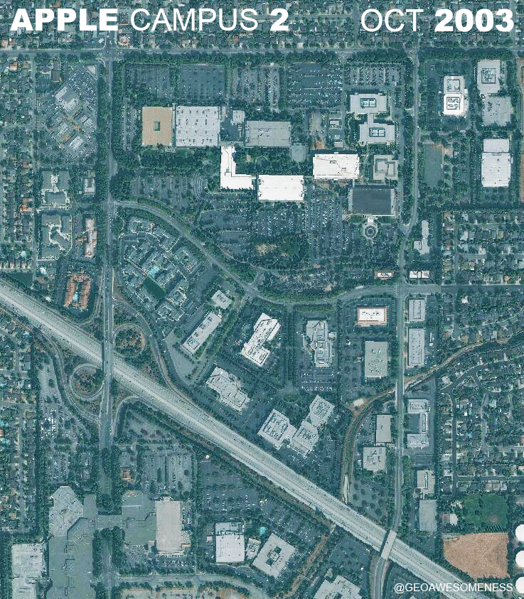
Apple Campus, visualization
The detailed view of the Spaceship building shows how it was build step by step from the scratch.
Visualization in larger scale
Drones are increasingly utilized for construction progress monitoring, offering real-time aerial footage and detailed site surveys, enhancing project management efficiency and accuracy. For more details check out this drone footage released earlier this week:
Archival satellite imagery may play a key role in visualizing land use change and monitoring construction activities over time. By providing historical data spanning years or decades, it offers valuable insights into urban expansion, infrastructure development, and environmental transformations. This comprehensive view aids in urban planning, environmental management, and assessing the impact of human activities on landscapes.
Did you like this article? Read more and subscribe to our monthly newsletter!