
We all have read and heard about the “big data” revolution, and how it has completely transformed the way industries operate today. And when we talk about big data, we cannot not talk about geospatial data. It is one of the most accessible, yet underappreciated forms of data with proven use cases across sectors, including public health, retail, governance, and business. For a long time, geospatial data required powerful infrastructure like ArcGIS. But today, R and its visualization libraries have made it possible to work with geospatial data with ease. And in the world of data science, this has started a new wave of innovation.
At SocialCops, our work involves helping companies create business advantages by converting messy data into intelligent insights. This includes data from varying sources including geospatial data. When we first started using massive geospatial data sources like Landsat 8 data and other open sources, it was overwhelming. But as our work with geospatial data expanded, we were able to unlock the mysteries of this form of data, and we wanted to help anyone else who wanted to work with geospatial data. To do this, we recently launched an online Introductory GIS course in R.
The course has been developed by our team of data scientists, economists and GIS experts to help anyone who works with R to get started with extracting, processing, analyzing, and mapping geospatial data in R.
Who should take this course?
This course is for anyone who has experience working with R, and is interested in expanding their skills to learn the latest R packages and start working with geospatial data.
Why should you take this course?
The course has been developed by leading GIS and data science experts, and it covers a complete introduction to extracting, processing, analyzing and mapping geospatial data in R. The course includes 100+ useful R code snippets, step-by-step demos using sample data, 50+ sample maps, and 80+ links to other free resources. This makes it a complete resource for anyone who is getting started with understanding geospatial data.
Hundreds of students and professionals from more than 30 countries across the world have enrolled in the course already, including people from leading organizations like Google, MIT, Gartner, Nielsen, Columbia University, HSBC, and IBM among others. It has also been recommended by professors of some of the leading universities as recommended course reading.
The text- and code-based course is free of cost! Anybody can enroll in this course for free, learn at their own pace, and get a completion certificate at the end from SocialCops Academy.
What will you learn?
The online course will help you learn everything from the basic “Hello World” geospatial code to in-depth analysis of satellite images with 6 in-depth lessons.
Lesson 1: Use Cases of Geospatial Data
This lesson covers the basics of geospatial data, and how it is used in public and and business areas across sectors for market segmentation, detection and fraud prevention, improvement of operations, and more.
Lesson 2: Manipulating Geospatial Data in R
The lessons starts with why you should use R as a GIS, followed by a comparison of two R packages for geospatial data, fundamental geospatial operations like storing geospatial & attribute data in a spatial dataframe.
Lesson 3: Creating Static Maps in R
The lesson introduces some well-known R packages like sf, tmap, and ggplot2 for creating static geospatial maps. It also covers visualizations like choropleth, inset, hexbin, faceted, cartogram, and dot density maps.
Lesson 4: Creating Animated & Interactive Maps in R
This lesson teaches how to build animated and maps of geospatial data using 7 different R packages — tmap, ggiraph, geogrid, geofacet, mapview, plotly, and leaflet. It also gives an overview of how to build geospatial interactive web applications with Shiny.
Lesson 5: Performing Spatial Subsetting in R
This lesson explains how to filter the regions in data based on their relation to other regions (such as a common border, distance from a certain point, intersection, and more).
Lesson 6: Exploring Raster Images in R
Raster data is a complex form of geospatial data captured by satellites. This lesson explains what raster images are, where to get them, how to extract and process them, and what basic operations and analysis you can do on them.
If you have any feedback, questions, or suggestions, feel free to write to us on academy@socialcops.com. Hope you enjoy taking the course and discovering more about geospatial data!


#GeoDev
Next article

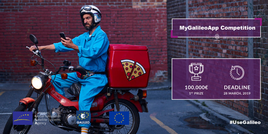
In the little over two years since it first became live, European Global Navigation Satellite System (GNSS) – Galileo – has come a long way. Today, the companies that make up for more than 95% of GNSS chipset market produce Galileo-ready chips. And as more and more smartphones come loaded with Galileo compatibility, the demand for mobile apps that would exploit its positioning prowess is also growing. The European GNSS Agency (GSA) is also pushing for the same agenda with the geoawesome #MyGalieloApp contest. Here are the deets…
You need to design, develop, test, and commercially launch a mobile app for Galileo-enabled smartphones, exploiting the accuracy of the European GNSS which is more reliable than GPS. This app must work in both Android and iOS environments, and focus on any of the following areas:
- Smart navigation: Use real-time data to provide faster, greener, more efficient transportation options
- Augmented reality apps: Integrate Galileo’s positioning technology with virtual information for gaming, commerce, archaeology, construction, education, etc.
- Geomarketing: Use positioning data to dole out personalized advertisements to potential customers
- Fitness and sports: Monitor users’ physical performance in conjunction with other sensors
- Enterprise apps: Develop innovative tracking solutions to increase workplace productivity and safety
- Social networking: Use users’ location to develop specific services in social networking sites
- Mapping and GIS: Think crowdsourced maps, geotagged photos, and powerful geographic information systems
- Smart mobility: Facilitate the safe implementation of connected cars, air taxis, etc.
- Aviation: Deliver custom weather reports and interactive maps to pilots; log flight data, track flights, etc.
- Drones: Enable safe integration of drones into airspace by planning, recording, and tracking flights, providing fly/no-fly area maps and weather information, etc.
- Finance: Undertake time-stamping functions to log and validate events like mobile payments, bank transactions, stock exchanges trades, etc.
The individual or the team winning the first prize will take home a cool €100.000, while second and third prize winners bag €50.000 and €30.000 respectively. Not just that, the intellectual property rights on the software you develop for the contest will also remain with you, as will the exclusivity of commercial exploitation.
So, if you have a Galileo-relevant mobile app idea which is not only unique and innovative but also has market potential, send it over to the good folks at GSA before 23:59 CET on March 28, 2019. Use this form. Also, make sure that the idea you are submitting is technically feasible. In any case, GSA has brought on a host of industry experts and veterans as mentors for the contest.
Oh, and did we mention that there is no limitation on the nationality of the applicants, except that the team coordinator needs to be an EU citizen? Seriously, this deal couldn’t get any sweeter, so get those brain cells cracking and rush your submissions to the official contest site now.
For any other information about #MyGalileoApp contest, click here.