


The cybersecurity firm – Kaspersky Lab created an interesting project called Earth 2050 for their 20th birthday. The goal is to map how the life on our planet will look like in the future.
The project accumulates predictions about social and technological developments for the upcoming 30 years. Everything is served on the futuristic looking 3D globe. You can explore predictions per geography and time (2030, 2040 and 2050). Each yellow dot on the map will take you to a 360 Street-View like visualization where you can see how places and cities might look like in the future.

To create Earth 2050, Kaspersky Lab has teamed with futurologists such as Ian Pearson, added the future visions of its own researchers and spoken to artists and scientists to develop a realistic view of the not-so-distant future. Interestingly you can also contribute to the project and add your predictions and images.
Cool project!

#Ideas


Next article
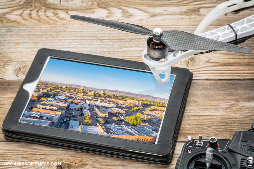
Drone mapping tech is developing so fast that it’s hard to follow all the industry news. UAVs are getting smarter, faster and overall more complex but there are a couple of trends that are about to move the drone photogrammetry revolution to the next level.
1. Size vs. battery life
The launch of DJI Mavic Pro showed that hardware providers are working on making smaller and lighter devices. Besides the portability, the reason for that is the battery life. The more you save on size and weight, the longer your drone can last on a single charge and today the flight time is the biggest limitation of the technology.
There is a linear relation between the size of the area you can map during a single flight and the battery life. Normally, fixed wing drones can survey up to several square miles and rotary drones below 0.1 mi2 during a single flight. Extending the battery life could enable plenty of new applications or significantly improve currently offered drone mapping services.

2. Advanced Sensors
Most of the drone mapping use cases today are based on a regular RGB visual sensors. The price decrease of advanced sensor technologies now allows using them with UAV platforms. Companies like PrecisionHawk already offers a whole range of mapping sensors including multispectral, hyperspectral and thermal cameras as well as LiDAR.

Such sensors allow applying complex remote sensing algorithms to drone imagery with a millimeter resolution. It brings domains like precision farming to a new level. It allows assessing the condition of crops per plant rather than per acre. It’s a level of detail that was not available ever before, and it will require some time for the industry to learn how to use it, but the data are there.
3. Automated drone fleets
Today, UAVs are typically controlled by human operators, that have to plan the flight (or use software to do that), go to the field, launch a drone, complete the survey in single or multiple rounds. The scope of the project is limited by a range of the drone and the required resolution.
So if you have a large object to survey, you need multiple drones with multiple operators or one operator that gradually collects data for the whole project area. It complicates the operations in the field, increases the cost and compromises the available temporal resolution (refresh of a given area over time). For some objects like long power lines or pipelines, large-scale drone inspection might not be an option at all.
The developments in drone control technologies will soon solve the problem. Imagine that an operator controls not a single UAV but a whole fleet of dozens of autonomous flying robots. The central system divides the survey area between them. Real-time flight path tracking and dynamic flight recomputation allow the fleet to autonomously correct their route depending on the location of other devices.
Such solutions are currently used by Intel in the entertainment industry but applying it to drone mapping will be a real disruption.
4. Machine Learning in Digital Photogrammetry
‘Machine Learning’ is one of the buzzwords that you can hear and read as often as ‘drone.’ So how about combining these technologies? Recent years showed that Machine Learning is particularly useful for image recognition and could be applied to drone-powered digital photogrammetry.
PwC is one of the pioneers in the field. The company’s drone mapping unit has trained neural networks to recognize multiple object classes and is now applying it to construction inspections. It allows tracking objects, applying safety measures to human behavior and automatically monitoring progress but the possibilities of Machine Learning for drone mapping are endless.