 While mobile dating apps may seem like a convenient platform to jumpstart your love life, they are also a dream destination for ambitious stalkers, a new study has found. Researchers at Kaspersky Lab have discovered so many security vulnerabilities in popular dating apps, it’s almost like they were serving user data over to criminals on a platter.
In particular, Tinder, Mamba, Zoosk, Happn, WeChat, and Paktor were found to be most prone to having their location data hacked. “If the app included an option to show your place of work, it was fairly easy to match the name of a user and their page on a social network. This, in turn, could allow criminals to gather much more data about the victim, track their movements, identify their circle of friends and acquaintances,” Kaspersky Lab explains in a blog post, detailing how this data can be used to stalk the victim.
 The attack based on geolocation data weakness uses a function of mobile dating apps which shows the user’s proximity to other app members. Now, to be clear, the apps don’t reveal in which direction the user whose profile is being viewed is from a particular location. And the process of determining that by moving around the victim and recording distance data can be quite tedious.
But it appears that the apps themselves are simplifying this task for criminals, the research says. “An attacker can remain in one place, while feeding fake coordinates to a service, each time receiving data about the distance to the profile owner.” The accuracy with which user location is shown varies from one app to the other. The less accurate an app is, the more measurements an attacker would need to make.
What is even more disturbing is that these findings come on the heels of a University of Washington study which concluded that a surprisingly modest budget of $1,000 is all it takes to exploit an individual’s online advertising network to track their location and learn what kind of apps they are using. Read more about that research here. And till the time dating apps tighten their security measures, Kaspersky Lab recommends avoiding public Wi-Fi access points and refraining from sharing any personally identifiable information, such as workplace, on a dating network.

#Business


Next article

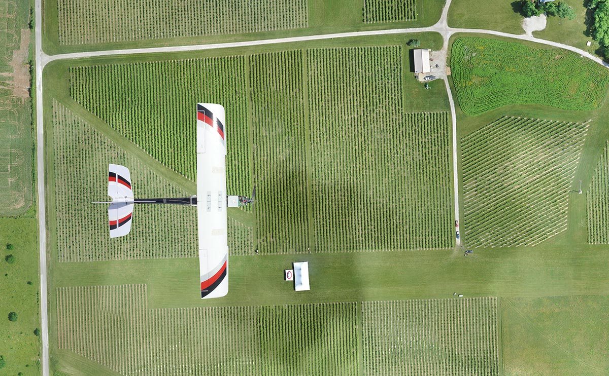
1. Irregular/difficult terrain
Getting a fixed GSD (Ground Sampling Distance) in terrain with irregular elevation might be tricky when you plan the flight at a fixed altitude. The actual pixel size across the whole survey area will differ. You should take it into account when planning the mission and select the right hardware and software for the job.
Most of the flight planning apps such as Pix4D or DroneDeploy are limited to fixed altitude flight paths, which makes it a little bit complex to plan flights over a hilly terrain like a quarry. It often requires capturing data separately on various attitudes resulting in the acquisition of much more data than needed and complicating the data processing. More advanced platforms such as PrecisionHawk or Sensefly offer so-called terrain tracking which allows flying on various attitudes during a single flight following applied Digital Terrain Model.
2. Too much sunlight
Nice sunlight and shadows look great in drone videos, but they have a terrible influence on the photogrammetric products regarding the usability but also stitching the images and creating the models. When images are overexposed or underexposed, the system cannot find tie points resulting in poor reconstruction. During the sunny day always try to capture the data as close as possible to solar noon. In some situations, artificial light can be used to solve the problem.
3. The larger images, the better
Size matters. The larger the images, the easier it is to process them and the more accurate the reconstruction. Stitching images can be tricky, especially in difficult wind and sun conditions, so the fewer images there are the better for the accuracy of a model. The size of the images depends on the drone camera parameters such as resolution, focal length, and sensor size (CCD array).
4. The right sensor
If you think about survey-grade accuracy of your drone survey you should consider selecting a sensor with the right lens. Typical cameras on board of UAVs are not real mapping sensors and do not offer the top level of quality. Nonetheless when each pixel matters, one should use so-called metric cameras, which are built to minimize distortions and so that the internal geometry of the camera would hold its characteristics despite harsh working conditions and changing operational environments.
5. RTK/PPK drone
When processing the drone images into highly accurate photogrammetric products, precise information about a geographic position of each image is key. Regular GNSS sensors are accurate up to several meters. Using RTK (Real-Time Kinematic) or PPK (Post Processing Kinematic) technologies allow achieving the positioning accuracy even below 50cm, which makes a significant difference for survey-grade products. Depending on the task you can you drone such as DJI Phantom 4 Pro RTK, or WingtraOne.
6. Ground Control Points
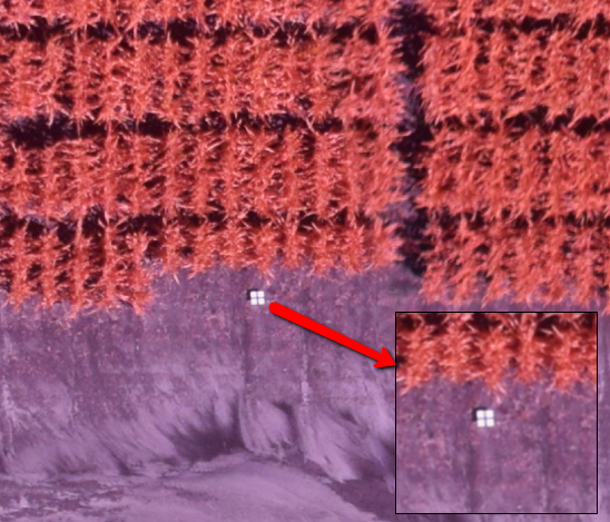
Many drone platforms providers claim that their RTK systems do not require any GCPs (Ground Control Points) measured on the ground to achieve high absolute accuracy. If you think about achieving the accuracy of 2-3 GSD with 1cm pixel size, adding GCPs to the survey is a must. In fact, it’s a key not only to have them but also to distribute them accordingly across the whole survey area.
Source: PrecisionMapper
7. Control over the processing
Online platforms for data processing such as DroneDeploy or PrecisionMapper are really awesome. However, if you are serious about achieving survey-grade accuracy you must have the full control over the process and often perform some manual adjustments like adding tie points or changing processing parameters. In order to do it you shouldn’t rely on online processing platforms, but invest in a full desktop version of Pix4D or AgiSoft and do the processing activities with proper attention to detail.
8. Stability of the flight
Last but not least the more stable the flight, the better overall accuracy you will get. The stability of the flight is reflected especially in the vertical positional accuracy. The stability of the flight depends on the wind and the drone platform. Typically fixed-wing drones offer higher stability than multirotors.