
Blockchain has been one of the hottest topics in tech for some time, and like numerous other sectors, the automotive and mobility industry is also exploring potential applications for blockchains. A new patent application published by the US Patent and Trademark Office this month reveals General Motors’ (GM) plans to use blockchain to develop a decentralized, distributed navigation map for vehicles.
The method will leverage one or more sensors embedded in automobiles to evaluate and characterize the surrounding area, including capturing the GPS information and registering the differences noticed on a blockchain map network.
To give you a rough example, if a sensor detects a road change (change in the lanes along a road, a traffic sign, speed limit changes, etc.), it would communicate the same to a perception and localization processor. The processor, in turn, will communicate that information with a blockchain map to detect any discrepancy with regard to the already registered transactions (or map data). Once enough vehicles/sensors relay the same new information to the network, the transaction will be accepted as a valid change and the blockchain map will automatically update to reflect the same.
Vehicles today utilize some type of navigation system that provides detailed maps to either a human driver or to the automated driving system of a self-driving car regarding the geographic location of the vehicle and directions to the desired destination. However, as GM points out, the current mapping systems are difficult to keep dynamic without incurring large costs. As such, there is a need for a new and improved system and method for distributing navigation maps to automobiles.
The blockchain-based navigation map proposed by GM will not only update a distributed navigation map to the vehicle in question, but also to all other vehicles that communicate using the same blockchain map network. More specifically, the system will continuously update the distributed map in a decentralized manner to vehicles that communicate with each other in a distributed vehicle-to-vehicle (or peer-to-peer) network.
Advantages of blockchain-based navigation maps
In essence, GM recognizes that the many benefits of using blockchain technology to develop a decentralized, distributed navigation map for vehicles. These include:
- Decentralizing the updating of navigation maps
- Democratizing map generation from vendors
- Reducing costs for map changes that are validated across many vehicles, and
- Enabling rapid updates of navigation maps

#Business


Next article
What is a map? Scientific research on understanding the term “map” in the context of the development of LBS and autonomous navigation systems

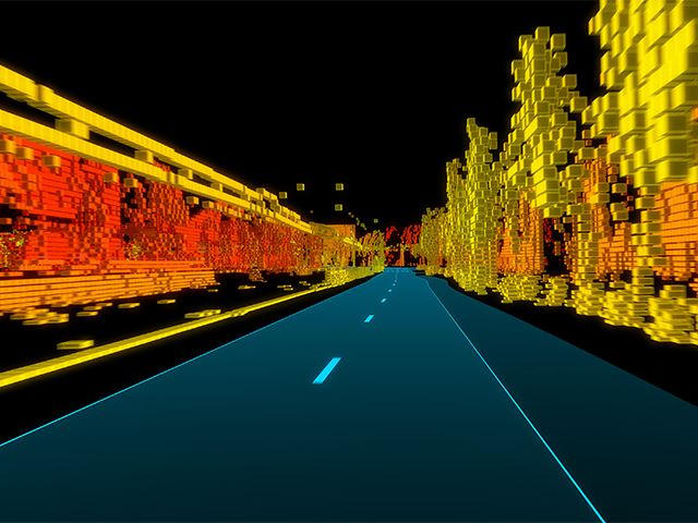
TomTom RoadDNA
In the face of strikingly intense technological development, there are significant discrepancies in the understanding of the concept of a “map”, which is fundamental to the geoinformation community, both in social perception context and scientific discourse. Because of the development of electronic products for which information about space is necessary, there is a growing need for systematizing basic concepts to avoid several scientific or practical misunderstandings.
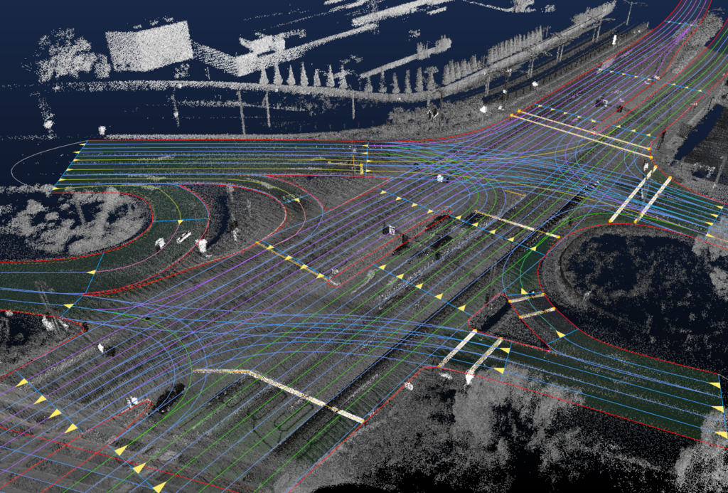
HERE HD Live Maps
We all use the term “map” in various ways when creating LBS applications and autonomous navigation systems. These solutions are today the driver of geoinformation development. Thanks to such technologies, we use more information than ever before about the space around us. Methods of transferring information are increasingly different than in the past. Information that reaches users are sometimes ordered and adjusted to the user’s perception level or sometimes not.
In the face of the development of autonomous systems, interesting questions arise, e.g. whether a map user must always be a human, or can it also be a machine, e.g. a computer in an autonomous car or an autopilot in an aeroplane or UAV? When do we deal only with data transfer and when with a map?
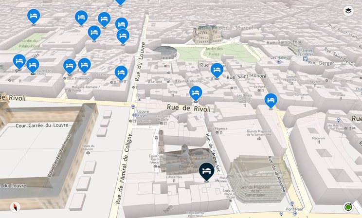
HERE 3D Map
If you want to stop for a moment in your everyday professional rush and think about these problems, we encourage you to take part in our study. On the one hand, it can be an opportunity for self-reflection, and on the other, you’ll help us understand how geoinformation technology changes the perception of the concept of “map”, which is so important for the entire geoinformation community. After the research is completed and published in a scientific journal, we will share the results with you.
We conducted the first part of the research at Warsaw University of Technology on a group of people for whom Polish is the primary language. Together with the Vienna University of Technology, we are now expanding our research to include English-speaking, German-speaking and Spanish-speaking people. We plan to conduct scientific research with subsequent groups soon to determine whether this concept is now received similarly in different languages.
Choose a questionnaire depending on which language is your primary language. The survey will take you less than 5 minutes to complete.
Thank you very much and we encourage you to think about the meaning of the term map yesterday and today.
English version: https://www.interankiety.pl/i/bW6Rbj5W
German version: https://www.interankiety.pl/i/d4RxyqVP
Spanish version: https://www.interankiety.pl/i/xzLny2b9
Chinese version: https://www.