
Hi Geo-Geeks! This week we’ve got for you something cool. We all use them. We all read about them but do we actually know what they mean? Let’s check if you know the meaning of the most common acronyms. Remember to share your score with the world! And to check out our other GeoawesomeQuizzes!
DO YOU KNOW THE MEANING OF THESE GEO ACRONYMS?
[viralQuiz id=32]
DID YOU LIKE THE QUIZ? SUBSCRIBE TO OUR WEEKLY NEWSLETTER
[wysija_form id=”1″]

#Fun


Next article

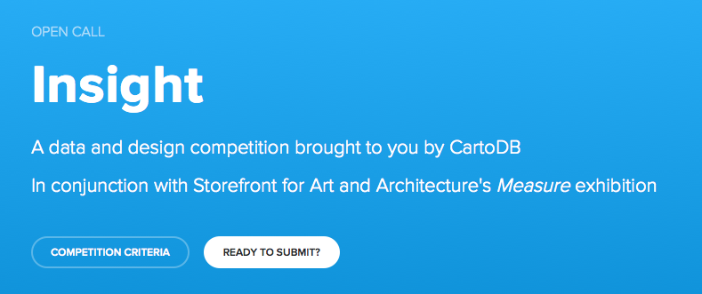 We have seen a ton of cool maps being featured at CartoDB’s Map Gallery, majority of which were created by Geogeeks like us – be it the now famous “Mapping smells of London” map or the awesome “UFO sightings map“. Now CartoDB has decided to celebrate the community of creative people and mapgeeks who use their technology for making these geoawesome maps with a new competition “Insight: A data and design competition“
At CartoDB we have the pleasure of seeing beautiful, creative, and insightful maps from our community come through our office every day. Many of those maps get the recognition and exposure they deserve in our gallery, publications, and as features on our blog, but too often, some of the most creative and impressive projects don’t. We set out to find ways of elevating our map making community, and teamed up with Storefront for Art and Architecture to celebrate beautifully insightful projects, give away great prizes, and inspire our community to create and share work around the measurable and immeasurable. – CartoDB blog
CartoDB’s open call for Insight brings together their data visualization technology and the contemporary culture of data-driven works of art. In addition to a cash award ($500.00) and CartoDB infrastructure, the winning entry will be exhibited at Measure, an an exhibition by Storefront for Art and Architecture in New York. Interested in checking out the list of participating artists (besides you 😉 ) here’s the list.
To measure, to quantify the physical and intangible dimensions of a place, is to articulate facts in order to construct values. The process of creating standards and guidelines of representation allows innovation to enter the realm of the establishment. What can be measured can be capitalized, historicized, and sold. – Measure
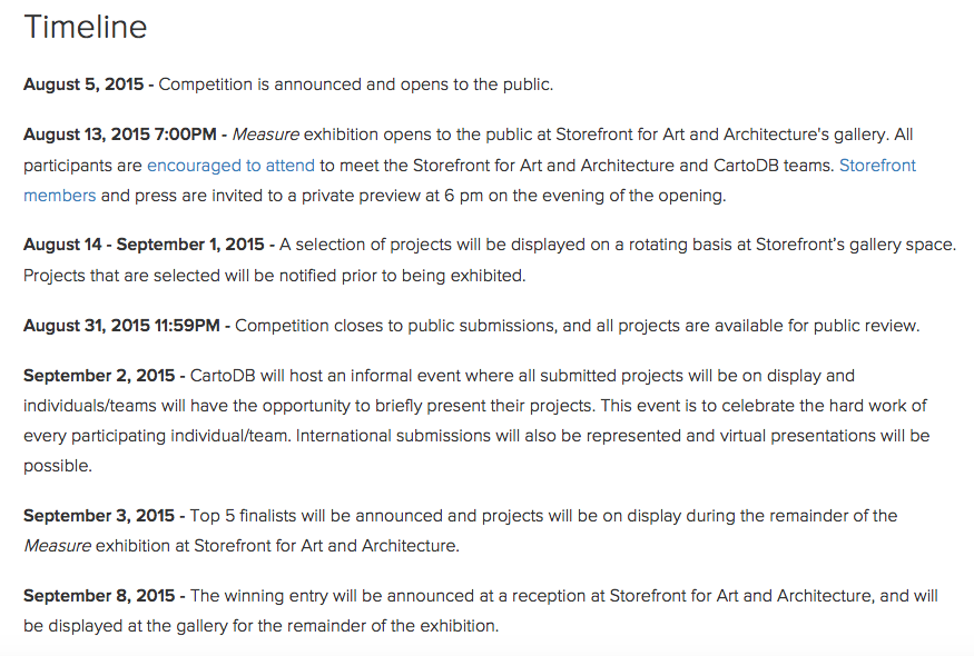
Timeline for CartoDB Insight Open Call
Happy visualization 🙂