
The coronavirus lockdown has left many of us feeling restless with unexpected extra time on our hands. It may be a good idea to use some of this additional time to learn something new and upskill yourself. Many top universities and professional institutes offer free online GIS learning resources that you can start anytime and learn at your own pace. We are listing some of them here.
Pennsylvania State University
Cartography and Visualization: Apply cartographic theory to practical problems, with a focus on design decisions such as selecting visual variables, classifying and generalizing data, applying principles of color and contrast, and choosing projections for maps.
Advanced Python Programming for GIS: Learn advanced applications of Python for developing and customizing GIS software, designing user interfaces, solving complex geoprocessing tasks, and leveraging open source.
Advanced Analytic Methods in Geospatial Intelligence: Examine how time and place work with general intelligence techniques to create geospatial intelligence. Learn and apply critical thinking skills, structured analytical techniques, and other intelligence methods in a geospatial context.
Massachusetts Institute of Technology
Geographic Information System (GIS) Tutorial: This resource is designed to accustom GIS novices to the various available software packages and introduce them to some of the many features included in GIS systems. Topics include an introduction to two GIS applications, spatial data analysis, and spatial statistics.
Spatial Database Management and Advanced Geographic Information Systems: This course offers a very in-depth set of materials on spatial database management, including materials on the tools needed to work in spatial database management, and the applications of that data to real-life problem-solving.
Principles of the Global Positioning System: The aim of this course is to introduce the principles of the Global Positioning System and to demonstrate its application to various aspects of Earth Sciences.
The Hong Kong Polytechnic University
Introduction to Urban Geo-Informatics: A combination of GIS, remote sensing, global navigation satellite system, location-based system, underground utilities survey, and smart city application, this massive online open course (MOOC) has been made available through edX platform.
Trinity College
Data Visualization for All: In this data visualization course, made available on edX platform, you will learn how to design interactive charts and customized maps for your website. The course begins with easy-to-learn tools and gradually works its way up to editing open-source code templates with GitHub
Also see: A Day in the Life of an Ordnance Survey Cartographer
Esri Academy
Getting Started with GIS: Get an introduction to the basic components of a GIS. Learn fundamental concepts that underlie the use of a GIS with hands-on experience with maps and geographic data.
Python for Everyone: Learn fundamental Python concepts and be introduced to the Python scripting environment in ArcGIS. Tips and techniques to help you master proper Python syntax, script flow, and error handling are presented.
Using GIS to Solve Problems: GIS is used to explore patterns, answer questions, and solve problems about many different topics. In this course, you will learn a five-step process to solve a problem using GIS.
Interesting: A Day in the Life of an Amazon Maps Cartographer
Please note that we will continue to update this article periodically with new geospatial course information. If you have benefitted from a free GIS learning resource or would like to recommend an online geospatial course for this list, drop a comment or write to ishveena@geoawesomeness.com

#Featured


Next article
Barring the disruptions caused by an unprecedented global pandemic like coronavirus, logistics at Amazon is a 7 days/week, 365 days/year operation. And the onus of building the technology that would power a successful Last Mile delivery network for millions of customers around the world lies with the maps and data science team.
One may wonder, why does Amazon need to build its own maps in this day and age. But a quick peek into Amazon’s operations would tell you that the problems the online retailer is looking to solve are both unique and challenging. For example, Amazon doesn’t want to simply get a delivery executive to an address; it is also interested in helping them find out if there is a mailing room in the building and if there is, helping them navigate quickly to that mailing room.
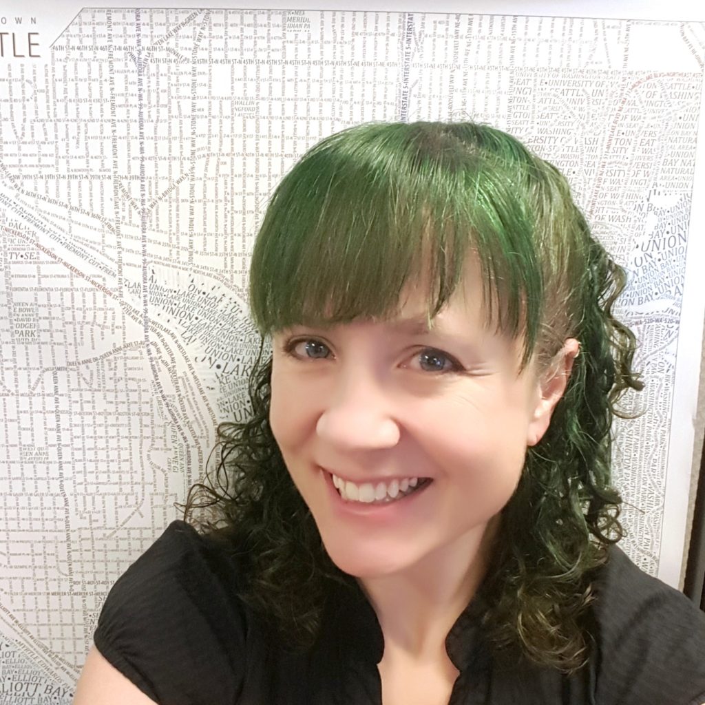
Responsible for producing the overall design (look and feel) of all Amazon Maps styles, cartographer Kate Leroux’s job entails solving detailed maps data and visual challenges that are both global and geo-specific.
But Kate’s journey to arrive at her dream career at Amazon Maps was not as simple as getting from point A to point B. In fact, cartography was nowhere near what she had in mind as a young drama school graduate.
This is her story…
How did you get into cartography?
I’ve always loved maps, but I’m not great at hand drawing, so I didn’t consider it as a career when I was starting out. I ended up in the Seattle startup software industry for about a decade, doing a wide range of jobs that didn’t seem to form a cohesive career path: testing, scripting, data management/wrangling, IT, customer service, writing, graphics editing. Soon after I began pursuing a GIS certificate, it became clear that all the skills I had built over the years were needed for this new career, and that I was in my dream profession.
I think GIS is a great field to arrive in later in life. It feels like I’ve encountered a lot of fellow GIS analysts and cartographers who had another career first, more than in other fields. We’re a welcoming community, and all of us need to keep learning as technology changes, not just the newcomers.
What is a typical day for you like?
My design team has blocked their time so that there are two types of days: meeting days and work days. As much as possible, I squeeze meetings into two days of the week, so those days are mostly spent talking to people and in email and chat. The rest of the days are mostly spent on cartography work. I own the design of several worldwide, interactive basemaps, so I maintain and improve existing styles and design new ones as needed. My time is split between a visual map editor (Maputnik) and editing JSON text files, with occasional doses of Illustrator and Photoshop. Once in a while, I do a little coding, if needed.
Why did you choose to work with Amazon?
At Amazon, the maps group is still growing so I have the opportunity to shape the look and feel of the maps. I like that my work helps a lot of people (especially right now when so many are stuck at home). It’s easy to explain to anyone what I do, because everyone is familiar with Amazon.
What is your favorite part about your job?
I enjoy that feeling when, after a lot of trial and error, I hit upon a clear and beautiful way to solve a design problem.
Also see: A Day in the Life of an Ordnance Survey Cartographer
What does it take to create not just a map, but a good map?
Two important things come to mind: time and visual hierarchy. First, a good map takes time. While there are excellent cartographers out there working on tight deadlines (such as in journalism), they have established design systems and style guides to rely on. A new map design, on the other hand, can’t be rushed. That’s because you need time to try out some of your crazier ideas and challenge your initial assumptions. You also have to be able to step away and see it fresh again later. After you look at something too long, obsessing over every detail, you can no longer see it the way your end-users will.
Also, a clear and intentional visual hierarchy is essential to a good map. For my maps, I have an actual written list of all the map layers in priority order. This is a helpful guide as I design.
What advice would you give to an aspiring cartographer?
I would advise an aspiring cartographer to build a portfolio they can share, and to start making personal connections in the cartographic community. There aren’t that many of us, so we try to be encouraging to newcomers. The best conference I attend is the NACIS (North American Cartographic Information Society) Annual Meeting in October, which I can’t recommend enough. Travel grants are available if you need one. During the year, you can curate a pretty spectacular cartography-focused Twitter feed and interact with us online. If you want to build your skills, videos of cartography talks from the last couple of years are available for free on YouTube.