It’s Easier Than Ever to Buy Satellite Data for Your Project

Editor’s note: This article was written as part of EO Hub – a journalistic collaboration between UP42 and Geoawesomeness. Created for policymakers, decision makers, geospatial experts and enthusiasts alike, EO Hub is a key resource for anyone trying to understand how Earth observation is transforming our world. Read more about EO Hub here.
Buying satellite data isn’t an easy process. Historically, satellite companies have dealt in huge multi-million dollar contracts and have been less likely to spend time on smaller clients. The lead time for receiving purchased data can be days or even weeks, and pricing is often confusing.
In short, in the world of instant online purchases and payments, it’s still catching up... But it’s getting easier. There are several startups and marketplaces that offer a quick route to purchase satellite data from a variety of vendors. For customers looking to buy a smaller volume of data than a government (i.e., most of us), their services are likely to be useful.
The UP42 Marketplace
We’re going to use a well-known player in the industry as an example: UP42. This Berlin-based startup offers a developer-centric platform that enables customers to buy, process, and analyse satellite data at scale, all together in a single environment. Besides the option to download purchased data, the platform offers enormous possibilities for processing and analytics, with over 85 dedicated algorithms that can be used to analyse the purchased data. It features algorithms from cloud masking and vegetation indexes to large-scale, Deep Learning-powered detection of objects and features.
Besides being a developer platform, the UP42 interface makes it easy to buy and download satellite data for any geospatial project and offers full transparency over the cost. The platform lets users buy credits (for €0.10 per credit) and use them for data purchase and processing.
In the video below, I’ve bought a 0.5m Pleiades satellite scene for about €32, which is very reasonable pricing. The UP42 console allows you to search and filter for data on a map; after selecting an area of interest, the dataset can be purchased in just a few clicks. The platform does need time (from several minutes to a few hours) to process the data, but following that, it is then available for download.
Another great trick that UP42 has up its sleeve is the Urban Super Resolution algorithm, which uses machine learning models to synthetically improve the resolution of the 0.5m data to about 15cm. This produces surprisingly good results and improves the usability of the data for analysis.
Data Outside the Catalog
Currently, UP42’s Catalog hosts commercial archive imagery from Pléiades, Pléiades Neo, TripleSat, Near Space Labs, and SPOT 6/7, along with Sentinel 1, 2, 3 & 5 from open sources. The UP42 team is working on integrating many other vendors. Data outside the catalog can currently be bought on request via satellite tasking from vendors including:
- Optical: Airbus, Head Aerospace, SIIS (KOMPSAT), 21AT, Nearmap
- SAR: Airbus, SIIS (KOMPSAT), Capella Space
- Elevation models: Hexagon, Nearmap
- Hyperspectral: Head Aerospace
Democratizing Earth Observation
Buying satellite data online (especially for smaller geospatial projects) has been a significant challenge for a very long time. Platforms like UP42 make it much easier for the geospatial community: data can be bought and downloaded in a matter of just a few clicks, with full cost transparency in the process. I’m certainly looking forward to other satellite constellations being added to the catalog to make my life even easier, but it’s already a big positive step towards the democratization of Earth Observation data.

#Data source

Next article
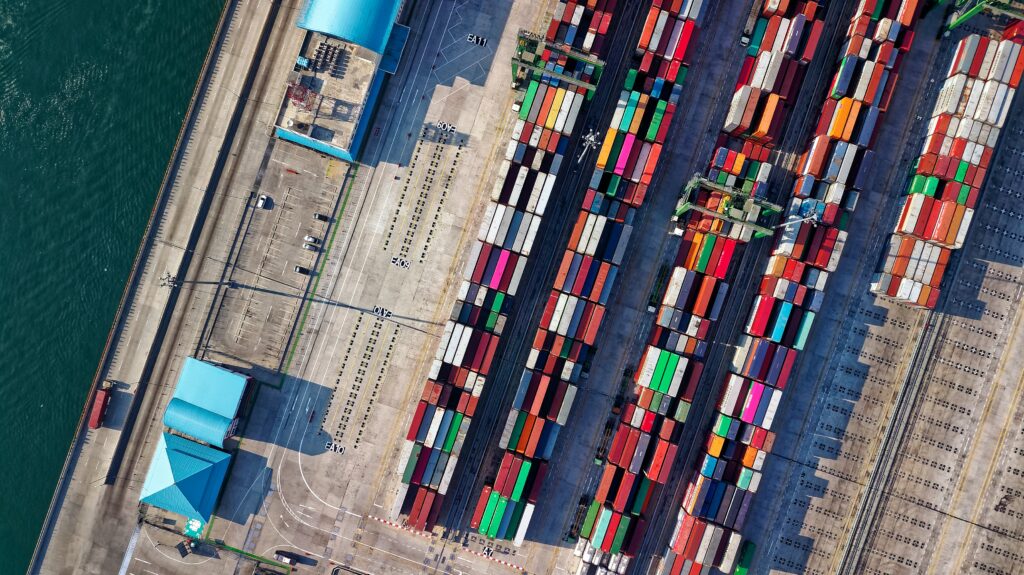
Earth Observation Plays a Vital Role in Global Supply Chain Monitoring

Editor’s note: This article was written as part of EO Hub – a journalistic collaboration between UP42 and Geoawesomeness. Created for policymakers, decision makers, geospatial experts and enthusiasts alike, EO Hub is a key resource for anyone trying to understand how Earth observation is transforming our world. Read more about EO Hub here.
Disruptions in global supply chains caused by COVID-19 restrictions, labor challenges, raw material shortages, and the global political situation have raised awareness of the need for reliable and accurate information about the movement of goods from manufacturer to end-user. The satellite industry plays a critical role in monitoring assets, offering near real-time data for decision-makers about the global supply chain situation, helping to select optimal routes, anticipate congestion, and more.
Over the past two years, we have learned how fragile the global supply system is—and how little we know about it. After becoming aware of the inherent risks, many organizations started to invest in technology to mitigate them. However, it emerged that reliable monitoring of the transfer of goods from manufacturers, through ports, ships, terminals, routes, trucks, and warehouses, was much more challenging than many anticipated. For instance, while tracking the shipments on land can be done using mobile networks, it is not as easy at sea, where approximately 80% of global trade per volume (and over 70% by value) is transported.
Earth Observation data has proved to be an effective source of information, especially with regard to maritime transportation. A combination of AIS data with optical and SAR data is used to identify ships, track vessel movement, and monitor the conditions of maritime routes, as well as detecting signs of illegal activity, dark vessels, and maritime pollution. Individual technologies have distinct limitations but, when combined, can provide a far better view of what is happening at sea. All of the required data can be found via online platforms such as UP42.
The value of satellite data for mitigating maritime supply chain risk goes far beyond tracking shipments. It aids in better understanding marine traffic in areas of interest, and also in obtaining information on changes in port activity patterns — such as the change in the number of vessels entering the port, or the volume of commodities stored or shipped. Moreover, satellite-derived bathymetry data helps to monitor coastal regions for water-depth-related risks, which can be a major challenge for massive container ships. But perhaps the biggest and best example of the value of Earth Observation data in this arena was the blockage of the Suez Canal…
A deeper look into the Suez Canal case
On March 23, 2021, the Panama-flagged container ship Ever Given became wedged perpendicularly across the Suez Canal, blocking the path of dozens of vessels until its liberation on March 29. This unique crisis—unprecedented in the canal’s 150 years of history—severely interrupted a supply chain that was already under pressure due to the COVID-19 pandemic.
12% of total global trade moves through the canal that separates Africa from Asia. Ever Given was holding up an estimated $9.6bn of goods daily. In addition, while hundreds of ships stayed in their place in the ‘queue’, waiting for the blockage to be resolved, other shipping companies decided to take an alternate, far longer route around the Cape of Good Hope, requiring additional time and fuel, and consequently costs. The array of goods that were caught up in the jam due to the blockage of the canal varied from oil tankers to liquified gas and biodiesel, live animals, crops, cement, automobiles, furniture, and tea, among others.
An image from Planet, captured on March 23, clearly shows the powerful sandstorm that was said to be a major cause of the container ship’s deviation from its course, leading to the blocking of the canal. On March 24, an image from BlackSky shows other vessels waiting in the canal (before the canal had been completely evacuated of cargo ships). On March 25, a SAR image from Capella Space shows the ship and the tugboats working on it. On March 26, ICEYE imagery provides a wide-area view of the obstruction and the traffic at the entrance of the canal. On March 27 and March 28, images from Maxar show the progress of the dredging operations underway to release the ship. And on March 29, an image from European Space Imaging shows Ever Given finally freed, with tugboats surrounding it.
This crisis proved the value of Earth Observation data to all the organisations along the supply chain, as satellite images became a major source of information to update decision-makers and the public regularly. As a result, satellite data companies and marketplaces received a massive amount of tasking requests to provide fresh imagery as often as possible. Earth observation data were crucial to understanding the severity of the problem and making short- and long-term decisions by organizations along the supply chain. In the array of unproven data, satellite imagery provided physical evidence of activities to restore the channel’s capacity, as well as their progress.
For many organizations, access to such data turned to be of a high importance. There were 64,887 containers stuck on Ever Given and about 360 other ships waiting at the entrance to the Suez Channel. This translated to thousands of trucks or rail carridges to transport it, hundreds of warehouses that had to freeze their capacity and factories stopping the production process because of lack of raw materials. Understanding the situation from an independent reliable source influenced decisions worth millions of dollars. It was a situation where satellite imagery not only became part of our daily news, but also played a major role for organizations that might not have used satellite data in their decision-making process before.
Conclusions
The commercial satellite industry continues to grow steadily, with more than 3,371 satellites circling the earth. This progress is demonstrated by the diversity of services that remote sensing companies are offering across all sectors, including global supply chain monitoring. The blockage of the Suez Canal by Ever Given has been a significant example, proving the value of Earth Observation for decision-making, risk mitigation, and public awareness. It has been a major trigger in the adoption of Earth Observation for maritime supply chain monitoring. This well-documented event triggered researchers and technology companies to build new solutions that could preemptively avoid such problems. We can certainly expect to see many startups moving into this space in the near future.
Did you like this article? Read more and subscribe to our monthly newsletter!