
If you ever get ‘Little Red Riding Hood, a big bad wolf may eat you’ kind of lost in China, the last thing you want to use is Google Maps (through a VPN because it is banned in the country anyway!). The navigation tool that more than a billion people rely on every month to reach their destinations goes totally bonkers when it comes to China.
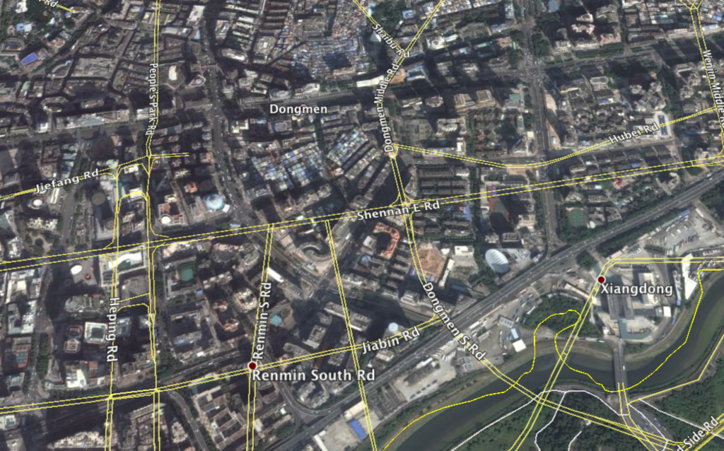
Don’t be surprised if you see roads tearing through buildings or streets disappearing into the river when you toggle to satellite view. Uber drivers, who use Baidu to get around, will always call you to ask where you are — which could be a huge issue if you don’t speak Mandarin Chinese and can’t use Google to pinpoint the driver to your exact location. On top of that, there’s a good probability your hotel is anyway a block away from where you think it is.

Perhaps this is why the reference frame upon which China bases all its maps is known as ‘Mars Coordinates’ — as if they are not describing Earth’s geography at all! Mars Coordinates, or GCJ-02 datum, is precisely why you cannot depend on GPS in China. While the rest of the world uses the most common GPS standard known as the World Geodetic System 1984, or WGS-84, for all digital mapping products, China chose to adopt a system of coordinates that debuted during the Cold War era to bamboozle foreign intelligence agencies. GCJ-02’s algorithmic offset means your real location could be up to 500 meters east, west, north or south (yes, it’s that random) of what you see on the map.
Imagine you are an airplane pilot flying to a Chinese city like this Reddit user, and your GPS shows the runway way off from what the rest of the instruments are showing. “We’d rely on the land-based navigational aids. Not a big deal in some cities, but if it was mountainous terrain — not so reassuring.”
The ‘Surveying and Mapping Law of the People’s Republic of China’ puts mapping and documenting of all “elements of physical geography or the shapes, sizes, space positions, attributes, etc., of man-made surface installations” under state supervision in the name of “national defence and progress of the society.” It, however, fails to explain how will national security be upheld in times of emergency when its own citizens may encounter challenges with regard to local navigation. And let’s not even talk about the doom faced by local developers who might want an uncorrupted dataset for actual, beneficial use. Or the financial implications for an organization who cannot release a product or a solution in China because the location functions will simply not work like they are supposed to.
But, considering the confusing layout of Beijing streets is also attributed to the government’s plan to frustrate the ability of any invading army to find its way around, it is perhaps quite liberal of China to have provision in the law for matters “where it is really necessary to adopt the international coordinate system.” Then again, China has sued almost 40 foreign individuals and organizations (including Coca Cola!) for illegal surveying and mapping between 2006 and 2011 alone.
Regulations also demand that all foreign handheld devices must also display the offset or merely disable their GPS functions. Which is why, if your phone or camera detects it is in Chinese territory, its geo-tagging ability becomes bizarrely compromised.
So, what do you do if you are travelling to China and cannot turn to your otherwise reliable Google Maps to find your hotel or sightseeing spots? Well, Baidu Maps can be quite painful if you don’t read Chinese. Travelers have reported Bing Maps and Yahoo Maps to be useless as well. Apple Maps, however, seem to be a pretty safe bet. An additional reasonable solution is Amap, which is essentially in Chinese, but allows standard searches like banks and airports in English. Another option is ABCMaps that would even show you real-time traffic conditions (if available) over the road as color-coded lines.
Whatever you do, just don’t end up like this Reddit user in Beijing. “First I had to VPN to even reach Google, and when I did the maps were just about useless. Googling Chinese addresses can be hard anyway. Between the tech issues and the language barrier, I have never felt so ‘alone’ around so many people.” Sigh!

#


Next article
In February 2015 NOAA and NASA joined forces and launched a DSCOVR satellite. The orbit of the satellite has been placed at Lagrange point 1, approximately 1 million miles from Earth, where it is balanced between the gravity of our home planet and the sun. Over the course of 1 year, a few time a day, the satellite has been taking a snapshot of Earth. NASA put together more than 3,000 of these images and created this amazing time-lapse that show a year in the life of our planet. Take a look at the NASA’s stunning time-lapse.
On July 20, 2015, NASA released the first image of the fully illuminated side of Earth taken by the EPIC camera aboard NOAA’s DSCOVR satellite, positioned at Lagrange point 1, about one million miles from Earth. This strategic position allows EPIC to capture a new image every two hours, vividly depicting the dynamic processes of Earth’s atmosphere, cloud movements, and seasonal changes in vegetation. These detailed observations are vital for monitoring environmental conditions such as ozone levels, aerosol concentrations, and UV reflectivity. DSCOVR’s primary function, under a partnership between NASA, NOAA, and the U.S. Air Force, is to maintain critical real-time monitoring of solar winds, essential for accurate space weather forecasts that protect technology and infrastructure on Earth and in orbit.
DSCOVR logo
If you enjoyed this article, read more and subscribe to our monthly newsletter!