

Today high accuracy satellite images are available to everyone: you can view them on Google Maps, you can buy them for your projects from websites like Terraserver, you can also treat them as an art project. But it was not always the case.
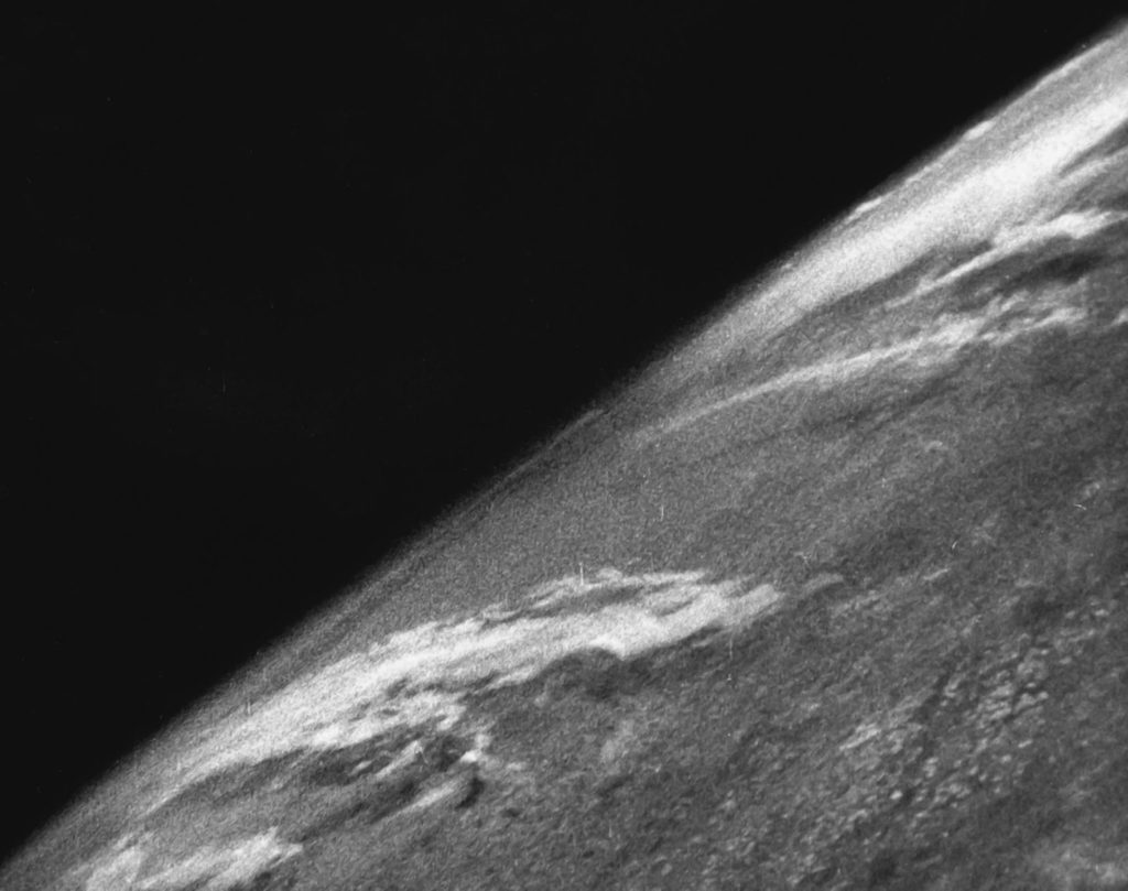
The first image of Earth has been taken 70 years on ago on October, 24th, 1946 with a camera installed on a rocket that launched from White Sands Missile Range, New Mexico.
The rocket was actually a Nazi V-2 ballistic missile prepared by a group of surrendered German rocket scientists. It flew to an altitude of about 65 miles (104 km) which is the agreed border of the outer space and took a series of pictures. The camera was enclosed in a steel case for protection as a few minutes later the camera hit the ground with an incredible speed.
According to the first hand reports, after retrieving the material from these early shots, the scientists went nuts, “They were ecstatic, they were jumping up and down like kids. When they first projected [the photos] onto the screen, the scientists just went nuts.”
The images taken by the camera were black-and-white and they didn’t show anything else than the Earth’s curvature and a cloud cover over the American Southwest but they paved the way remote sensing as we know it today.
Did you like this post about first image of Earth? Read more and subscribe to our monthly newsletter!

#

Next article
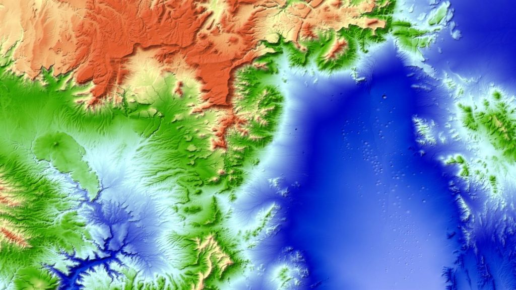
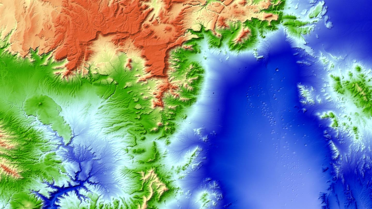
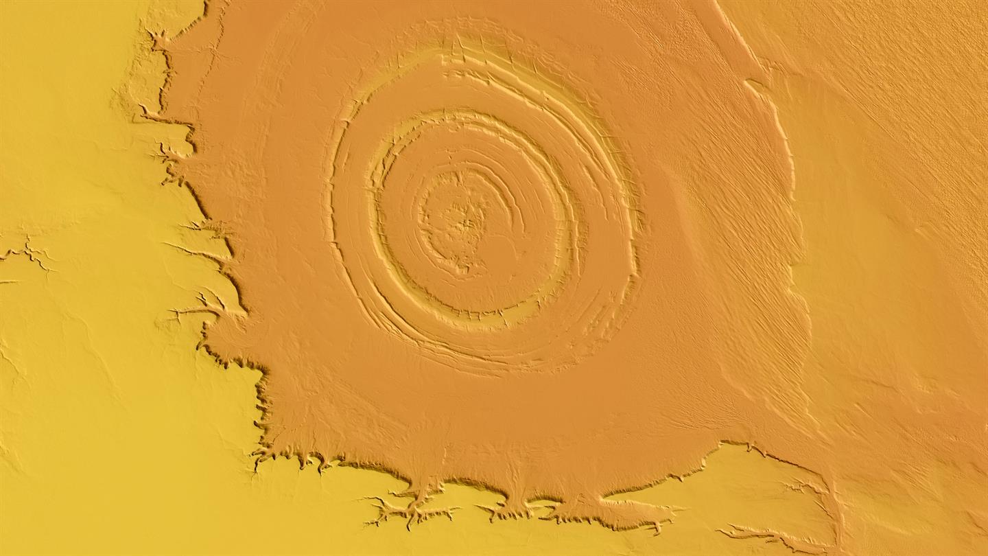
How to create a detailed 3D world model of the entire Earth? As you could suspect the only feasible way to do it is using satellites. But a regular satellite scan will not be detailed enough to give you a meter-level accuracy. Researches from The German Aerospace Center figured out a way to do it. Instead of using a single satellite they’ve launched to an orbit two satellites orbiting next to each other capturing stereoscopic scans of the surface of the Earth.
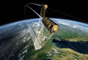
TanDEM-X and TerraSAR-X in formation flight
The mission called TanDEM-X (TerraSAR-X add-on for Digital Elevation Measurement) consists of a pair of twin TerraSAR-X satellites equipped with interferometric radar instruments that scan the same areas from slightly different angles. Over the course of the past six years the satellites transmitted over 500 terabytes of data that covering 150 million square kilometres of land surface. Now this data has been processed into a seamless 3-dimensional world map of unprecedented accuracy of 1 meter.
“TanDEM-X has opened up a whole new chapter in the field of remote sensing. The use of radar technology based on two satellites orbiting in close formation is still unique and was key to the high-precision remapping of Earth. In this way, DLR has demonstrated its pioneering role and satisfied the prerequisites for the next major development step in satellite-based Earth observation – the Tandem-L radar mission” we can read in the press release.
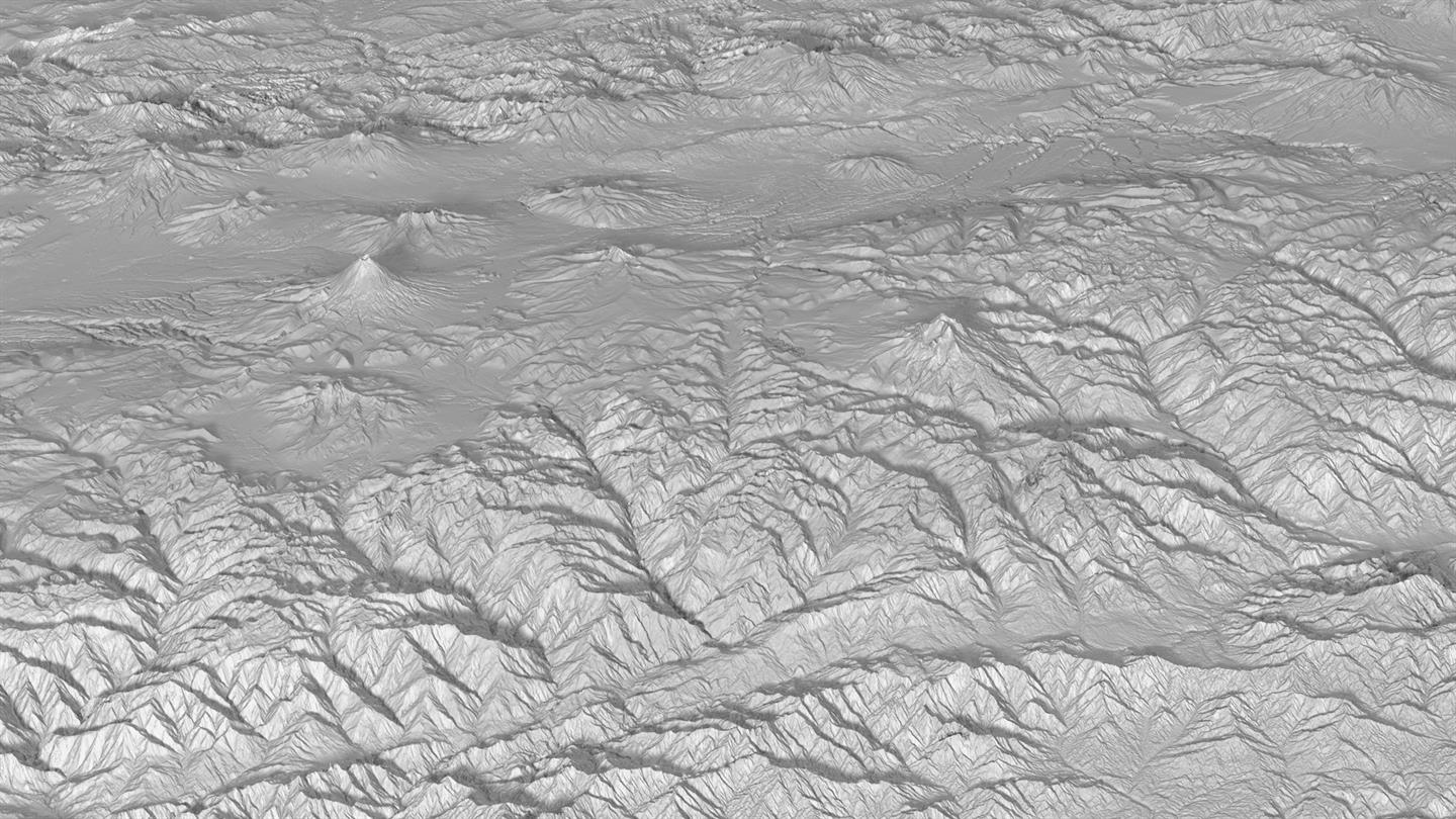
What’s even cooler about the project is that The German Aerospace Center shares its data for free with any scientists. The details are available here.
Did you like this article about detailed 3D world model? Read more and subscribe to our monthly newsletter!