
Gathering the right data is perhaps one of the biggest challenges that Data Scientists face today. Not only are there a wide variety of data sources to sift from, but a huge amount of time and energy goes into cleaning and preparing the data for analysis. In the geospatial industry, is estimated that spatial data science teams are able to spend only 20% of their time on actual analysis, modeling, and communication of results.
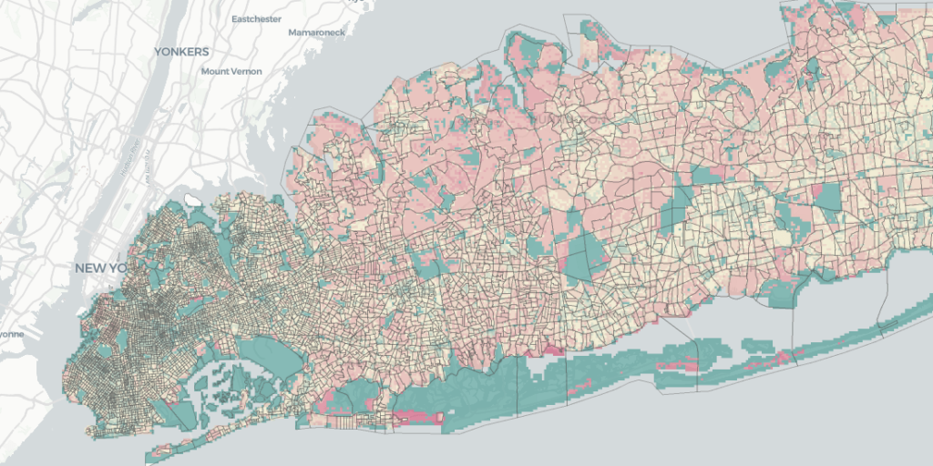
When location intelligence platform CARTO built its Data Observatory, the chief idea was to create an up-to-date index of location data. The recently released Data Observatory 2.0 takes that vision forward to provide Data Scientists with a scalable platform full of rich data in the format they really need it in! CARTO is now hosting geospatial datasets on Google Cloud’s BigQuery public datasets program.
Also read: CARTO acquires Geographica to focus on geospatial consulting services
“We have come up with a smart metadata system that registers thousands of datasets, all of which are spatially indexed and fully cataloged for the exploration of variables and geographies,” says Javier de la Torre, founder and Chief Strategy Officer of CARTO, adding that adopting a modern, cloud-based approach to data pipelines will deliver several benefits to users.
The biggest advantage is the separation of computation from storage. According to CARTO, analysts can push all the data they want to BigQuery, but they will need to pay only when they compute analysis on the data. “This is important for any organization serving lots of spatial data because it balances the business model. Now, the data provider doesn’t face a huge bill every month, but the cost is distributed to the users of it, and whoever uses it more, pays more. It’s a big win for spatial data infrastructure business models,” Javier points out.
Other benefits include having access to a fully scalable infrastructure without setting up any servers, and the ability to decide to which user, inside or outside of the organization, can access your dataset without having to duplicate it. “This set of functionalities means that our Data Observatory is probably the most cost-effective spatial data infrastructure and possibly also the most advanced,” says Javier.
You can read more collaborating on public datasets here.

#Business


Next article
 Remember this infamous aerial image from 2016 showing the bumper-to-bumper holiday traffic on a Los Angeles freeway two days before Thanksgiving? That year, almost 49 million Americans hit the road for Thanksgiving. This year, more than 55 million are expected to travel, according to the American Automobile Association (AAA). So, is there any way for you to avoid the crowds and congestion as you kick off the holiday season? Yes, says Google Maps!
Google analyzed the aggregated and anonymized location data from users in 25 major US cities who had Google Location History turned on during Thanksgiving week, 2018. Armed with those insights, the search engine giant has figured out the best times for you to get on or stay off the road in 2019.
According to Google, the day before Thanksgiving between 3-4 pm is the worst time to hit the road, but traffic clears up significantly by 6 am on Thanksgiving morning. Also, on your way back, Google advises to avoid the Friday or Sunday afternoon rush and leave in the morning when there are significantly fewer cars on the road.
This cool interactive website will show you how traffic changes on different days of Thanksgiving week for various cities, and will also tell you the best and worst times to leave for your Thanksgiving road trip so you can get to your celebration right on time.
Top searches on Google Maps for Thanksgiving week
Google also did a quick analysis of the top spots being searched on Google Maps to see where people are actually headed. Nationally, the most popular holiday spots this year are the Motown Museum in Detroit, the Smithsonian National Air and Space Museum in Washington DC, and the house from the 1983 film ‘A Christmas Story’ in Cleveland.
At the city level, Google segmented the trending searches data into categories – restaurants, attractions, and shopping centers – to see where the crowds could be anticipated. In New York, for example, Radio City Music Hall is one of the top attractions. And if you are in Boston, you may have a hard time finding a reservation at Gaga Seafood Restaurant, if Google’s analysis is any indication.
For more mappy tips on stress-free holidays, follow Google’s guide here.