
Geo Editor

#Business
#Ideas
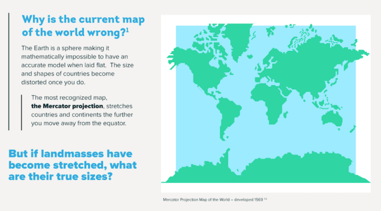
The real size of the world
#Business
#Fun
#Ideas
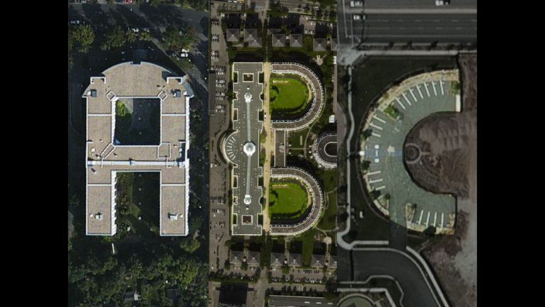
The 5 Coolest Uses for Satellite Imagery
Search