
 What does Coral Reefs, the ancient ruins in Mongolia, the awesome view of Earth from Space and the old temples in Japan have in common? Well, if any one of these was on your bucket list then you could now experience all of these without even leaving your easy-chair.
Let’s face it, making a bucket list is the easier part of the deal and in any case the bucket list is only getting longer and longer which makes it all the more difficult to accomplish everything. How about a compromise without taking it off the list?
Ever heard of the term “Arm Chair Tourism?”. Here’s some geoawesome projects that let you be the awesome armchair tourist!
Here’s a project by an organisation called Underwater Earth, they literally took Google Maps underwater!! Yup! This is what made me write the entire article on ArmChair Geography and Iyke wrote the article on “Underwater Maps” that I wanted to, just 438 days earlier!! Here’s the link to this amazing project – Google Maps For Ocean
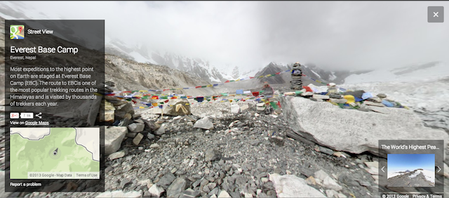
Well as you can expect with Google, they just didnt stop there. They ended up mapping UNESCO sites, Landmarks in Europe, the Highest Base Camp in the world and even Antarctica .
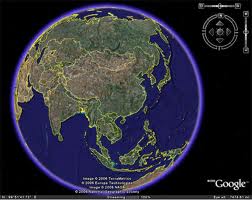
Now that’s what I call, taking Geography to heights! Speaking of heights, here’s a really cool video from the European Space Agency on view of earth from space!
If you are wondering if all of this is just for fun! think again! There have many cases of people finding shipwrecks, even new islands using “Armchair Geography”. Here’s an article on TelegraphPost. Well sometimes even Google Maps can create a lot of confusion, remember the story of the island that did not exist on earth but on google maps?
I for sure didn’t know that you could “see” so much without leaving your easy-chair! Armchair tourism! Armchair Geography! Geoawesome indeed 🙂


#Ideas


Next article


Google Street View, as everyone knows, provides panoramic views from positions along many streets in the world. It was launched way back in 2007, started with several cities in the United States, and has since expanded to include cities and rural areas worldwide.
In recent times, even it has accomplished capturing Venice, Italy, and at various mountains, parks ect. And now, Google is offering tailor made street view as well, meaning, it enable us to build our own street view. It can create a virtual tour of your business to attract customers or it can also helps you capturing your favorite places with 360 degrees virtual tour. Hmmmmm… sounds interesting??? The only thing you need to have is a CAMERA. Be it a DSLR camera, Android, iPhone camera ect.
You only need to just take photo spheres and connect them to create 360º virtual tours of the places you love, then share them with the world on Google Maps.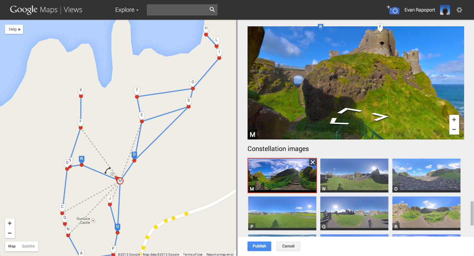
For more details, you may visit here, here and here as well.
And, just like with Street View, you can embed our interactive viewer on your own website or build applications with it using the Google Maps API.
Woww !!! Isn’t it so nice to build our own street view and publish and share them with friend and business? Before knowing about this news, I felt, Google street view is block box, but I believe, with this initiative, people will definitely explore further what is inside Google street view. Hope, this information is interesting to you as well.