Soft commodity – grown, rather than mined – supply chains are increasingly globalizing and becoming more complex. At the same time, climate change is a large threat to our society. This brings forth similarly complex issues like traceability for a rising number of companies and governments working on sustainable sourcing commitments. Many financial institutions invest in commodity producers, and they need data on risk in order to work responsibly. Can satellite tech help us get the necessary data and help to keep track of global supply chains?
Courtesy: Unsplash
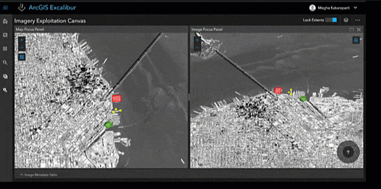
Satellite monitoring providing insights on financial risks
Hundreds of satellites are monitoring the earth right now, registering changes related to crop growth, land use, soil moisture, floods and plantation age. But how to distil the right information and make this useful when you’re working for a financial institution? And how can satellite tech be helpful in making responsible investment decisions? From research and conversations with people from the financial sector, here are the three most pressing questions that are being tackled right now with the help of satellite data:
1. Is deforestation happening due to our investments?
Palm oil production in particular (but not exclusively) has been connected to deforestation in the news repeatedly over the last few years. Occasionally including the financial sector in the public scrutiny following exposures. Deforestation and other negative environmental impacts are increasingly impacting and are affecting revenues in this industry.

Courtesy: Unsplash
Damaging the environment is found to damage business in three ways: through legal risk, financial risk, and reputation risk impacting the company value. For example, a bank works with a cooperative that sources with smallholder farmers. The bank’s credit committees make decisions on the provision of working capital and would like to get independent proof that production area expansion has led to a sustainable company performance increase, without deforestation. To ensure this, reliable information should be available to the bank on whether there has been any clearing since the moment of loan provision. Information can also support more client engagement down the line. If very recent clearing took place in the area, the bank can decide on closer monitoring of the asset.

Courtesy: Global Forest Watch
Global Forest Watch offers an open platform where users can review Global Land Analysis & Discovery (GLAD) deforestation alerts. GLAD was developed at the University of Maryland and supported by Global Forest Watch, and is the first global optical Landsat-based system for tree cover loss detection at 30 meters resolution. Satelligence set up a prioritized deforestation risk alerts platform that makes use of both optical and radar satellites, to mitigate the persistent cloud cover in many forest areas. In addition, the data is corrected for vegetation loss due to the clearing of regrowth and plantations by historical analyses of 35 years of imagery. This helps companies such as Unilever, Cargill and Wilmar get bi-weekly updates on their suppliers.

Courtesy: Satelligence
Recently, there’s an upcoming trend towards Financial Institutions joining satellite monitoring programs. Robeco, Actiam, and NNIP are acquiring such information to get insight into historical and current environmental risk (including deforestation). Satellite data provide unbiased and independent facts that can be used for prompt and better-informed engagement with listed companies and monitoring of impact investment projects.

Courtesy: Unsplash
2. Where and who are the unbankable smallholders that require finance?
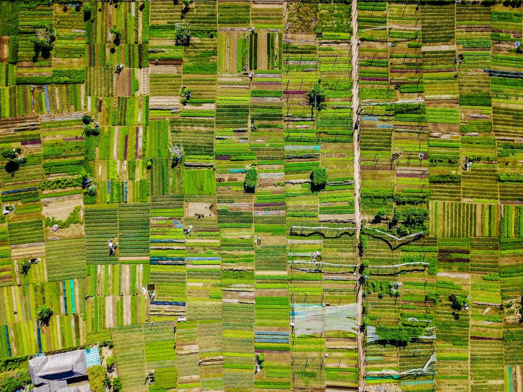
With the current population growth, our society is expecting to feed two billion more people by 2050. A large part of the world’s food is produced by smallholder farmers, of which farmers in tight value chains alone have $180bn credit need for working capital and long-term loans. Meanwhile, many of these smallholders are part of the roughly 31% of the world’s population without a formal financial track record, causing a lack of access to affordable finance.

Courtesy: Unsplash
Satellite data can help financial institutions to locate these farmers and measure their crop performance remotely. Data on the farmers is needed by the banks to provide input for risk models in order to give out loans. Rabobank and Wageningen University, for example, finished a successful pilot in Ethiopia for a tool to monitor smallholders’ crops. The tool, Climate Smart Digital Farm Finance (CSDFF) Solution, provides banks with data on crop production while reducing the need to visit farms in remote areas.

Courtesy: SpaceX
In early 2018, CGAP partnered with FinTech company Harvesting to support PRIDE Microfinance, Uganda’s largest microfinance institution. In a similar way, the Smart Agriculture Myanmar (SAM) project aims to improve the livelihoods of smallholder farmers using satellite images and agronomic data. Recommendations and risk assessments are sent to farmers who verify these insights through mobile phones and take appropriate actions on their fields. The data collected through the platform is then used to create a combined cash flow forecasting model and credit scoring tool to generate farmers’ risk profiles and scores. This enables investment officers at financial institutions to design suitable loan products for farmers in a systematic and scalable way. They are now able to serve this formerly unbanked group of the population for the first time while keeping default rates and overhead low.

Courtesy: Sandipan Majumdar, 2016 CGAP Photo Contest
3. Are my assets climate resilient?
The amount of extreme rainfall and its severity is increasing, and sea level rise will double coastal flood risk in major cities by 2050. At the same time, long-lasting droughts are becoming more prevalent. High-quality information on climate resilience is a priority to asset managers at financial institutions because of investments in agriculture and electricity sectors. Moreover, by combining this type of information with a weather model, forecasting analyses can highlight the upcoming risks and can be used as input for an early warning system.
Courtesy: Unsplash
MUIIS Service Uganda offers satellite data based advice, insurance and credit services to farmers in Uganda. Similarly, the SUM-Africa project provides satellite data based drought insurance services to smallholder farmers in Mali and Uganda. In these areas, droughts and unreliable climate conditions are leading to poverty. These projects are pioneering in offering lower-cost financial products to previously unreachable farmers.

Courtesy: MUIIS
In addition, satellite data can provide consistent historical information on floods. By monitoring and making a historic assessment it’s possible to map high flood risk areas. Using a satellite data monitoring system, it’s possible to view the extent of flooding in real time for damage assessment. See for example the global-scale work of Deltares.

Courtesy: Deltares
Towards a more sustainable future
These are just a couple of initiatives where satellites are helping financial institutions to improve their processes towards a more sustainable future. In the future, there might be a bigger role to play for satellite data helping our society to create a more sustainable soft commodity production process.