

Videos

Bad Addresses Are Expensive: An Introduction to Geo Addressing | Carmen Adame & Colin Mattison
Geo Addressing: Why Bad Addresses Are Expensive | Mike Ashmore – Senior Director @PreciselyData
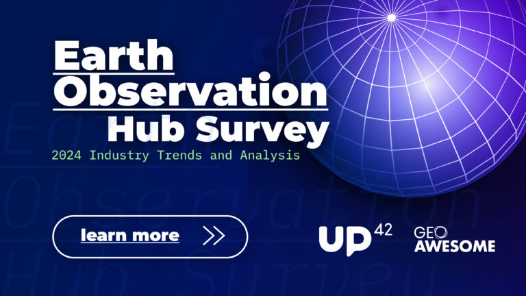
EO Hub Survey Insights: The State of Earth Observation in 2024 | Discussion Panel
EO Hub Survey Insights: The State of Earth Observation in 2024 | Aleksander Buczkowski

Revolutionizing Offshore Energy with SAR Technology | Erik Holtslag @Pondera

Revolutionizing Offshore Energy with SAR Technology | Eshanta Mishra @Synspective
The latest


#Environment
#Fun
#Science
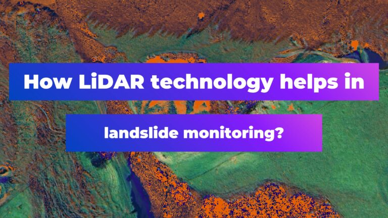
How LiDAR Technology Helps in Landslide Monitoring?
#Ideas
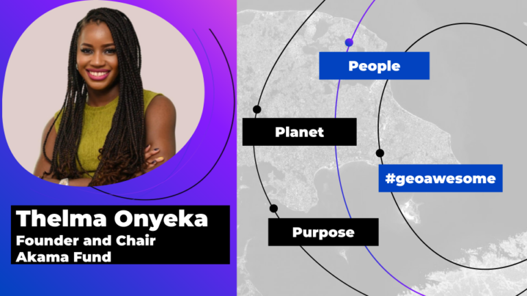
#People
#Satellites
#Science
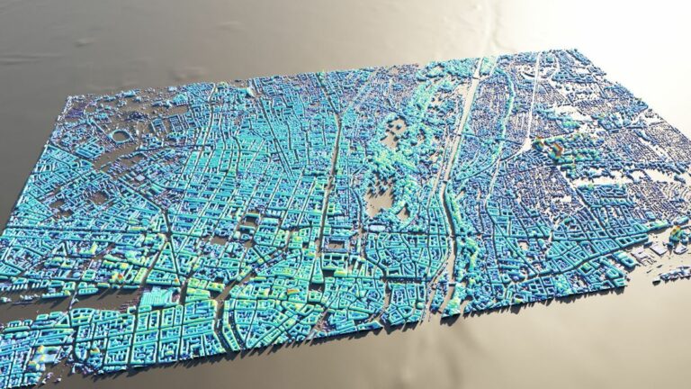
AI Assistance in Creating 3D City Visualizations
#Fun
#Science
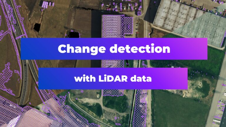
Change Detection with LiDAR Data
Events

Next Event
06.5.2024
GEO Business 2024
Podcasts
All PodcastsToday’s Featured

#Environment
#Environmental Protection
#GHGSat
#Hyperspectral
#Landsat
#Multispectral
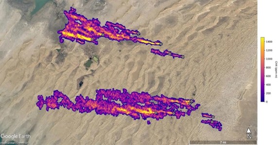
EO-based detection of super-emitters

#Atmospheric
#Copernicus
#Environment
#Environmental Protection
#ESG
#GHGSat
#Hyperspectral
#Ideas
#Landsat
#Multispectral
#Science
How organizations use satellite data to enable transparency in greenhouse gas emissions

#Contributing Writers
#Featured
#Fun
#Ideas
#People
Share Your Insights: Geoawesomeness is Looking for Contributing Writers
#Business
#Featured
#People
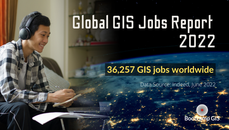
Global GIS Jobs Report 2022
#10m
#30m
#Copernicus
#Environmental Protection
#Landsat
#Multispectral
#Natural Resources
#Optical
#SAR
#Vegetation Indexes
#Vegetation Management
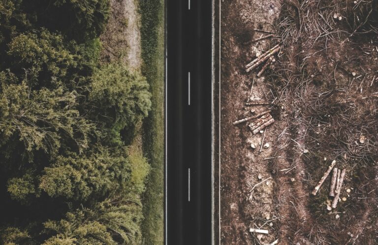
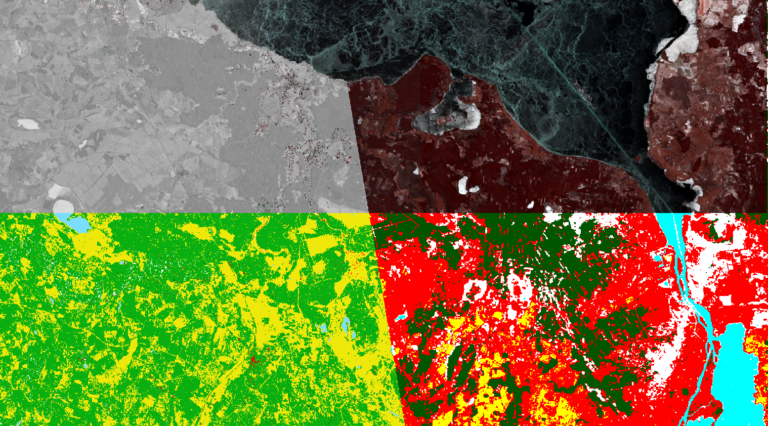
How satellite data is helping tackle deforestation from global supply chains
More Stories


Search