Thinknear launches a dedicated location-based advertising tool for politicians

Thinknear – the Telenav owned location-based ad network might have found an interesting niche. The company have just launched a new platform that aims to bring geomarketing into politics.
The new tool is called ThinkPolitical and it has been designed particularly to help political marketers to message voters and campaign influencers based on place, whether it’s to extract direct donations or, ultimately, get them out to vote.
It makes a lot of sense as it is estimated that spending on digital media during the 2016 political races might exceed $1 billion. Half of it will be spent at the state and local level. Thinknear suggests that with traditional adverting as much as $0.73 of every political dollar is being spent outside of a campaign’s political boundary or voting district. With the new platform the company aims to reduce that form of wasted ad spending.
The idea behind the platform is similar to how location-based ads works in any other market. Thinknear uses geo-data to understand and build deep consumer profiles. It takes into account all available data such demographic details (e.g. age, income, and gender) as well as spatio-temporal behavioral patterns to determine a person’s political preferences. Based on that the company will serve a relevant ad to particular voters. The goal might be to get donations or keep them informed directly before opponents — or “the media” — do.
I’ve got still one year to the nearest elections in the US. I guess that we’ll see a similar productions in portfolios of all major location-based advertising companies. What it shows is what every reader of Geoawesomeness knows: location matters.

#Business


Next article
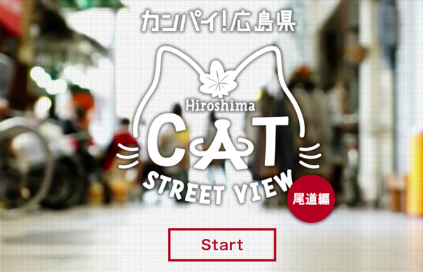
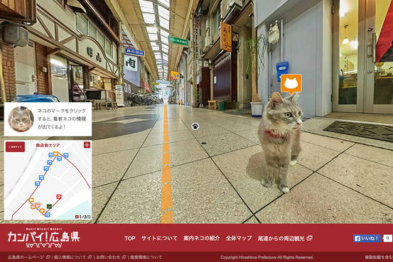
The Japanese city of Onomichi created a project that could happen only there… Google-like Street View for cats. The mapping application works in a similar way to Google’s but it’s positioned at the height of a cat…
The idea for the project came from the top – tourism biuro of the Hiroshima province. They decided that this is the ultimate way to promote the city. And they were right, the whole world wrote about the project. A Hiroshima tourism official commented:
We were seeking to introduce a different way to look at our cities and offer a view of the streets that wasn’t available before
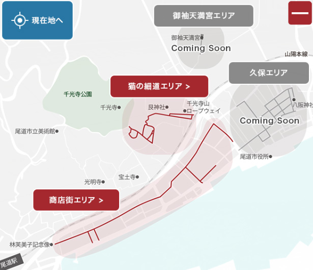
For now the map now covers a shopping arcade and surrounding areas in Onomichi, which is about 70 kilometers east of Hiroshima city.
What else there is to say.. just play around.