

For centuries, solar eclipses have captured the imagination of people and cultures around the world. Even though most believed that solar eclipses brought death and destruction, people in many ancient civilizations tried their best to understand and predict them. Surviving records have shown that the Babylonians and the ancient Chinese were able to predict solar eclipses as early as 2500 BC. Solar eclipse happen when the Moon passes between the Sun and Earth, and the Moon fully or partially blocks the view of the Sun from Earth and today we are able to go back in time or predict the eclipses for centuries ahead.
From practical point of view it is important to know that seeing a solar eclipse fully depend on when and where you are. A new interactive map published on ESRI online allows you to search and view all eclipses for a particular location. The Solar Eclipse Finder tool maps paths of 905 historical and future solar eclipses from 1601 to 2200. The historical data is mapped in green and the future data in orange. When clicking on a particular path you’ll get detailed information about each event. Check out the interactive map here.


#Ideas


Next article
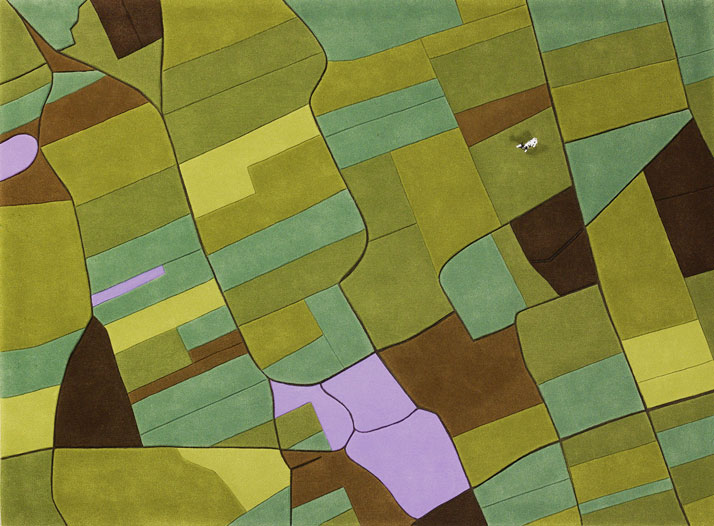
One of the most crazy but somehow inspiring projects I heard about. Austrian artists Florian Pucher (currently based in Shanghai) takes satellite images and uses them as model for a custom-made “Landcarpets”. Originally trained as an architect, the designer began making these carpets back in 2007 in collaboration with graphic designer and business partner Sophia Liu Bo.
To create a carpet they take aerial images and then redraw them, focusing on the typical characteristics of the area the image depicts. They use wool of different thicknesses to represent the lands of selected area to create a sculptural quality that recalls an actual landscape. The effect is wonderful but not cheap. The cost for their pre-made designs like the U.S. and Europe starts from $1,200 up-to $2,100 depending on size but if you’re willing to pay a bit more they’ll make an exclusive rug based on your favorite place.
USA
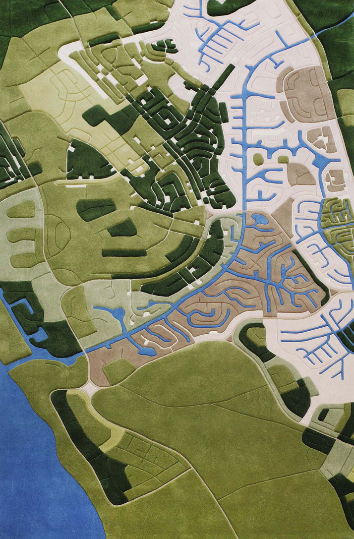
Shanghai
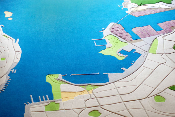
Bahamas
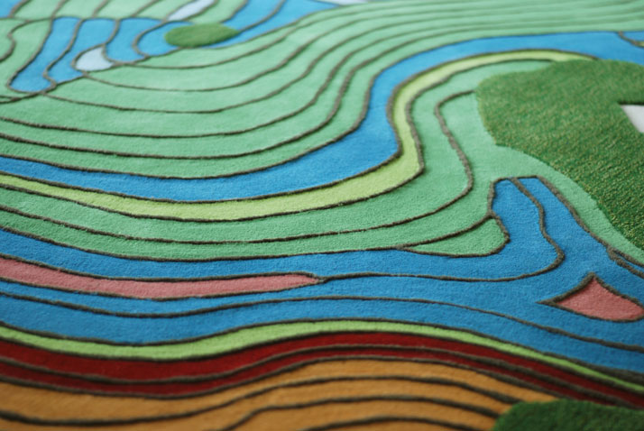
China
source: Florian Pusher