


Videos

Bad Addresses Are Expensive: An Introduction to Geo Addressing | Carmen Adame & Colin Mattison
Geo Addressing: Why Bad Addresses Are Expensive | Mike Ashmore – Senior Director @PreciselyData
EO Hub Survey Insights: The State of Earth Observation in 2024 | Discussion Panel
EO Hub Survey Insights: The State of Earth Observation in 2024 | Aleksander Buczkowski

Revolutionizing Offshore Energy with SAR Technology | Erik Holtslag @Pondera

Revolutionizing Offshore Energy with SAR Technology | Eshanta Mishra @Synspective
The latest


#Environment
#Fun
#Science
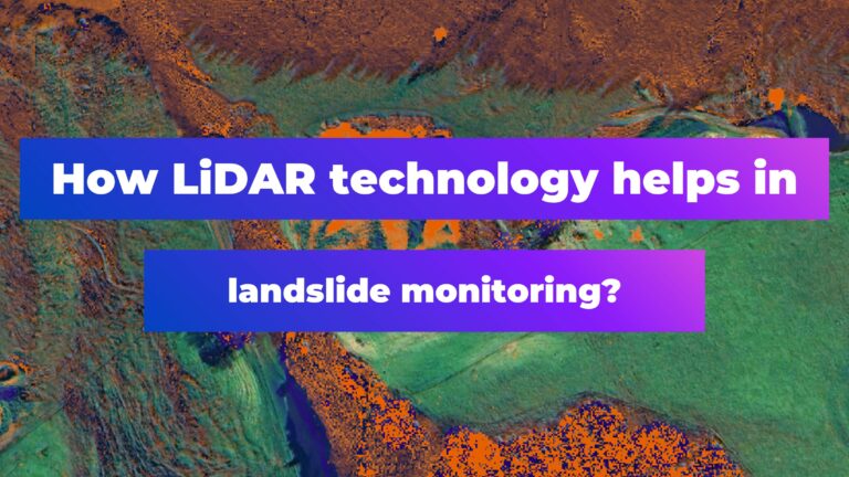
How LiDAR Technology Helps in Landslide Monitoring?

#Ideas
#People
#Satellites
#Science
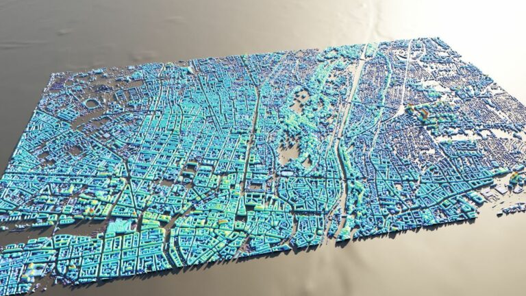
AI Assistance in Creating 3D City Visualizations
#Fun
#Science
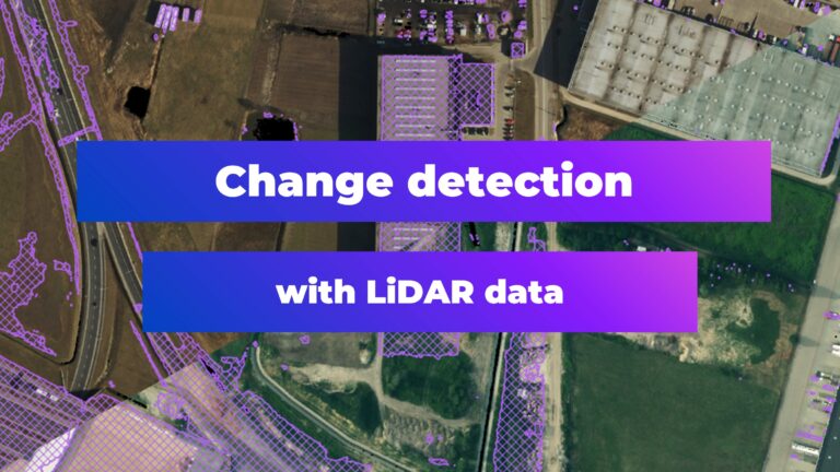
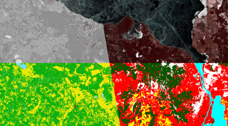
Change Detection with LiDAR Data
Events
There are no upcoming events.
Podcasts
All PodcastsToday’s Featured
#0.30m
#Agriculture
#Airbus
#Multispectral
#Optical
#Vegetation Indexes
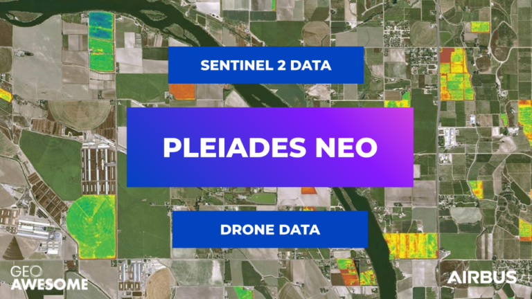
The new 30cm Pléiades Neo constellation offers, the precision agriculture sector, data that bridges the gap between drones and open-source satellite imagery
#Cloud
#Data processing
#GeoDev
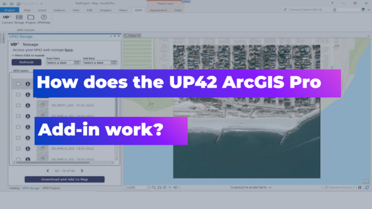
This Add-in Will Make Your EO Data Workflows in ArcGIS More Effective at Scale

#Environment
#Featured
Best satellite observations of the Year 2022!


#Environmental Protection
#ESG
#Geospatial analytics
#Optical
#SAR
#Satellite-Derived Bathymetry
How satellite data is used to understand sea level rise

More Stories
#Satellites
#Science
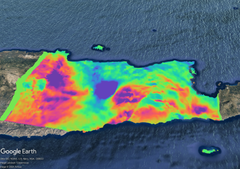
Exploring Earth’s Displacements using InSAR data

#Featured
#Ground stations
#Satellites
Ground Stations Explained: How Does Satellite Data Travel from Space to Earth?
#Environment
#Featured
#Humanitarian
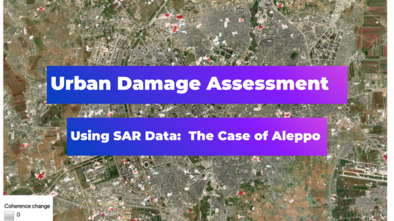
Urban Damage Assessment Using SAR Data: The Case of Aleppo
Search