


Videos

Bad Addresses Are Expensive: An Introduction to Geo Addressing | Carmen Adame & Colin Mattison
Geo Addressing: Why Bad Addresses Are Expensive | Mike Ashmore – Senior Director @PreciselyData
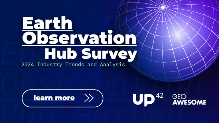
EO Hub Survey Insights: The State of Earth Observation in 2024 | Discussion Panel
EO Hub Survey Insights: The State of Earth Observation in 2024 | Aleksander Buczkowski

Revolutionizing Offshore Energy with SAR Technology | Erik Holtslag @Pondera

Revolutionizing Offshore Energy with SAR Technology | Eshanta Mishra @Synspective
The latest


#Environment
#Fun
#Science
How LiDAR Technology Helps in Landslide Monitoring?

#Ideas
#People
#Satellites
#Science
AI Assistance in Creating 3D City Visualizations
#Fun
#Science
Change Detection with LiDAR Data
Events
There are no upcoming events.
Podcasts
All PodcastsToday’s Featured

#Business
#Construction
#Featured
#Financial Services
#Satellite tasking
How can satellite data add value for different construction stakeholders?
#Airbus
#Cloud
#Copernicus
#Data processing
#Featured
#GeoDev
#Hyperspectral
#Multispectral
#Other
#Planet
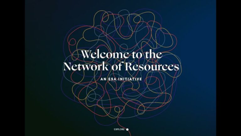
Apply for the ESA NoR Sponsorship and Receive up to €5,000 to spend on Earth Observation Services and Data

#10m
#30m
#Copernicus
#Environmental Protection
#Landsat
#Multispectral
#Natural Resources
#Optical
#SAR
#Vegetation Indexes
#Vegetation Management
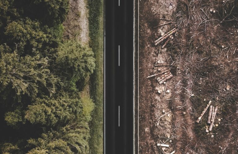
How satellite data is helping tackle deforestation from global supply chains
#Business
#Featured
#Ideas
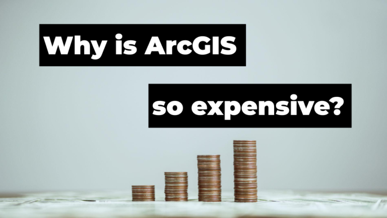
Does Enterprise GIS (such as Esri) Need To Be That Expensive?
More Stories
#Satellites
#Science
Exploring Earth’s Displacements using InSAR data
#Featured
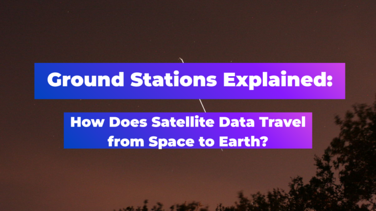
#Ground stations
#Satellites
Ground Stations Explained: How Does Satellite Data Travel from Space to Earth?
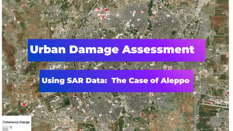
#Environment
#Featured
#Humanitarian
Urban Damage Assessment Using SAR Data: The Case of Aleppo

Search