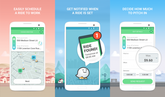
Google expands Waze Carpooling service making the ground for its autonomous car business

After testing for a couple of months in San Francisco and Israel Google-owned Waze is expanding it’s ride-sharing platform to new locations. The company is planning launches of its carpool service in several cities across the U.S. and Latin America and then potentially expanding it worldwide.
This decision is certainly setting the tech giant on a collision course with the ride-sharing industry and in particular with Uber. For the time being Waze’s Carpooling service is focusing on a specific area of commuting to work and at the same time, Waze Carpool is not seeking to attract professional drivers, so the service is not trying to be aggressive towards competitors. The idea is to pair drivers with riders that have similar commuting patterns based on home and work addresses. Additionally, Waze Carpool users are limited to two rides a day. With that in mind, it is clear that it’s not a cash cow type of a project but rather a way to incentivize drivers to change their attitude towards the ridesharing economy.
Commuting and sharing cars sounds a lot like the concept coming directly from self-driving transit idea. It seems that Google is preparing the ground for its autonomous car business model that will be based on the economy of sharing and it’s one of a few companies in the world that can invest in materializing that vision by influencing commuting habits of people around the world without a short-term ROI in mind.
A few months ago Google launched an Autonomous driving spin off startup called Waymo. Its business model seems to be based on the sharing economy… The future might be sooner that we think.

#Business


Next article


Mapping the world for Self-Driving Cars isn’t an easy task – the sheer volume of data that needs to be processed (in real-time), together with the complexity of fusing together information from different sensors makes it an interesting engineering problem. The maps have to be detailed enough but at the same time have a low data footprint so that crowdsourcing is possible in real-time.
Building an Atlas of the world for Self-Driving Cars
Civil Maps is launching a new R&D Development kit that can help create 3D maps for Self-Driving Cars in real-time. The Atlas DevKit is a self-contained, plug-and-play product, equipped with a number of sensors including LiDAR, optical cameras, positioning sensors, and communication device with 4G capability. The DevKit isn’t just about the hardware, the companion software suite that converts all of this sensor data into meaningful 3D maps for Self-Driving cars.
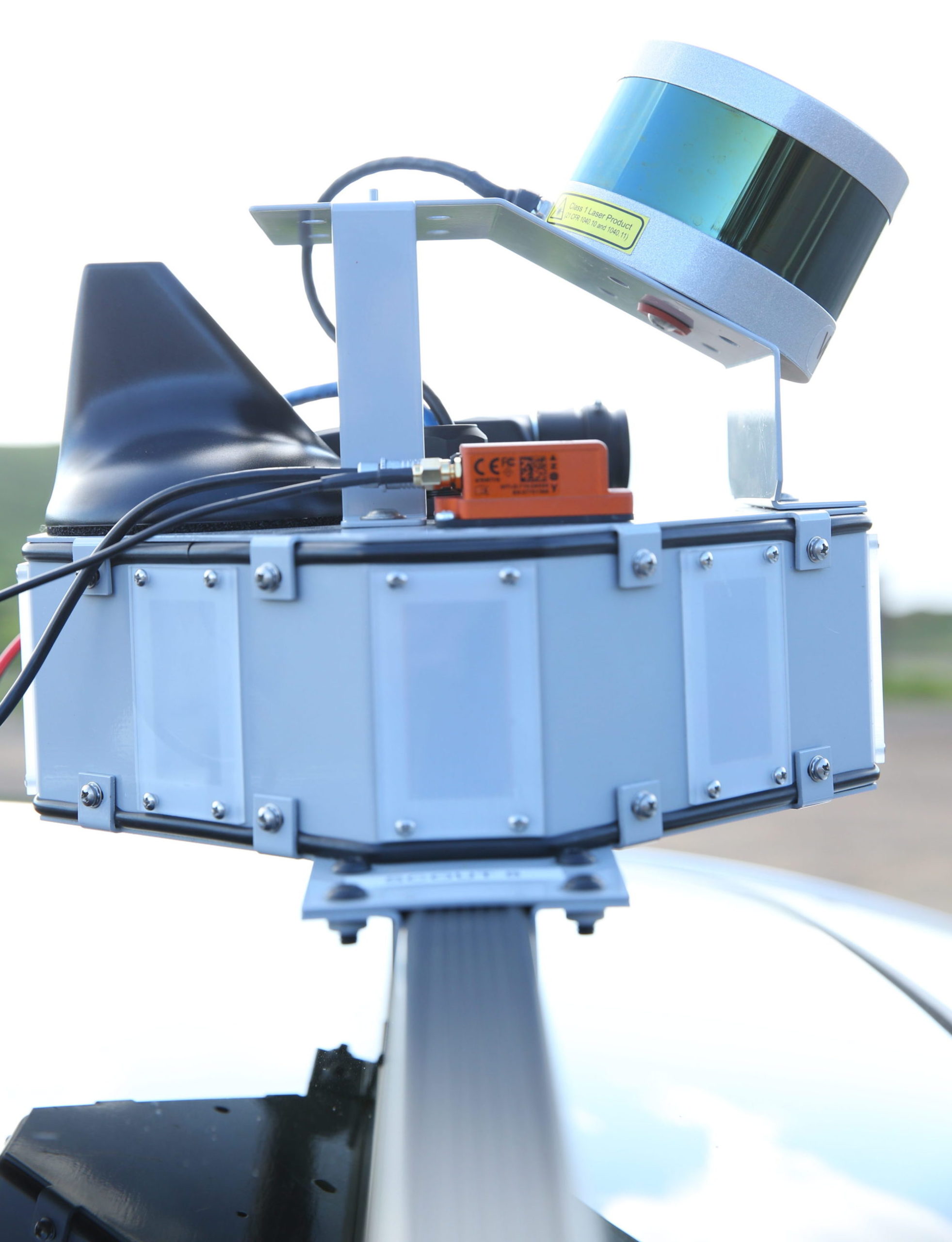
Civil Maps technology startup testing Atlas DevKit in the Marin Headlands outside of San Francisco, CA on Feb. 23, 2017. © Vance Jacobs 2017
The DevKit promises an accuracy within ten cms in 6 dimensions i.e. x, y, z, roll, pitch, yaw. What makes it interesting is that the end-product i.e. the 3D Map needs only +/- 120 kb per km! The low-data footprint makes it ideal for crowdsourcing and real-time transmission to other Self-Driving Cars in the vicinity.
The DevKit is sensor agnostic and can also be integrated with existing sensors in the car, which makes it ideal for vehicle manufacturers. The DevKit has a starting price of $20,000, and Civil Maps is currently offering it only to companies as part of an R&D contract.
“Advanced localization, map creation, and crowdsourcing of maps are key challenges facing those hoping to test and deploy autonomous vehicle technology, The Atlas DevKit platform accelerates the pace of innovation by enabling developers to quickly and economically localize vehicles, build dynamic maps, and crowdsource that critical information with other cars in real-time.” – Sravan Puttagunta, Co-founder and CEO of Civil Maps
TomTom, HERE and Civil Maps
The software behind Atlas Kit is what makes Civil Maps, a company to take note of, for the likes of TomTom and HERE. Both the mapping giants are working on their implementation of 3D Maps or High-Definition Maps for Self-Driving Cars, partnering with car manufacturers (Related: HERE’s Automated Driving Project). Civil Maps may not be planning to map the world for Self-Driving Cars on its own (at least not yet), but the Atlas DevKit and its software makes it possible for other companies including car manufacturers to do so. It’s certainly interesting to see what the future holds!