
If you study or work sooner or later you will have to make a PowerPoint presentation. No matter if you work in a mapping industry, you want to present annual results per region in your organization, or you have class project review, the best way to show something that has a spatial component is always a map.
If you need to show some complex phenomena you might need to make your cartographic visualization in a GIS, mapping or graphic software and add it as an image to your slides. If needed you can than draw shapes on the top of the image in PowerPoint. This way you can also add animations on the top of your map background.
But if you need a cool looking map for your slides to show things on a cartogram or same graphics like pie charts, bubble chart or markers on the top of a map the best method is to use one of the templates available online.
These map templates offer various possibilities but also have some limitations. You can change the color of each element (e.g. country, state), do actions like enlarging a country, you can group, ungroup visual elements, add effects like shadows etc. The biggest limitation is that you cannot connect it to any data, which means that you need to edit colors manually.
What is found really interesting is that some of these maps are using SVG or vectors so you can edit them with any vector editing tool and copy back to you slides.
Below you find a list of my favourite free and premium templates:
1. MS Office map template with pins from Microsoft
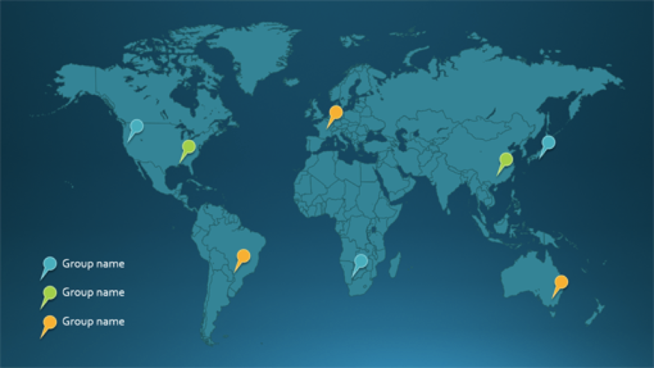
Source: Office
Price: Free
2. Cool generalized 13 templates of world map
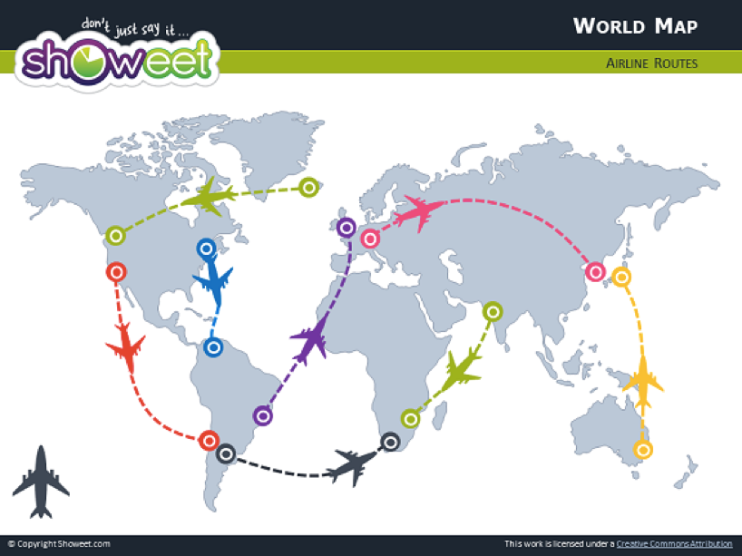
Source: Showeet
Price: Free
3. Simple country-level world map
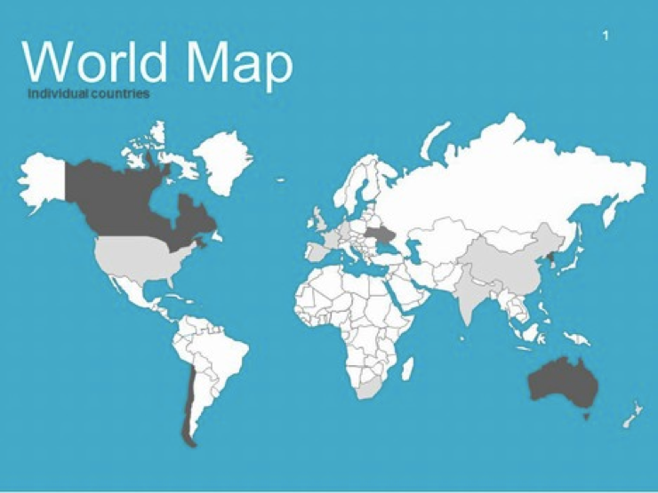
Source: presentationmagazine
Price: Free
4. Another free country-level map but not in Mercator projection
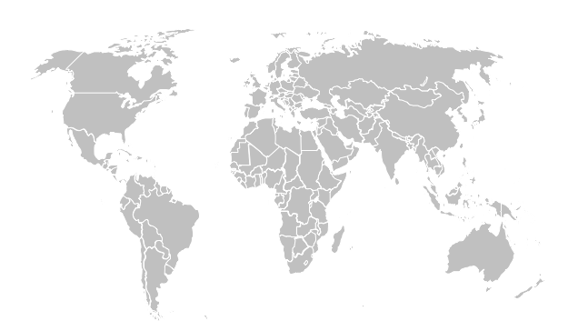
Source: Presentation SlidesPrice: Free
5. Awesome dotted world map
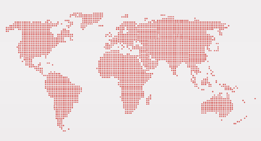
Source: Presentationgo
Price: Free
6. Cool premium world map with charts.
Source: GraphicRiver
Price: $12
7. Premium world map with zoom
Source: GraphicRiver
Price: $4
8. Premium country map with states and regions
Source: GraphicRiver
Price: $10
If you feel something is missing, feel free to share it in comments.


#Featured


Next article


Imagine a city where public services are automated. Each street light senses your location and adjusts its brightness. Traffic management system will guide you directly to a free parking space. Smart sensors will monitor the activity of elderly people and, if necessary, call for help…
Although it still sounds a bit futuristic this vision is slowly becoming a reality. According to IHS Technology within the next decade we can expect over 88 metropolis around the world to become “smart cities”. Today one of the few cities that might be called ”smart” is definitely Dubai and the Dubai’s authorities are clear about one thing – there is no smart city without drones.
The state’s aviation authority (United Arab Emirates General Civil Aviation Authority – GCAA) has recently partnered with Nokia aiming to design a complete ecosystem for connected drones in Dubai. The company will set up, the first of its kind for a national government, system to help officials manage automated flight permissions, no-fly zone regulation and beyond-visual-line-of-sight safety operations, something like LATAS in the US. But this is just a beginning.
Bernard Najm, head of the Middle East market unit at Nokia, said in a statement “The UAE is committed to making Dubai the smartest city in the world, and UAVs are expected to play a critical role in this process by supporting a wide variety of smart city services”.
Consider a scenario where the accident occurred. Smart city management systems automatically detect the event and send drones to gather information in the form of images of vehicles, civilians or the environment. In another situation, drones can provide WiFi signal during blackouts to keep people informed. Possibilities are almost limitless, and opportunities are really tangible, making this concept so attractive.
As Eleanor Roosevelt once said – The future belongs to those who believe in the beauty of their dreams.