

After a terrible launch back in 2012, Apple Maps got much better but the truth is that they are still far behind the competition including Google Maps, TomTom and HERE among others.
The app is still lacking some major features like lane information, and the map data freshness is still far from being perfect. Today Apple uses geographic data from multiple providers including TomTom, OpenStreetMap, and Foursquare but merging this data is a complex process and they can’t update it fast enough to match Google.
Apple is clearly working heavily to improve it. In May the company opened a mapping data production unit in Hyderabad, India that is supposed to hire 4000 people to keep the map up-to-date (Google also has the office in Hyderabad hiring around 5000 people). Apple is also using mapping cars (similar to Google StreetView) to gather high quality source data for map updates.
All these activities were copying existing technologies rather than disrupting the industry. In order to catch up with the competition, Apple needs to look into new ways to update geographic data and last week Bloomberg suggested that Apple is investigating a new technology that will allow them to update map cheaper and faster. The company is reportedly assembling a team of robotics and data-collection experts that will use drones to capture geographic source data.
And this idea seems to make sense. Drones are much cheaper and faster to mobilize than $175k mapping vans. UAVs equipped with cameras and LiDAR lasers will be sent to capture data about street signs, track changes to roads and monitor if areas are under construction. The data will be than sent to India to update the maps.
According to Bloomberg News in September 2015 Apple filed for an exemption from the FAA to fly drones for commercial purposes (which was needed at that time). The approval to “operate an unmanned aircraft system to conduct data collection, photography, and videography,” has been granted in March 2016. Some of the documents mentioned that Apple will use drones from DJI and Aibotix.
The official FAA guidelines for commercial drone operation from August are quite limiting. The UAV must be operated by a licensed pilot only within the line of sight with restriction to fly above people and buildings but there are a lot of other countries where drone rules are more liberal or there are no restrictions at all. With time the US rules will also allow for more freedom and by them Apple will already have a mature solution to work with.

#Business


Next article

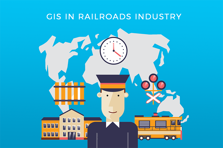
GIS and mapping software have its application in almost all industries, transportation being one of them. One such example is the Railroads Industry, where the use of GIS is intertwined with the real-estate transactions. As Tomy Brown, owner of the geoMobiliti Inc., Florida-based company that, among others, offers GIS solutions for Railroads, explains it:
“There is a considerate amount of revenues generated from utility companies crossing over railroad property which is especially important in US, because the railroads are not nationalized. Private railroad companies have transactions that take place with utility companies and adjacent land owners to lease land that the railroad owns.”
In the past, majority of work in the Railroads Industry had to be done manually, with paper maps and documentation. This made it hard to track properties and determine concrete details navigating through papers with information scattered on different stacks of paper.
By using GIS Cloud, the Railroad and Real Estate departments can get access to data with much more efficiency:
“It is so much easier now that you can, for instance, see an aerial image of the location and associated document to it. It allows a user to do actions in 5 minutes what would have taken them couple of hours usually.” – Tomy Brown
Another great thing is that cloud GIS makes it easier to collaborate on data and share it in just a few seconds to users on remote locations, through all devices. The added benefit is the possibility to use Mobile Data Collection for collecting data directly in the field:
“The ability to record data about their assets and to record property and drainage issues, to collect that information is very valuable for them to understand patterns, trends and the issues that they are dealing with on a daily basis.”
If you wish to find out more about using GIS in the Railroads industry, you can listen to Tomy Brown directly by registering for a free webinar “Using GIS in the Railroads Industry”.
Webinar time and date:
Wednesday, December 7th at:
8am PST 11am EST 5 pm CET